Hurricane Francine updates: System now a tropical storm as it move though Gulf region
State of emergency declared in Louisiana as New Orleans under tornado watch
Your support helps us to tell the story
From reproductive rights to climate change to Big Tech, The Independent is on the ground when the story is developing. Whether it's investigating the financials of Elon Musk's pro-Trump PAC or producing our latest documentary, 'The A Word', which shines a light on the American women fighting for reproductive rights, we know how important it is to parse out the facts from the messaging.
At such a critical moment in US history, we need reporters on the ground. Your donation allows us to keep sending journalists to speak to both sides of the story.
The Independent is trusted by Americans across the entire political spectrum. And unlike many other quality news outlets, we choose not to lock Americans out of our reporting and analysis with paywalls. We believe quality journalism should be available to everyone, paid for by those who can afford it.
Your support makes all the difference.Francine strengthened into a hurricane on Tuesday night and made landfall near New Orleans on Wednesday.
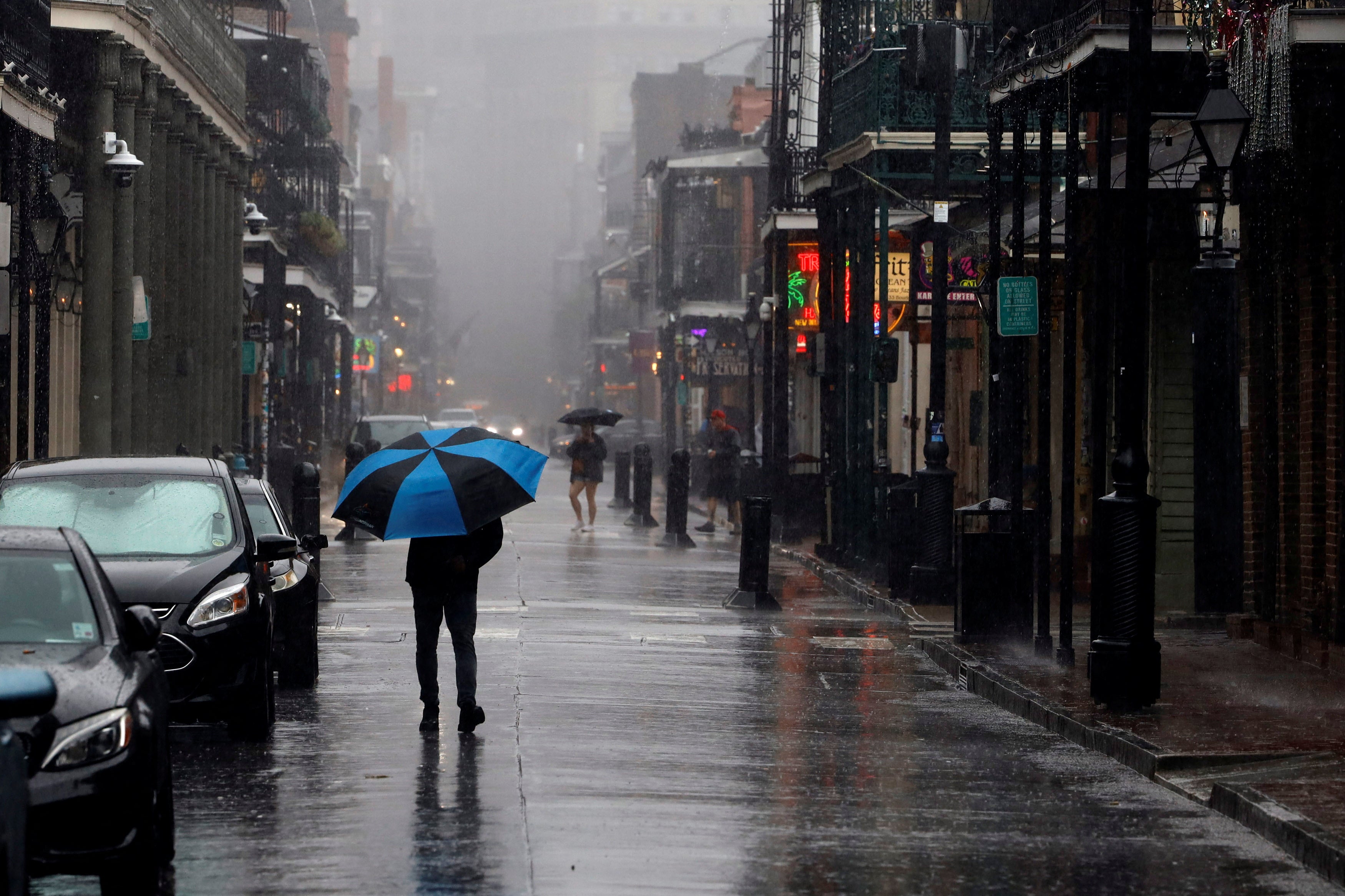
The hurricane sent New Orleans residents scrambling to prepare with evacuations underway in multiple areas, impacting certain services and shutting down City Hall. Mayor LaToya Cantrell urged residents to prepare to hunker down.
“Hold the line, stay focused, stay prepared,” she said at a Wednesday briefing.
In Baton Rouge, Louisiana, Governor Jeff Landry – who had declared a state of emergency to help free up resources to prepare for the storm – instructed residents to take advantage of the electricity they still receive.
By Wednesday night, the system was downgraded into a tropical storm as it moved its way through Mississippi, heading north.
“There is a danger of life-threatening storm surge during the next several hours for portions of the Louisiana and Mississippi coastlines, where a Storm Surge Warning remains in effect,” National Weather Service forecasters warned.
Even as Tropical Storm Francine continues to weaken, forecasters ask people to remain vigilant about the rainfall and the potential for flash flooding.
Louisiana officials give press briefing on Francine response
The time to evacuate has now passed, Louisiana officials warned Wednesday. In a press conference, Republican Governor Jeff Landry said that Hurricane Francine was beginning to impact the state.
“Stay home and stay put,” the governor said, advising people to take advantage of the power they currently have.
“If the conditions are not too rough in the area, then now could be the last opoortunity for you to take photos of your property to assess the damage once the storm has passed,” Landry added.
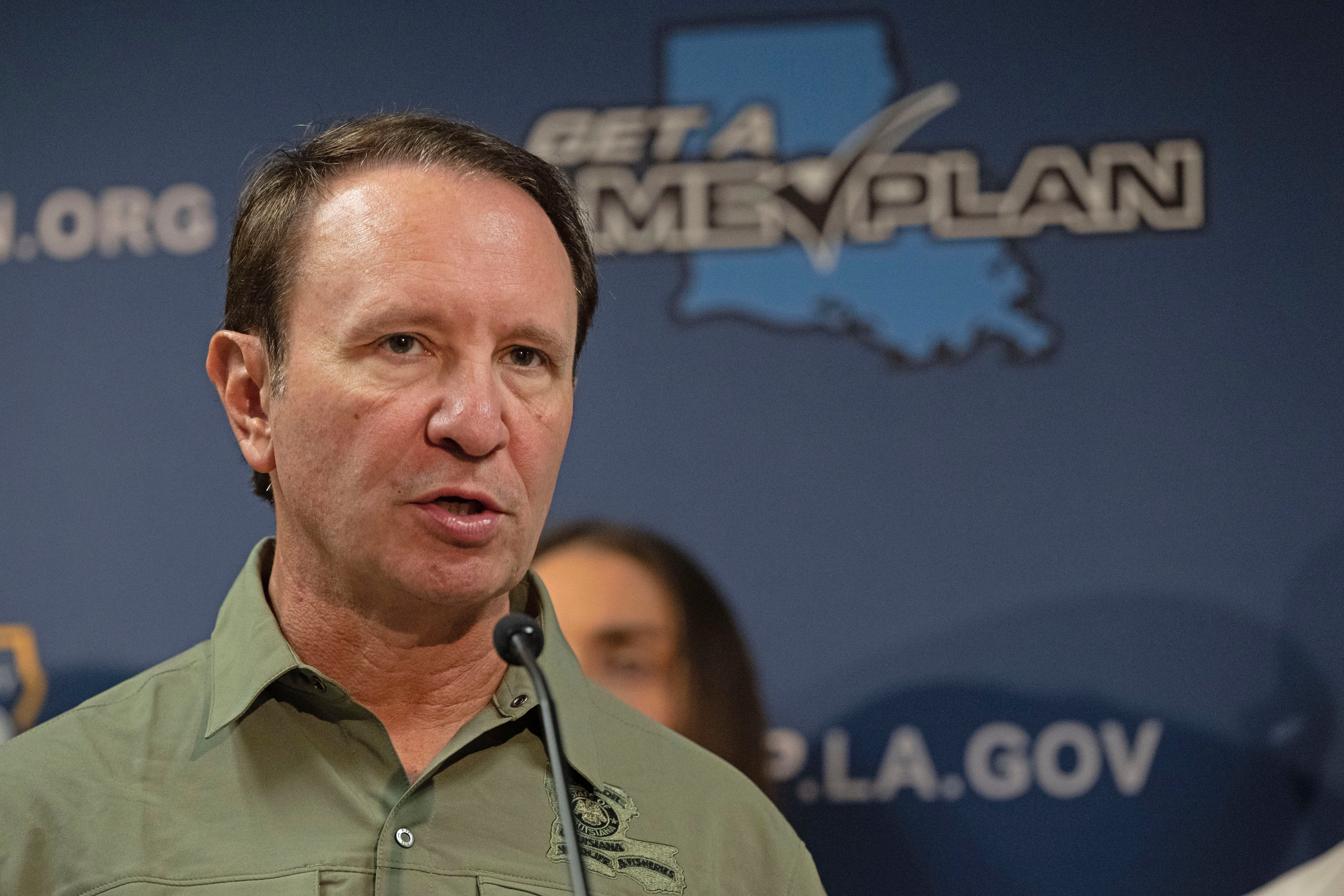
Residents are also instructed to put important documents in a safe and waterproof place.
“We are now no longer in the prepare for a hurricane, we are now in the respond for a hurricane,” Jacques Thibodeaux who serves as the Director of the Governor’s Office of Homeland Security and Emergency Preparedness, said.
New Orleans shifts to bus transit services only
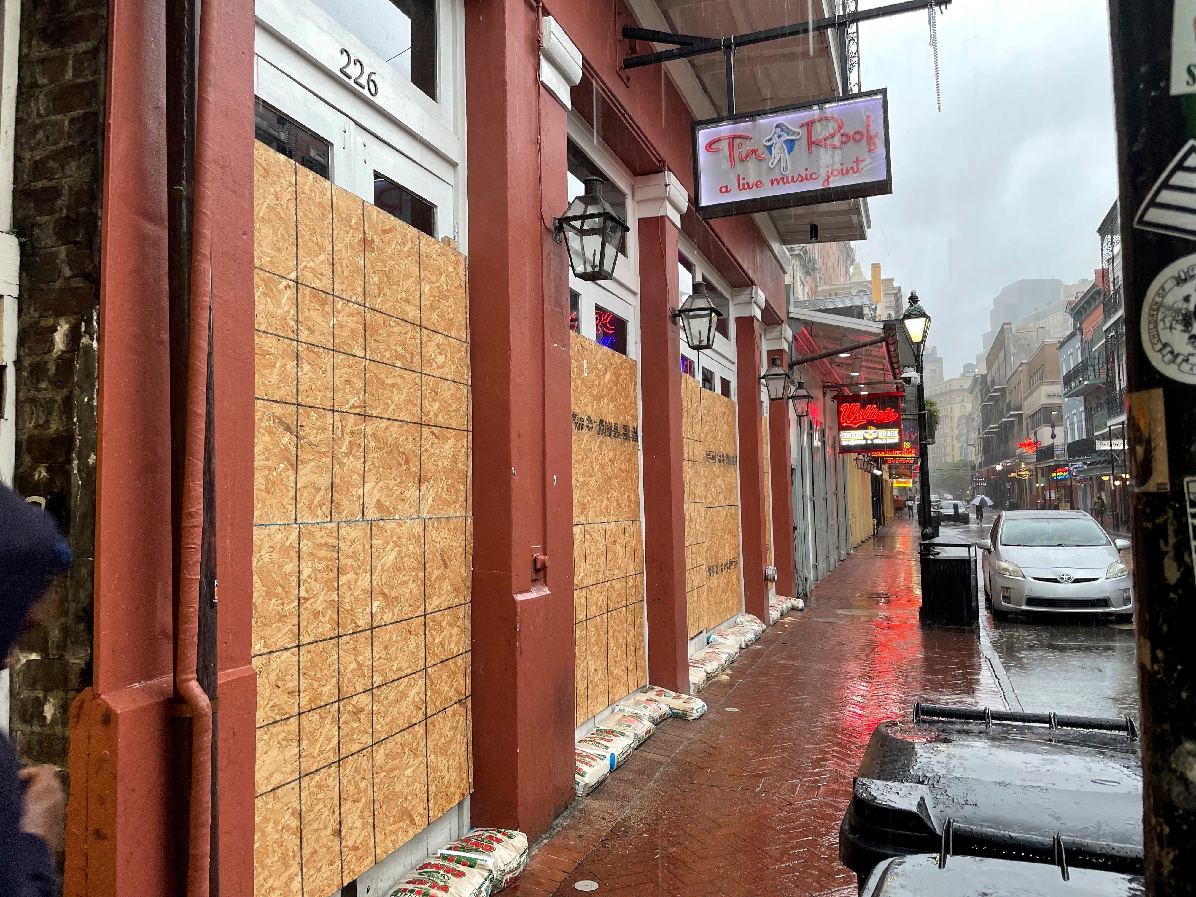
The New Orleans Regional Transit Authority will shift to bus transit services only on Wednesday, starting at noon.
The city’s emergency preparedness campaign said that all ferry and streetcar operations would remain suspended until further notice.
New Orleans Mayor LaToya Cantrell to hold news conference
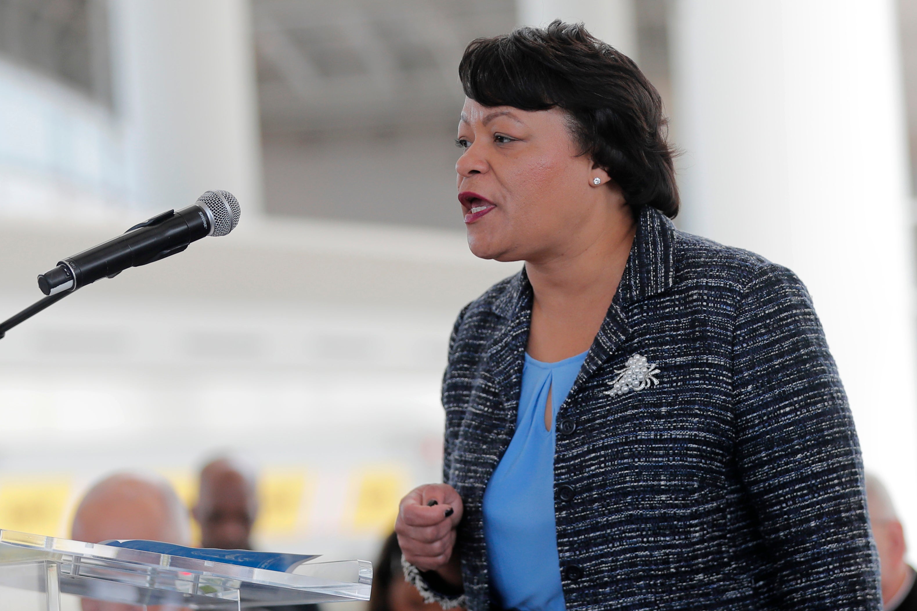
New Orleans Mayor LaToya Cantrell tweeted that she would hold a news conference on Instagram Live at noon.
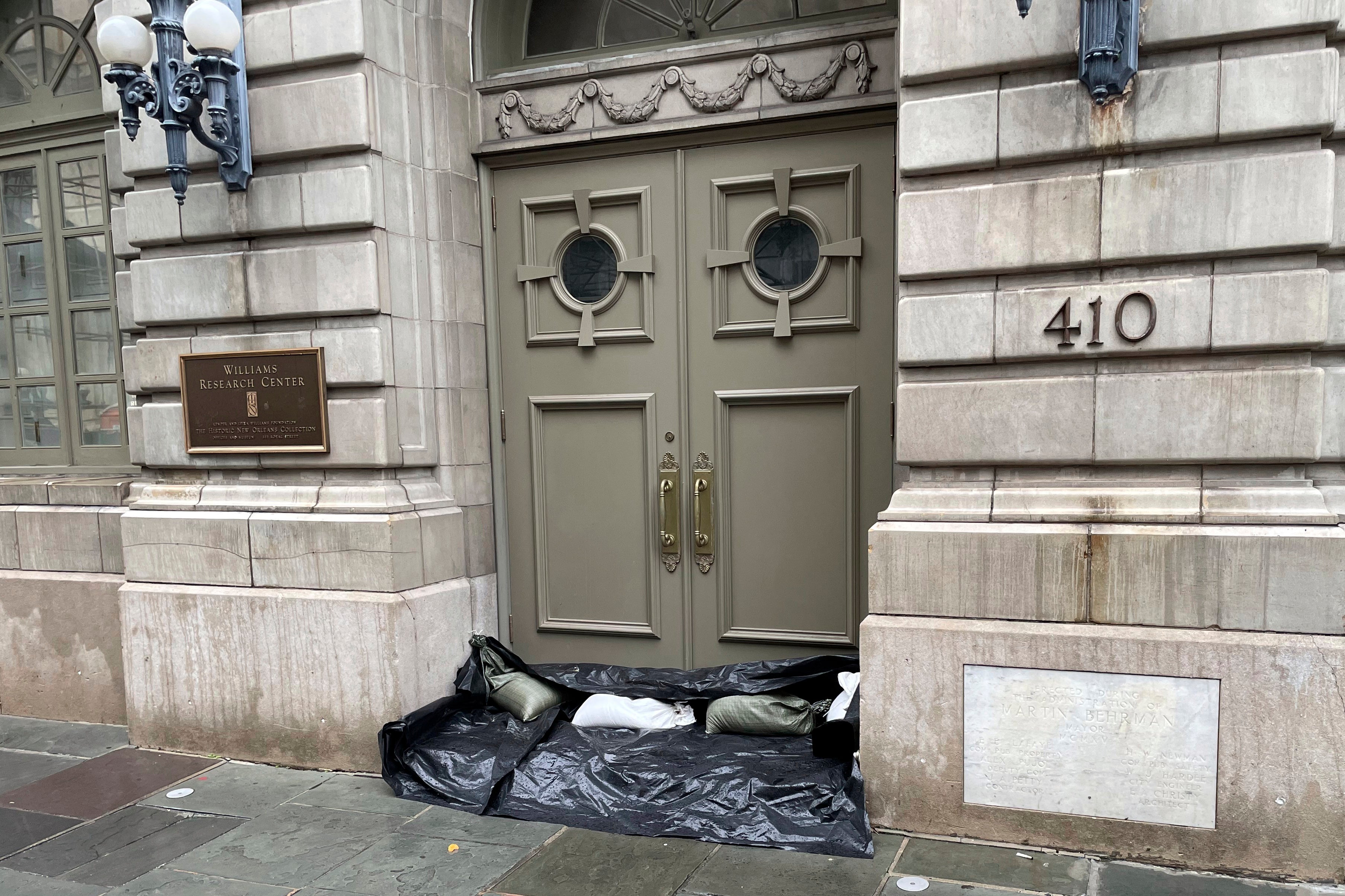
New Orleans officials warned in a wide-ranging press conference on Wednesday that there will be street flooding in the major metro. Isolated tornadoes are also possible in the region.
“We are reslient, and we are ready,” said Mayor LaToya Cantrell. She said New Orleanians had done well in following instructions from the city.
There was an uptick in people who signed up for NOLA Ready emergency alerts, and Cantrell said they were prepared in more ways than before.
Conditions are expected to diminish in New Orleans at around 2 p.m., but the worst impacts are expected in starting at around 6 p.m. and lasting through midnight.
Collin Arnold, New Orleans’ director of homeland security and emergency preparedness, said that strong winds at speeds up to 40 miles per hour could knock out power. Louisiana utility Entergy said it added 2,000 lineworkers and hundreds ahead of the storm.
The city is under a hurricane watch and a tropical storm warning, and could see rainfall of 4-8 inches, although local amounts could be higher.
If there is enough rain, Arnold said there could be street flooding. Although, he categorized the situation with pumps and power as “good.”
He expects dramatic improvement around noon on Thursday.
“Again, and I cannot emphasize enough, please, starting this afternoon, and particularly tonight — this evening six, seven o’clock — get off the roads,” he said.
While emergency resource centers have been set up, they will not be open until after the storm passes, should it be necessary.
There were no issues with hospitals and other healthcare facilties. The city was in contact with all of its independent living facilities.
New Orleans shelters are reportedly at capacity, but there are still spaces at New Orleans Recreation Department sites.
Police will be working 12-hour-long shifts, and numerous high water vehicles and boats have been deployed.
The SPCA will respond to issues threatening animals’ lives.
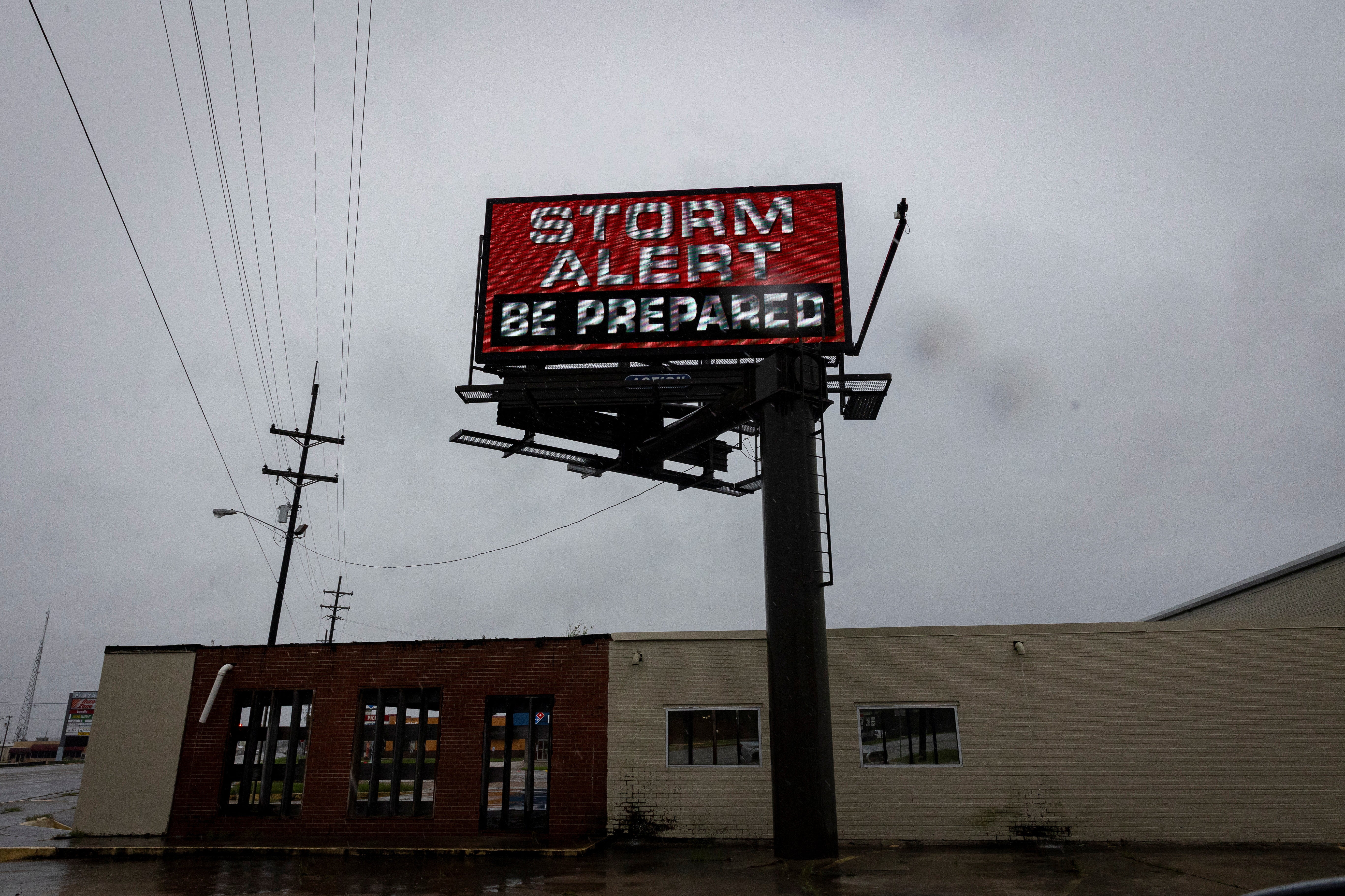
Tropical storm conditions have reached the Louisiana coast as Hurricane Francine moved about 95 miles southwest of Morgan City Wednesday afternoon.
The National Hurricane Center said that life-threatening storm surge and hurricane-force winds are expected to begin in Louisiana during the next several hours.
The timeline for the hurricane’s landfall is still from afternoon to the evening. Little change in strength is expected before it hits.
After that, the system will cross southeastern Louisiana before moving northward across Mississippi on Thursday.
The system is forecast to become post-tropical on Thursday.
Tornado watch issued for New Orleans metropolitan area
The National Weather Service issued a tornado watch Wednesday afternoon for parts of Louisiana and Mississippi. The watch is in effect until 11 p.m.
A tornado warning was issued for Plaquemines Parish.
“Take cover NOW in an interior room or a small closet if you are in the warning area!” the agency’s New Orleans station said.
Two of its stations along the coast were reported sustained Tropical Storm winds, including Eugene Island and Caillou Lake with (53 mph).
“Also note the elevated platform in the gulf w/ winds of 86 mph gusting to 112 mph. Strong winds will spread inland through the afternoon.”
Tropical-storm-force winds and rain spreading over southern Louisiana
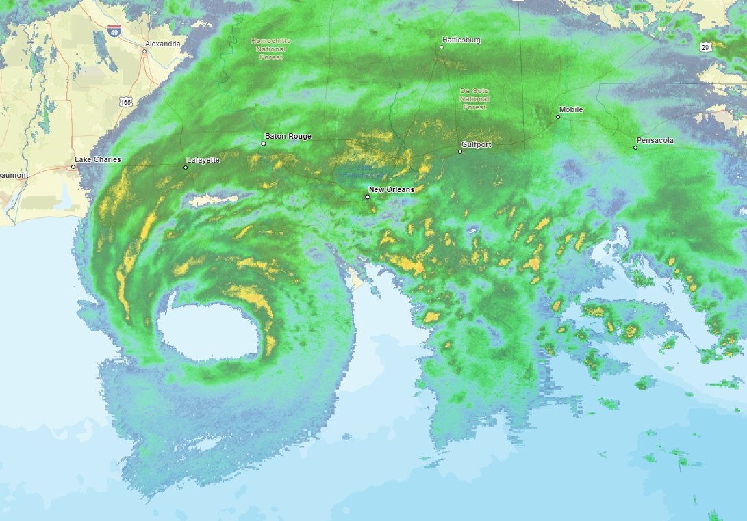
The National Hurricane Center said heavy rain and tropical-storm-force winds are spreading inland across the state.
“Now is the time to stay inside and away from windows. Have multiple ways to receive warnings and update,” the agency wrote on X.
Hurricane Francine will make landfall later in the day or evening.
Social media users react as storm surge, rain impacts southern coast
Social media users took to X on Wednesday afternoon as Hurricane Francine whirled toward the southern Louisiana coast.
The northern eye wall is expected to move onshore near lower Terrebonne Parish in the next 30 minutes, and people there were told to shelter in place.
Videos and photos showed heavy rainfall and storm surge across the region.
In one video, birds appeared to struggle against the wind in Morgan Place, which was under a curfew until 6 a.m. on Thursday.
Police there would patrol and stop residents who walked through the city.
Famed storm chaser Reed Timmer is livestreaming the storm, and posted video of minor flooding in Dulac.
New Orleans gay bar staying open for the storm
One gay bar in New Orleans is staying open as Hurricane Francine approaches Louisiana.
Phoenix Bar said that Happy Hour prices would be in effect through Thursday at 10 a.m.
“We are open! We have power! We are Hurricane Partying! We are safe!” the bar wrote on Facebook Wednesday afternoon.
On Tuesday, the bar said it was stocked with candles in case the power goes out. New Orleans is expected to see strong winds from the storm.
“We have lots of candles in case the power goes out just remember if that happens the arm wont work so have cash on hand! Stay safe and be prepared!” the bar said.
Phoenix Bar’s owner Tracy Deroche told NOLA.com that he expects business to be steady, and doesn’t think a loss of electricity would affect it.
“When we don’t have power, people usually stay,” he said. “It was 97 degrees in the bar (for the last outage), and people were still in there drinking. They’re just very supportive of us.”
Northern eyewall of Hurricane Francine nears southern Louisiana coast
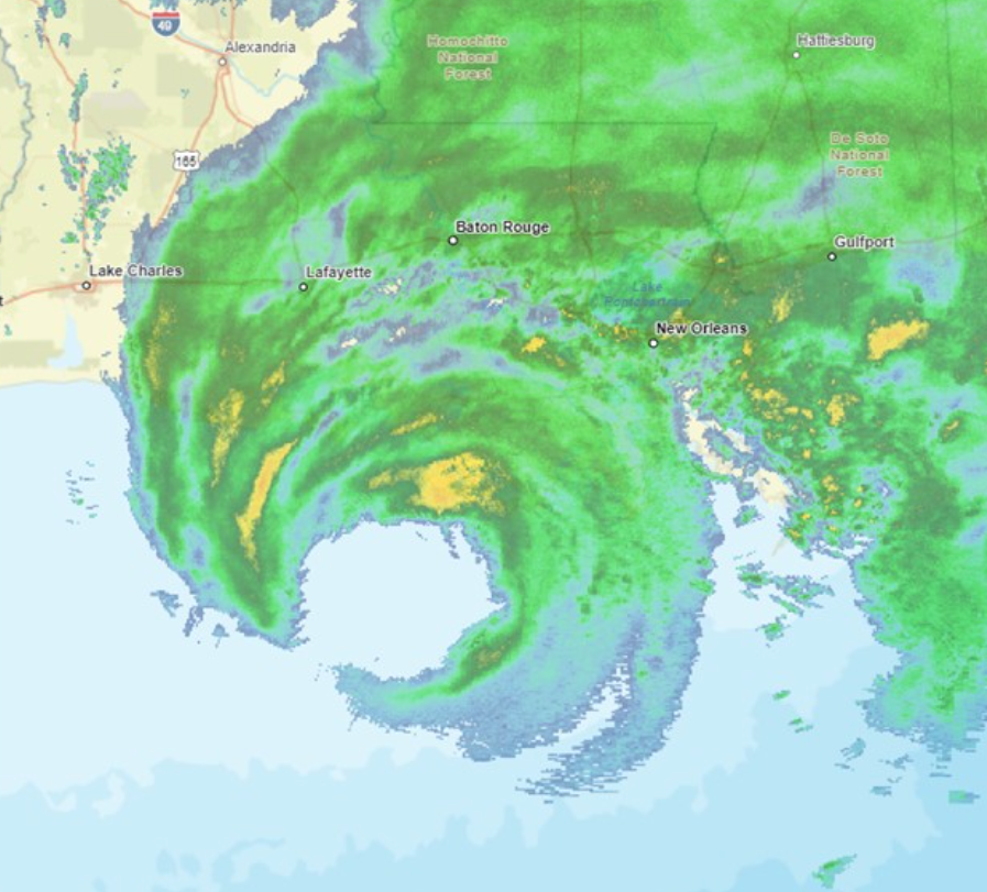
The northern eyewall of Hurricane Francine is nearing southern Louisiana. The national weather service said hurricane conditions would begin soon for residents in the area.
“Now is the time to stay inside and away from windows. Have multiple ways to receive warnings and updates,” the agency’s New Orleans station warned.
A NOAA at Eugene Island recently reported a near-hurricane-force gust of 69 miles per hour.
Strong winds are forecast to spread inland over the coming hours.
A flash flood warning was issued for Morgan City, Franklin, and Patterson until 9 p.m.
Join our commenting forum
Join thought-provoking conversations, follow other Independent readers and see their replies
Comments