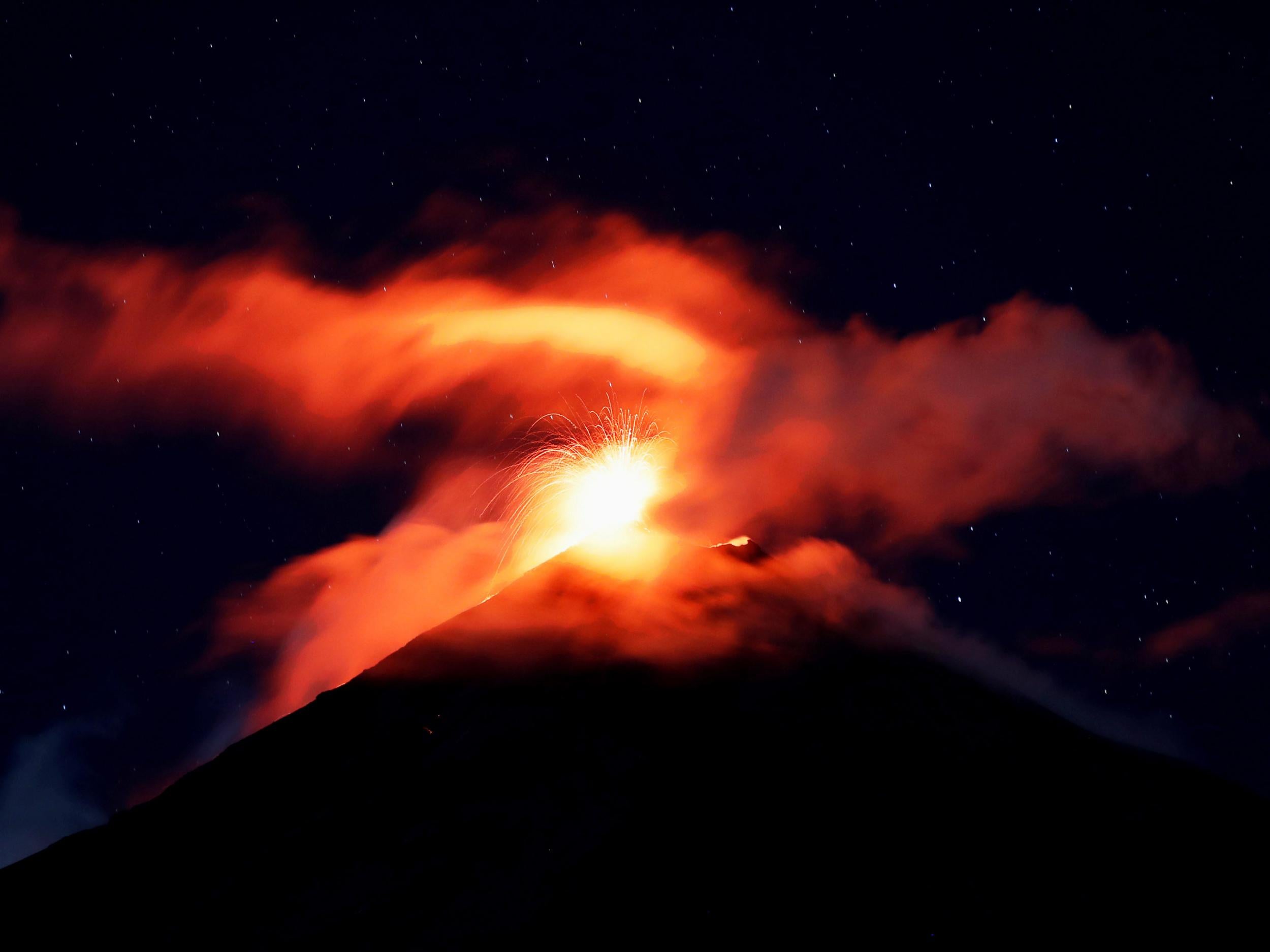
Guatemala Fuego volcano eruption - as it happened: Thousands told 'evacuate immediately' as glowing lava appears at summit
Communities urged to flee

Your support helps us to tell the story
From reproductive rights to climate change to Big Tech, The Independent is on the ground when the story is developing. Whether it's investigating the financials of Elon Musk's pro-Trump PAC or producing our latest documentary, 'The A Word', which shines a light on the American women fighting for reproductive rights, we know how important it is to parse out the facts from the messaging.
At such a critical moment in US history, we need reporters on the ground. Your donation allows us to keep sending journalists to speak to both sides of the story.
The Independent is trusted by Americans across the entire political spectrum. And unlike many other quality news outlets, we choose not to lock Americans out of our reporting and analysis with paywalls. We believe quality journalism should be available to everyone, paid for by those who can afford it.
Your support makes all the difference.About 4,000 residents fled Guatemala‘s Volcano of Fire Monday as red-hot rock and ash spewed into the sky and cascaded down the slopes towards an area devastated by a deadly eruption earlier this year.
Guatemala’s volcanology unit said that explosions from the 12,300-foot (3,763-metre) high mountain shook homes with “constant sounds similar to a train locomotive”.
Incandescent material burst as high as 1,000 meters (3,200 feet) above the crater and flows of hot rock and ash extended nearly 2 miles (3 kilometres) down one flank of the volcano. Hot blasts of pyroclastic material pushed down canyons on the slopes, while a column of ash rose nearly 23,000 feet (7,000 metres) above sea level and drifted towards Guatemala City to the east.
Hundreds of families heeded the call of disaster coordination authorities to evacuate 10 communities, piling into yellow school buses for trips to shelters. The national disaster commission said 3,925 people had been evacuated by early Monday.
The Volcano of Fire is one of the most active in Central America and an eruption in June killed 194 people. Another 234 are officially missing, although organisations supporting the communities have insisted there are thousands of missing persons.
It spewed more ash and hot rock in October, prompting warnings for the nearby communities.
The biggest danger from the volcano are lahars, a mixture of ash, rock, mud and debris, that can bury entire towns.
Please allow a moment for the liveblog to load
News of the volcano's eruption broke only a short while ago. Here's our full story:
June eruption deadliest in Guatemala for 89 years
Almost 200 people died and more are still missing after the Volcano of Fire spewed ash and lava onto the surrounding area in June in what was the country's deadliest eruption since 1929. Support groups say thousands missing, presumed dead.
Then, around 3,100 people were ordered to evacuate but the eruption moved quickly and communities around the volcano had very little time to flee.
Dramatic video filmed at the time showed a fast-moving lahar, or flow of pyroclastic material and slurry, slamming into and partly destroying a bridge on a road between Sacatepequez and Escuintla.
Evacuation order not mandatory
At least three of the communities told to leave have started to flee, rescue group Antigua al Rescate has said.
The organisation posted a photograph to Facebook that showed the volcano with a ball of flame at its summit surrounded by a plume of smoke. It also posted a diagram illustrating the seismic activity in the area.

June eruption from space
To give you an impression of the size of the eruption earlier this year — here is footage of it from space.
The video shows ash and lava being fired high into the air before raining down on the area close to the volcano.
Authorities rush to set up emergency accommodation
Guatemala’s defence ministry has been setting up tents at a nearby municipal stadium to accommodate evacuees, the country’s coordinator for disaster response has said.
Ash 'to travel 30km'
Guatemala's national institute for Seismology, Volcanology and Meteorology has issued a diagram showing the ash is expected to travel around 30km in southwest and northeast directions from the volcano's summit.
Only women evacuated from village
Panimaché 2, which lies at the foot of the volcano, decided at a meeting to only evacuate women, Guatemala's disaster coordinator has said.
Communities still undecided about whether to flee
Representatives from the village of Chuchú, Escuintla, which lies around 10 kilometres to the south of the volcano's summit, were set to decide whether to evacuate at a meeting this morning, officials said.
They also who claimed many of the 300 families living there did not want to leave.
Lava flows down ravines
Disaster officials have said pyroclastic clouds, which contain ash, lava and vapour, are flowing down the Las Lajas and Honda ravines.

Join our commenting forum
Join thought-provoking conversations, follow other Independent readers and see their replies
Comments