UK weather: Britain braced for further flooding as roads submerged ahead of snow alert
Further torrential rain and flooding could be on the way
Your support helps us to tell the story
From reproductive rights to climate change to Big Tech, The Independent is on the ground when the story is developing. Whether it's investigating the financials of Elon Musk's pro-Trump PAC or producing our latest documentary, 'The A Word', which shines a light on the American women fighting for reproductive rights, we know how important it is to parse out the facts from the messaging.
At such a critical moment in US history, we need reporters on the ground. Your donation allows us to keep sending journalists to speak to both sides of the story.
The Independent is trusted by Americans across the entire political spectrum. And unlike many other quality news outlets, we choose not to lock Americans out of our reporting and analysis with paywalls. We believe quality journalism should be available to everyone, paid for by those who can afford it.
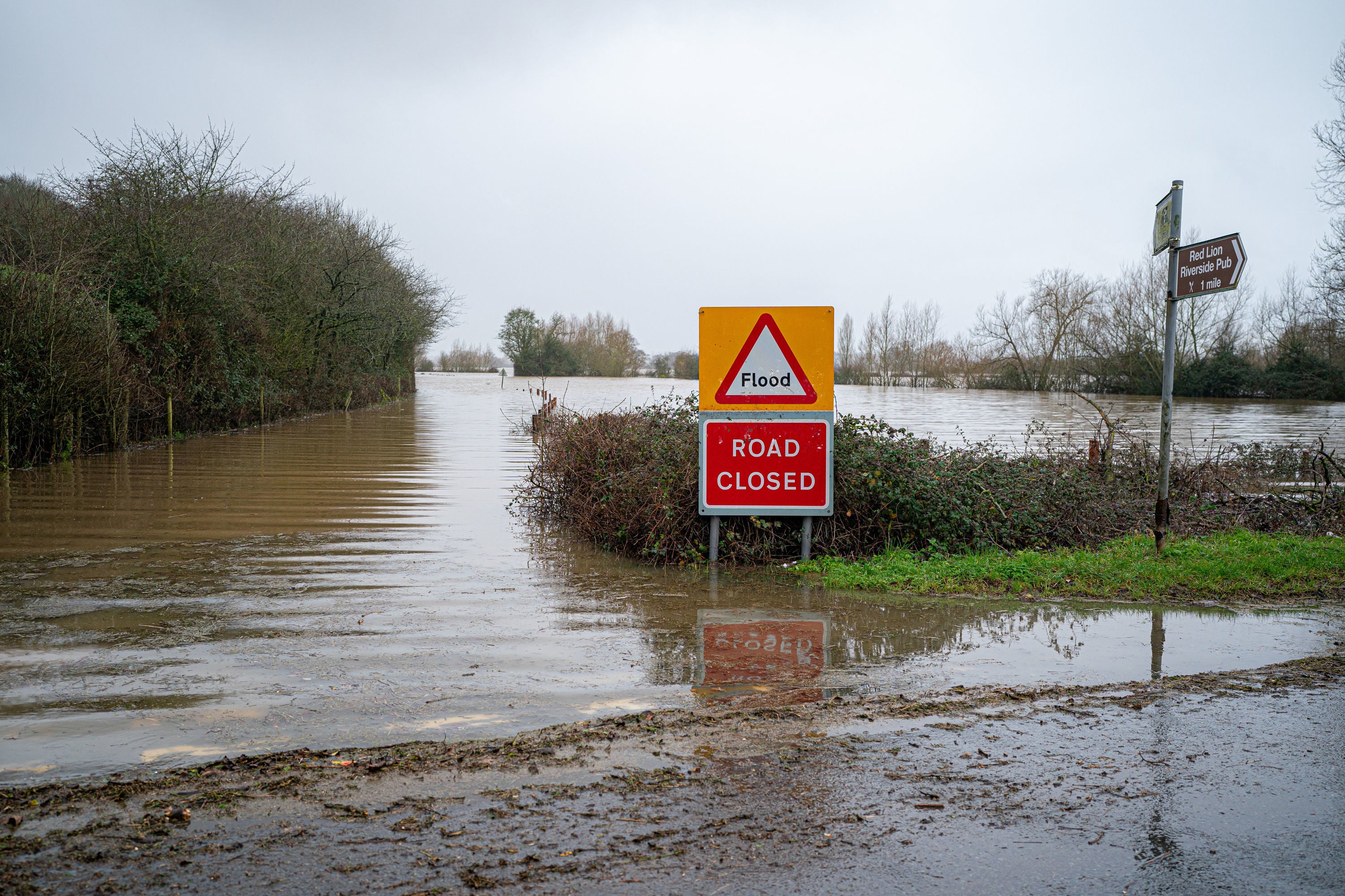
Your support makes all the difference.Britain is braced for yet more flooding as roads and pathways were deluged by torrential rainfall causing the River Severn to burst its banks.
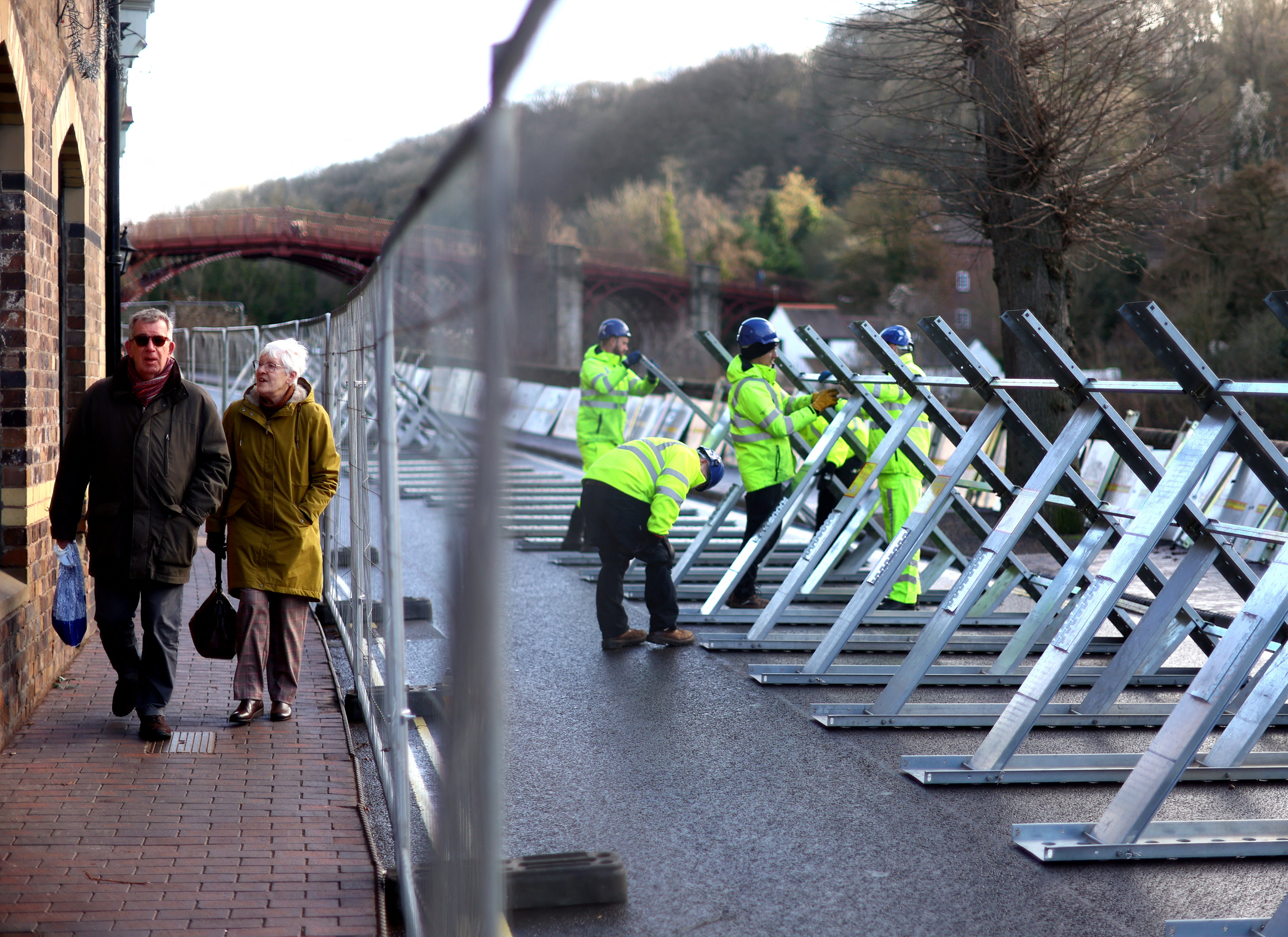
Roads and car parks have been left submerged, while at Ironbridge, temporary barriers were put in place in a bid to hold back the bulging river after heavy downpours on Saturday in parts of South West England, the north and the West Midlands.
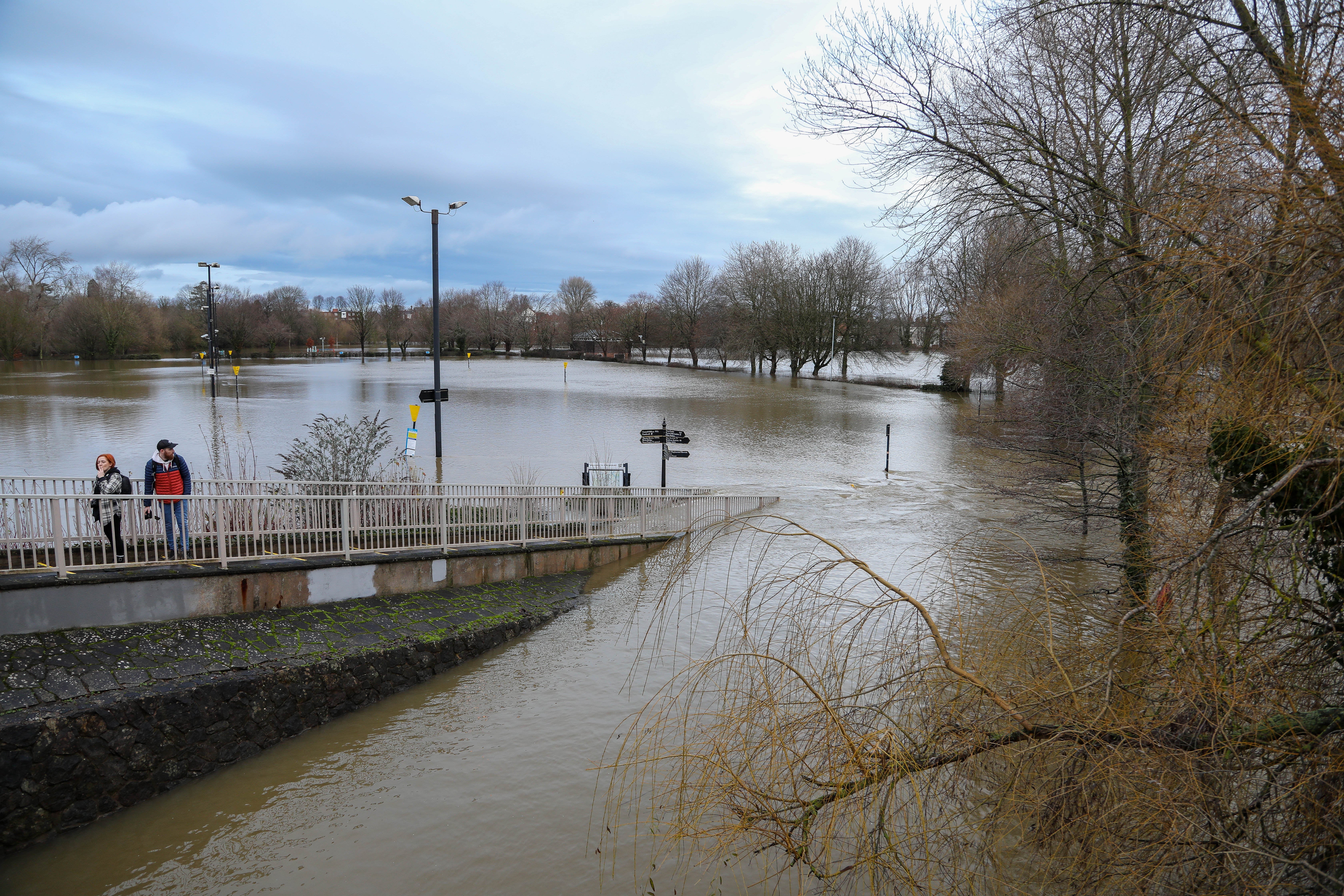
A further 25 flooding alerts have been issued by the Environment Agency for small rivers around the Severn. Videos of Shrewsbury showed roads and pathways completely submerged by water and signposts immersed in the river.
Several roads have been closed and temporary flood barriers are in place at Frankwell and Ironbridge as heavy rain continues to fall.
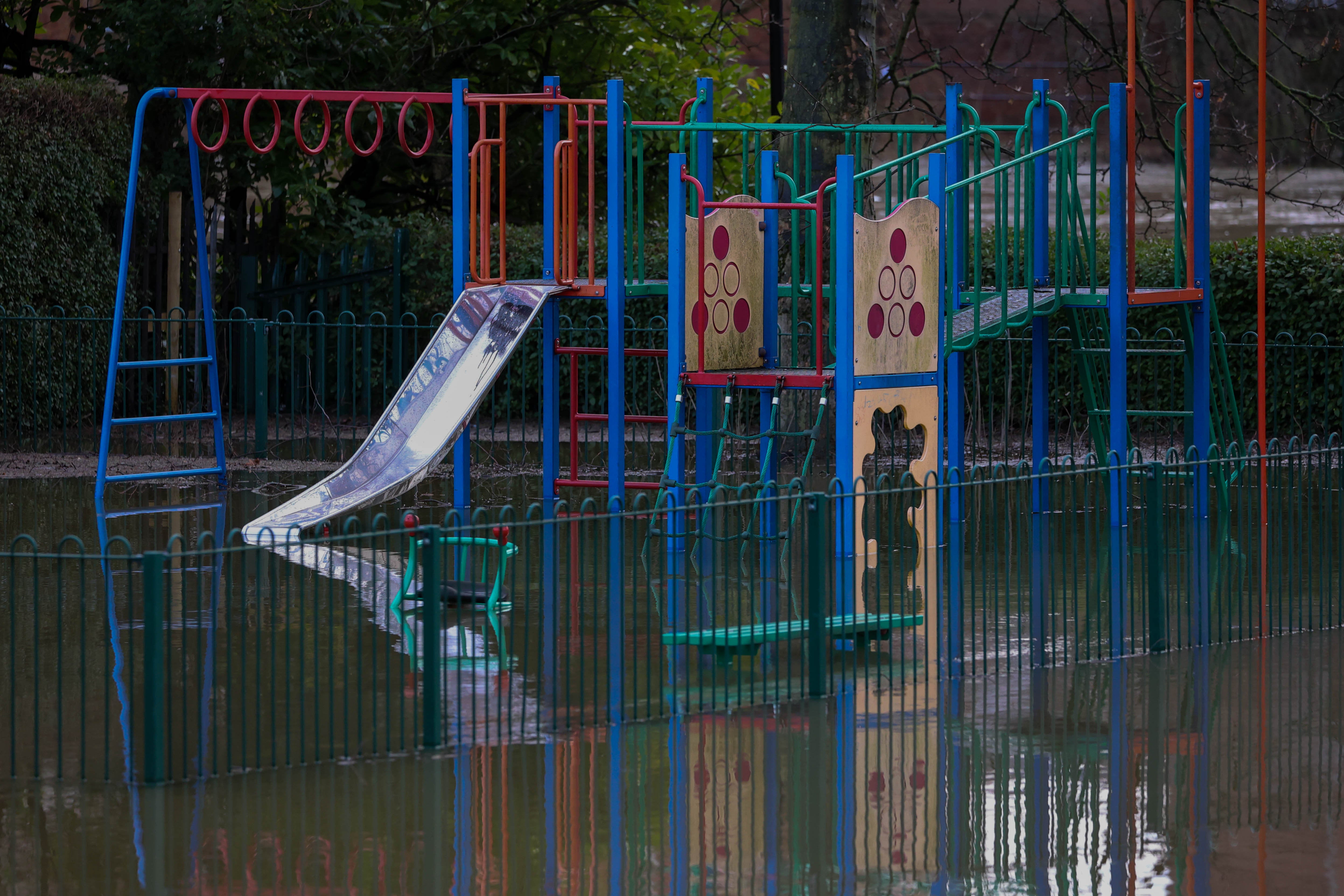
Pictures of Shrewsbury showed playgrounds flooded, pipes overflowing and building underwater.
Further torrential rain and flooding could be on the way with some snow in the north, with the Met Office warning that people in Northern Ireland and southern Scotland warned they should be braced for the strongest winds.
On Saturday night, 112 flood warnings and 186 flood alerts are in place in England. In Scotland, seven flood alerts are in place and two flood warnings. In Wales, eight flood warnings and 30 flood alerts have been issued.


The forecaster said: “Westerly winds will increase across western Scotland and northern parts of Northern Ireland later this afternoon and evening with gusts of 45-55 mph inland and 60-70 mph around the coast, easing later this evening.
“A band of persistent and occasionally heavy rain will extend south across the warning area during this period, and combined with saturated ground may lead to some flooding.”

A yellow warning for ice covering much of Scotland and the North-West and North-East of England suggests there could be “icy surfaces and high-ground snow leading to some difficult travelling conditions in places on Saturday night and Sunday morning”, the Met Office added.
Expected “frequent wintry” snow showers have also prompted the Met Office to issue a yellow warning for snow and ice for northern Scotland from Sunday through to Wednesday.

It said: “A few centimetres of snow are likely at low levels over a given 24-hour period, with the potential for 10-15cm above 200 metres, especially across parts of the Highlands. Ice will be additional hazard, especially Tuesday night.”
Residents are urged to take care as there may be some icy patches on some untreated roads, pavements and cycle paths and some roads and railways are likely to be affected with longer journey times by road, bus and train services.
Additional reporting by agencies


Join our commenting forum
Join thought-provoking conversations, follow other Independent readers and see their replies
Comments