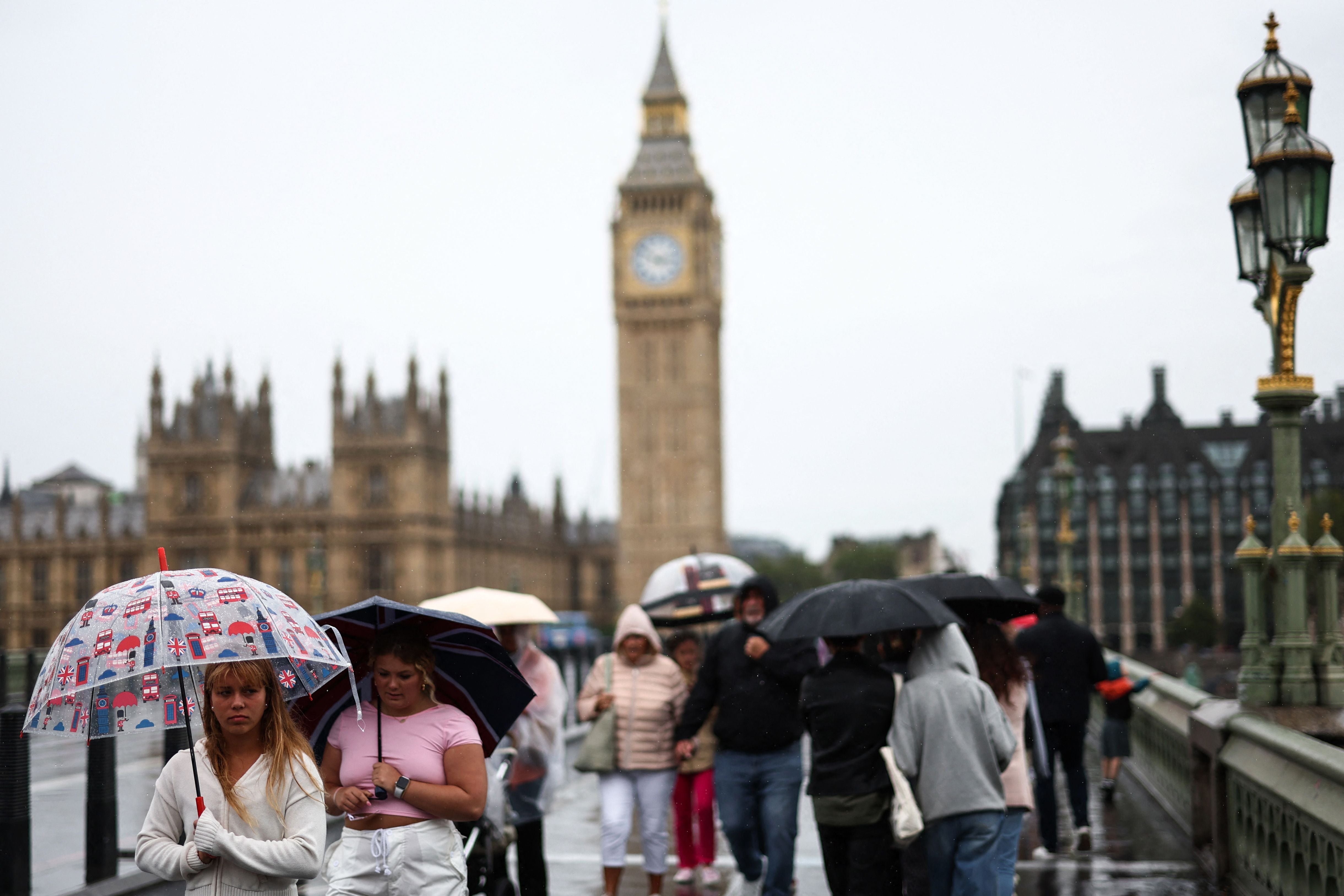
Met Office warns of thunderstorms and power cuts as summer holiday washout continues
Last month marked the UK’s sixth wettest July on record and the wettest in Northern Ireland’s history


The Met Office has warned of thunderstorms and power cuts across the UK as the summer holiday washout continues.
A yellow weather warning for wind has been issued across parts of southern England on Wednesday, in place from 04.00 until 18.00. Bringing gusts of up to 50mph in some coastal areas, heavy rain could accumulate between 20 and 25mm within an hour.
Last month marked the UK’s sixth wettest July on record and the wettest in Northern Ireland’s history, with the UK averaging 140.1mm of rain across the month.

Areas in England further set new rainfall records, including Greater Manchester, Lancashire and Merseyside, which all experienced their wettest July since records began in 1836.
The latest figures could be reviewed once all rainfall data for last month has been collected and reviewed, the Met Office added.
Met Office Chief Meteorologist, Dan Suri, said: “An unseasonably deep area of low pressure for the time of year will move into Ireland during the early hours of Wednesday then continue across Wales and England during Wednesday daytime.
“Heavy rain associated with this low will affect large parts of the UK tonight and on Wednesday, some of the heaviest rain occurring on Wednesday over central parts of England and Wales where some locations could see 40mm of rain in just a few hours from thundery downpours.
“This deep low will also bring high winds into the UK on Wednesday, especially the south. Gusts of up to 60mph are possible in the very far southwest early on Wednesday whilst further along the south coast the highest gusts will be during Wednesday daytime.”
Whilst much of southern Europe experiences a heatwave, these conditions aren’t set to reach the UK. Located on the northern side of the jet stream, bringing low pressure, the southern side is behind the recent heat across Europe.


“Typically we are to the south of that jet stream and what that allows and what it allowed last summer is for a high pressure to build over the UK, and allows the UK to kind of draw up warmer air from the south”, Met Office spokesman Stephen Dixon explained of recent poorer weather conditions.
“It’s down to that jet stream and how it develops weather towards the UK. At the moment, it’s kind of directed towards the UK, which helps to develop these low pressure systems and gives us a bit of a little autumnal-feel for the weather that we’ve seen in recent weeks.”
UK 5 day weather forecast:
Tonight: Showers persisting in the north tonight. Elsewhere rain spreading northeastwards from southwest England and turning heavy at times. Winds strengthening also with a risk of gales in the far south.
Wednesday: A wet and windy day on Wednesday for many, with a risk of thunderstorms for central and southern regions. Some sunny intervals especially in the far northeast.
Thursday-Saturday: A mixture of sunshine and showers on Thursday and Friday. Probably turning generally wetter on Saturday. Feeling cool throughout.
Join our commenting forum
Join thought-provoking conversations, follow other Independent readers and see their replies
Comments


Bookmark popover
Removed from bookmarks