UK weather: Met Office gives update on when warm weather is set to arrive in Britain
Mix of brighter conditions and showers expected across UK
Your support helps us to tell the story
From reproductive rights to climate change to Big Tech, The Independent is on the ground when the story is developing. Whether it's investigating the financials of Elon Musk's pro-Trump PAC or producing our latest documentary, 'The A Word', which shines a light on the American women fighting for reproductive rights, we know how important it is to parse out the facts from the messaging.
At such a critical moment in US history, we need reporters on the ground. Your donation allows us to keep sending journalists to speak to both sides of the story.
The Independent is trusted by Americans across the entire political spectrum. And unlike many other quality news outlets, we choose not to lock Americans out of our reporting and analysis with paywalls. We believe quality journalism should be available to everyone, paid for by those who can afford it.
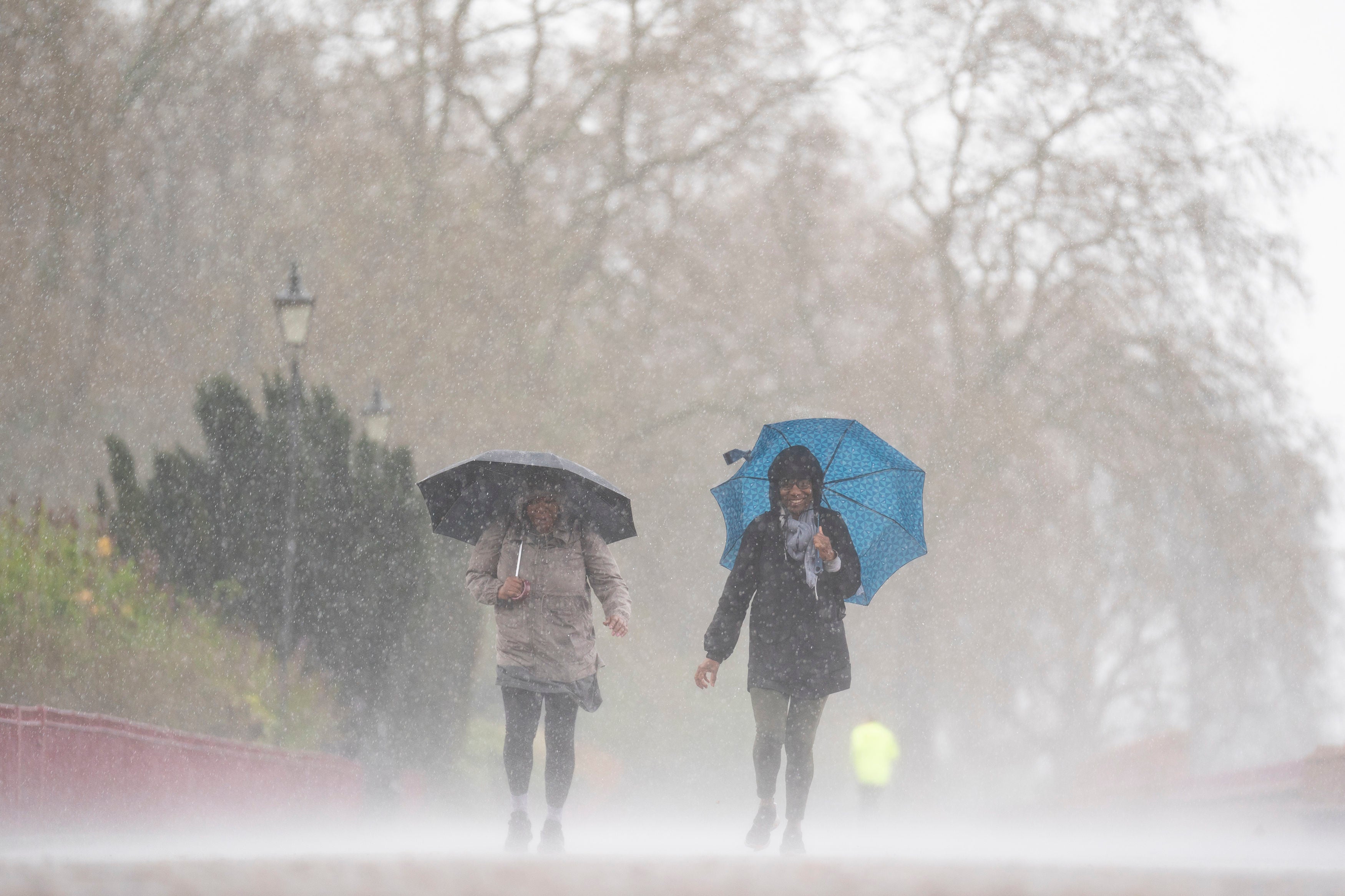
Your support makes all the difference.The UK is set to experience a mixed bag of weather conditions in the coming days, with rain, drizzle and heavy showers expected before warmer temperatures return.
Met Office chief meteorologist Steve Willington has warned that cold conditions from earlier in the week will linger the longest in the far north of Scotland, while the rest of the UK will see a transition to warmer but more unsettled conditions.
On Thursday, cloudy weather will follow after a bright start to the day as rain spreads across most parts by end of day. Some heavy rain is expected in the south.
Highlands will see another day of chilly frost, with “heavy snow” expected above 700m, leading to “whiteout conditions”.
Temperatures are set to rise to 18-21C in some parts of the country by Friday.


Over the bank holiday weekend, a mixture of brighter conditions and showers are expected, with the heaviest and most frequent rains likely to occur in the west on Saturday.
On Sunday, most locations can expect to see at least some showers, while rains will more likely be focused towards the east on the bank holiday Monday, with drier conditions prevailing elsewhere.
Despite the mixed weather forecast, temperatures are expected to remain reasonable and above average.
“The coming bank holiday weekend itself will be a mixture of brighter conditions and showers,” deputy chief meteorologist Chris Almond said. “These showers will tend to be heaviest and most frequent in the west on Saturday.”
Temperatures are expected to be reasonable and above average.
Looking further ahead, the first half of next week is likely to be dominated by high pressure, but there is the possibility of heavier and potentially thundery showers as plumes of humid air move in from further south, the forecaster said.
Join our commenting forum
Join thought-provoking conversations, follow other Independent readers and see their replies
Comments