UK weather: Cyclone conditions set to hit Britain with heavy rain and gales
Your support helps us to tell the story
From reproductive rights to climate change to Big Tech, The Independent is on the ground when the story is developing. Whether it's investigating the financials of Elon Musk's pro-Trump PAC or producing our latest documentary, 'The A Word', which shines a light on the American women fighting for reproductive rights, we know how important it is to parse out the facts from the messaging.
At such a critical moment in US history, we need reporters on the ground. Your donation allows us to keep sending journalists to speak to both sides of the story.
The Independent is trusted by Americans across the entire political spectrum. And unlike many other quality news outlets, we choose not to lock Americans out of our reporting and analysis with paywalls. We believe quality journalism should be available to everyone, paid for by those who can afford it.
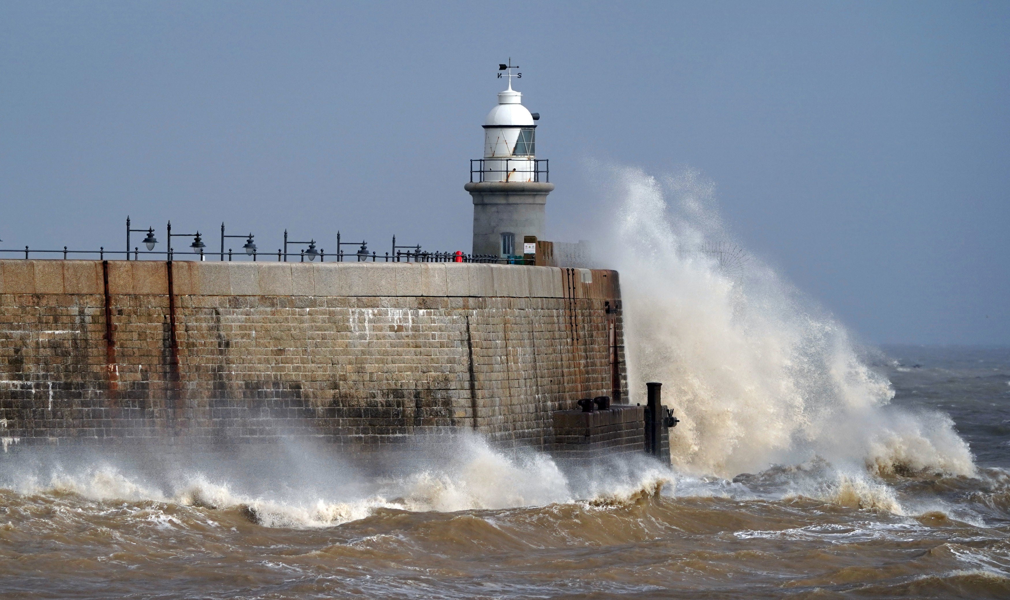
Your support makes all the difference.Cyclonic conditions are set to sweep the UK next week as Britons brace for another spell of tumultuous weather.
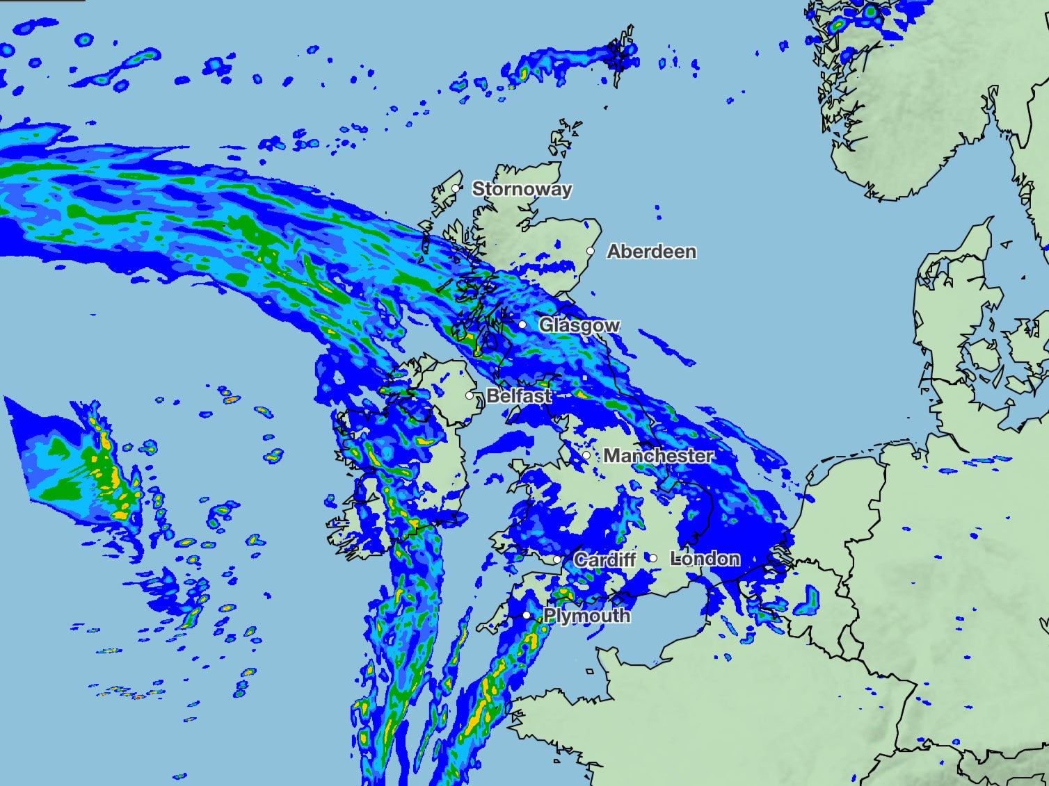
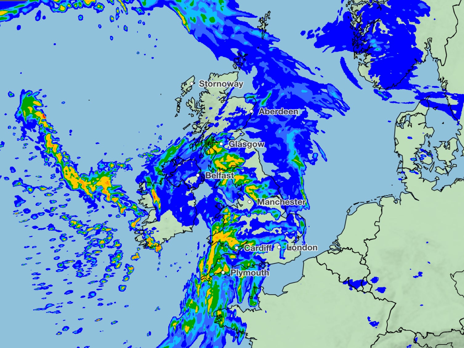
Heavy rain and high winds are set to dominate in the coming days, particularly along the western flank of the country – with the Met Office warning of 15mm of rainfall within three-hour periods.
The latest forecast has dashed hopes of more pleasant conditions weather after last week’s cold snap saw snowfall and ice in parts of the country.

Met Office spokesperson Stephen Dixon told The Independent a change to the jet stream means there is still some “uncertainty in next week’s forecast”, but he was confident that widespread rain and strong winds would be the “main feature.”
A cloudy, rainy Monday – mainly across western hills – will set the theme for much of the rest of the week, according to the forecaster’s updated outlook.
The Met Office’s long-range forecast from states: “Initial cloud and rain clearing northeastwards on Tuesday, likely followed by sunny spells interspersed with showers, these perhaps heavy at times especially in the north.
“Further cloud and rain may then spread from the west later. Locally strong winds possible, with a low risk of coastal gales.
“The rest of the period will likely be characterised by continued unsettled weather, with cyclonic conditions expected to dominate initially, bringing rain and showers, these heavy at times.”

Mr Dixon explained that the warning of “cyclonic conditions” was to portray the low-pressure system moving in from the west. It suggests a likelihood of wet and windy conditions, rather than the threat of an actual cyclone.
“The jet stream position helps to deepen low-pressure systems out in the Atlantic and swing them in towards the UK,” he said. “From Monday we will start to see some of those impacts.”
Mr Dixon added that “the lion’s share” of the rain would fall in north Wales, the southwest, and western Scotland, especially on higher ground.

The worst of the winds will meanwhile be felt in western coastal regions, he said.
Mr Dixon asserted that forecasters weren’t yet able to provide exact figures on windspeed, but said the more dramatic gusts would hit the north of Scotland “from the middle of next week.”
Northern areas are also in for a bout of wintry showers, most likely over higher ground – though Mr Dixon said the Met Office was not yet able to identify any individual snow events.
Wet and windy conditions aside, Britons can look forward to milder temperatures, with highs in the mid-teens and overnight lows remaining above freezing.
It will follow persistent rainfall on Saturday, especially in the north of Scotland, currently threatening a weekend washout.

Mr Dixon told The Independent that the western isles “could see an excess of 15mm of rainfall across the day,” while heavy showers in north west and Midlands could bring 5-10mm within three-hour period.
Met Office five day outlook
Friday:
Most areas seeing sunny spells today but also some showers, heavy at times with the odd rumble of thunder. Northern Scotland and parts of eastern and southern England cloudier with some more persistent rain for a time. Milder than yesterday.
Friday night:
Variable, and at times, large amounts of cloud tonight and also some showers, mainly in the south and west. Fog patches also developing, mainly away from the southeast. Mild.
Saturday:
Another changeable day with sunny spells and showers, heavy at times. Parts of Northern Ireland and northern and western Scotland cloudier with some more persistent rain. Quite mild again.
Outlook for Sunday to Tuesday:
A fine day for most Sunday once early rain or snow clears Shetland. Monday and Tuesday cloudy with rain, mainly across western hills and often windy. Temperatures mild for most.


Join our commenting forum
Join thought-provoking conversations, follow other Independent readers and see their replies
1Comments