Met Office gives verdict on where snow could fall in UK in November
Met Office reveals where they think snow could fall first in the UK
Your support helps us to tell the story
This election is still a dead heat, according to most polls. In a fight with such wafer-thin margins, we need reporters on the ground talking to the people Trump and Harris are courting. Your support allows us to keep sending journalists to the story.
The Independent is trusted by 27 million Americans from across the entire political spectrum every month. Unlike many other quality news outlets, we choose not to lock you out of our reporting and analysis with paywalls. But quality journalism must still be paid for.
Help us keep bring these critical stories to light. Your support makes all the difference.
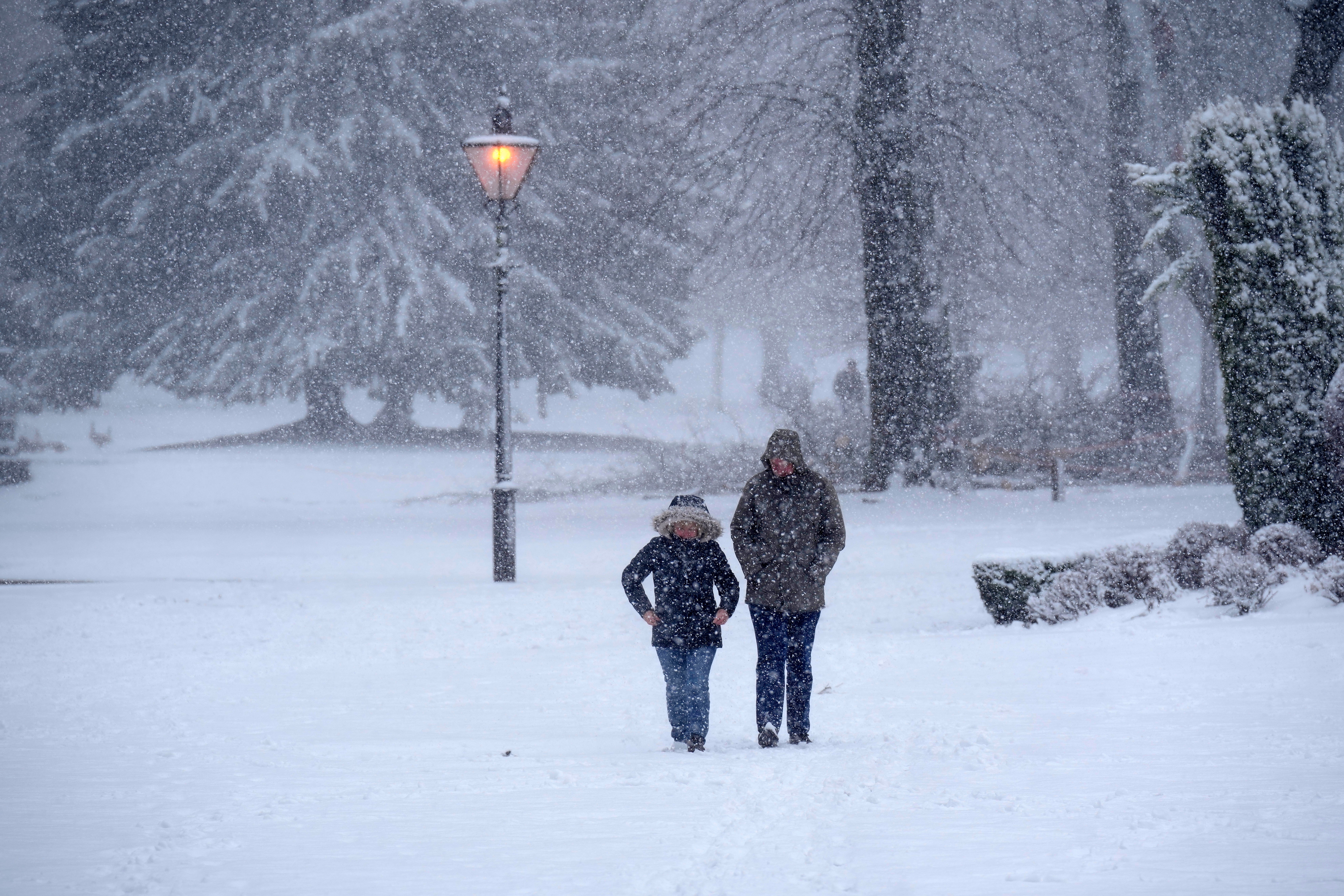
The Met Office has predicted a chance of snow for some areas of the UK - and it could come as early as next week.
Ice, mist and heavy fog are expected this weekend but the forecaster suggests there is a chance of snow arriving at the turn of November in the northern and eastern regions of the UK.
In a long-range forecast covering October 30 to November 8, the Met Office said: “Into the start of November, there is a chance the weather could (briefly) turn much colder/brighter, with a chance of snow showers in northern and eastern areas, but it’s equally possible these could stay clear of the UK, or the milder conditions could remain in place.
“Either way going forward it’s likely to stay mainly settled, with an increasing chance of more unsettled weather developing later in this period.”
This will come after a period of sunny weather this weekend, said the Met Office with dry and bright conditions forecast across northern England, Wales, the Midalnds and south west England on Saturday, and it cloudy elsewhere.
On Sunday, heavy rain will spread into northern areas, before slowly moving south through the day.
Temperatures will peak at 16C in the south west on Saturday across the weekend.
From Monday to Wednesday, it will be “largely setlled” with light rain or drizzle possible at times, the Met Office said.
However, from Wednesday, the period will see high pressure, resulting in a “often quiet and settled weather”, the body said.
A spokesperson added: “Some mist and fog is probable in the south at first, alongside rather cloudy conditions, whilst in the extreme north spells of stronger winds and rain could brush past giving a slightly more unsettled picture.”
They added that snow was possible in the northern and eastern areas of the UK.
It came amid reports of Scottish towns bracing for 150-mile-long snow blasts which threatened to engulf them.
But the Met Office warned “headlines don’t always reflect the reality”, adding: “Any snow will likely be confined to high ground in the north, as is normal for the time of year.”
Join our commenting forum
Join thought-provoking conversations, follow other Independent readers and see their replies
Comments