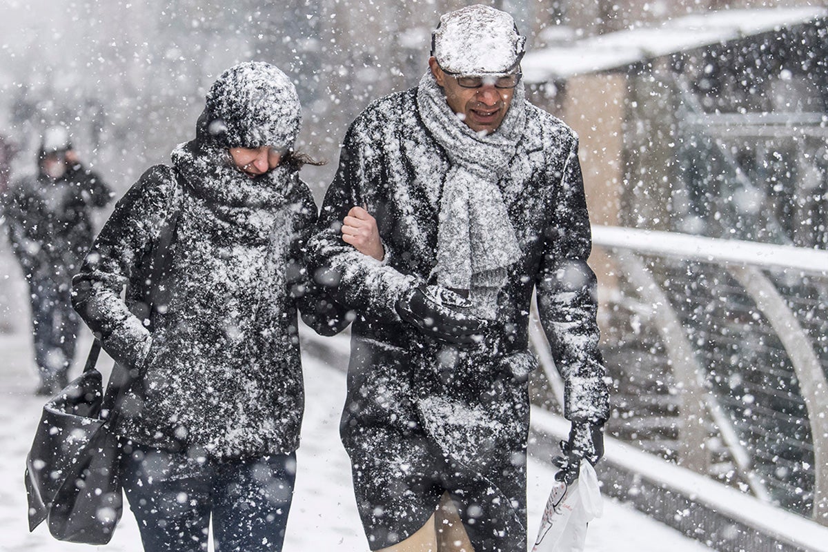
Warning UK faces ‘sudden’ weather event that previously led to ‘Beast from the East’
Met Office said there’s a high chance of Sudden Stratospheric Warming which could impact weather within weeks
Your support helps us to tell the story
From reproductive rights to climate change to Big Tech, The Independent is on the ground when the story is developing. Whether it's investigating the financials of Elon Musk's pro-Trump PAC or producing our latest documentary, 'The A Word', which shines a light on the American women fighting for reproductive rights, we know how important it is to parse out the facts from the messaging.
At such a critical moment in US history, we need reporters on the ground. Your donation allows us to keep sending journalists to speak to both sides of the story.
The Independent is trusted by Americans across the entire political spectrum. And unlike many other quality news outlets, we choose not to lock Americans out of our reporting and analysis with paywalls. We believe quality journalism should be available to everyone, paid for by those who can afford it.
Your support makes all the difference.The Met Office has warned of a new ‘stratospheric event’ that previously led to the 2018’s Beast from the East snowstorm.
Despite the name, Sudden Stratospheric Warming (SSW) can cause very cold conditions similar to five years ago, when the UK saw up to 22 inches of snowfall.
An SSW refers to a sudden warming up in the stratosphere, up to about 50 °C in a couple of days, between six and 30 miles above the earth’s surface. It is so high up that we do not feel it but it has a knock-on effect to the jet stream, which in turn effects weather lower down.

The Met Office said there is an 80% chance of a major SSW occurring, and this will likely impact our weather at the end of February or the start of March.
But while SSWs can lead tp dramatic weather changes the forecaster stressed an SSW can occur and have no impact on conditions at all.
For instance, an SSW in 2019 barely had any effect on weather in the UK.
The most likely scenario according to the Met Office’s long-range forecast is for mid-February to be characterised by quite changeable weather with “influxes of wind and rain at times”, especially in the north west.
Temperatures are expected to be around average for this time of year.
Prof Adam Scaife, head of long-range forecasting at the Met Office, said: “There is now over 80% chance of a major SSW occurring.
“Although the impact will become clearer nearer the time, any effect on UK weather is most likely to occur in late February and March.”

A statement from the Met Office said: “A major SSW often makes the jet stream meander more, which can lead to a large area of blocking high pressure over northern Europe, including the UK.
“This blocking high pressure can lead to cold, dry weather in the north of Europe, including the UK, with mild, wet and windy conditions more likely for southern areas of the continent.
“However, this is not always the case and impacts on UK weather can also be benign when an SSW occurs.”
Describing an SSW in more detail, the Met Office said: “The stratospheric sudden warming can sometimes cause the jet stream to ‘snake’ more, and this tends to create a large area of blocking high pressure. Typically this will form over the North Atlantic and Scandinavia.
“This means that northern Europe, including the UK is likely to get a long spell of dry, cold weather, whereas southern Europe will tend to be more mild, wet and windy.
“On the boundary of these areas, cold easterly winds develop and in some cases the drop in temperatures leads to snow, which is what happened in early 2018.”

Looking at the Met Office’s long-range forecast from 12 to 21 February, Sunday and Monday will be “mostly dry” except for parts of the north and northwest, which are expected to be quite damp with some light rain and drizzle.
A spokesperson said: “Over the following few days, probably a gradual transition to more generally changeable conditions, meaning a greater chance of some rain at times in the south and east compared to earlier in February.
“The north and northwest will likely be most unsettled, with often strong winds accompanying periods of rain, which will be heavy at times. Temperatures overall will be relatively mild, with any frost mostly likely across southern areas earlier in the period.”


Join our commenting forum
Join thought-provoking conversations, follow other Independent readers and see their replies
Comments