Met Office upgrades Storm Antoni warning and issues rare danger to life alert
‘Danger to life’ warning in place from 11am to 7pm on Saturday as travel disruption expected

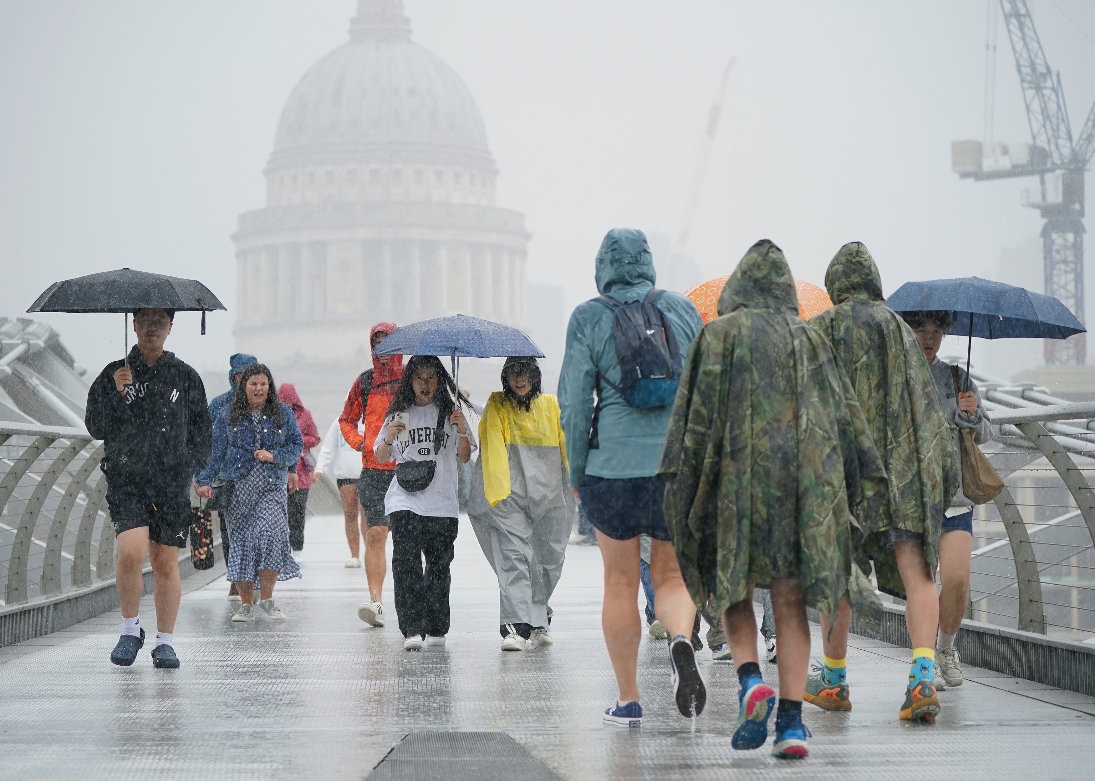
The Met Office has upgraded two weather warnings for wind to amber as “unseasonably” strong gusts upto 70mph hurtle towards parts of the UK.
The “danger to life” warning comes as the low-pressure weather system moves in from the Atlantic Ocean, meteorologists said, unleashing Storm Antoni across Britain.
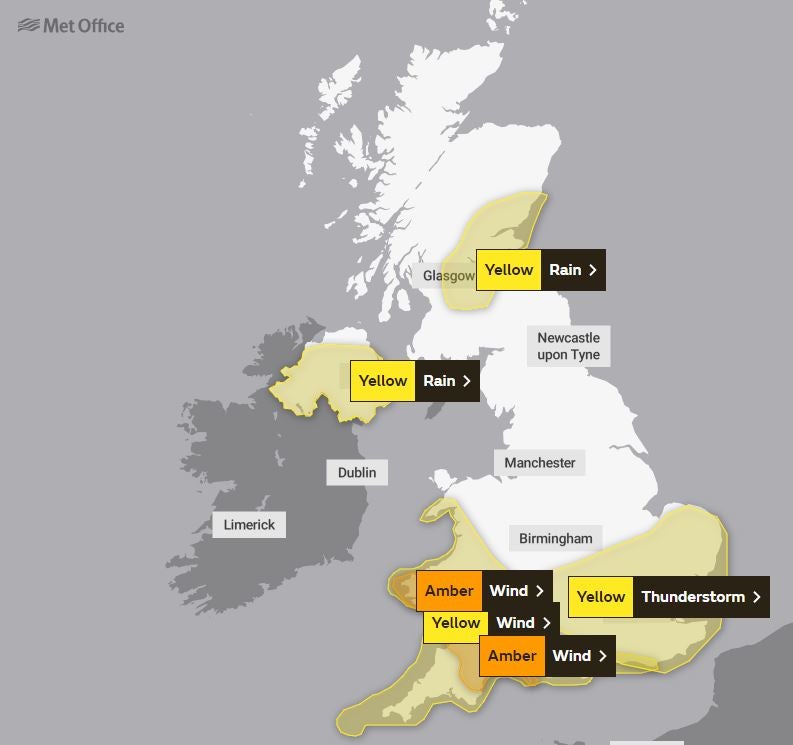
An amber warning for wind is in place from 11am to 7pm for Devon, Somerset, Dorset and Torbay, and Carmarthenshire, Pembrokeshire and Swansea.

Strong northwesterly winds are likely to peak during the middle of the day in southwest Wales, and through the afternoon in southwest England, before easing during the evening.
Gusts of 40-50 mph are expected widely even inland, with a few spots peaking around 60 mph, while exposed coastal areas and hills could see gusts around 70 mph, the Met Office said.
The Met Office warned “flying debris is possible and could lead to injuries or danger to life”.
Damage to buildings and power cuts are also likely, with a high chance of travel disruption as longer journey times and cancellations are to be expected.
The RAC warned of “atrocious” conditions for drivers on what will be “the worst day on the roads of the summer so far”, as it urged motorists to avoid exposed routes until the storm passes.

Two yellow warnings for wind and rain are also in place for large swathes of England, Wales, and Northern Ireland.
The storm comes just four weeks before the season is due to end. In February and April, the names Otto and Noa – chosen by overseas weather agencies – were adopted by the Met Office as those storms hit the UK.
Road, rail, air and ferry services could be affected by the winds, with longer journey times and cancellations possible along with road and bridge closures, the Met Office said, warning that “injuries and danger to life could occur from large waves and beach material being thrown onto sea fronts, coastal roads and properties”.
Power cuts may also occur, with the potential to affect other services such as mobile phone coverage, forecasters said.
Join our commenting forum
Join thought-provoking conversations, follow other Independent readers and see their replies
Comments


Bookmark popover
Removed from bookmarks