Met Office gives verdict on ‘snow bomb’ forecast and claims of a ‘big freeze’
A level three Cold Weather Action alert for icy conditions is in place until the end of this weekend
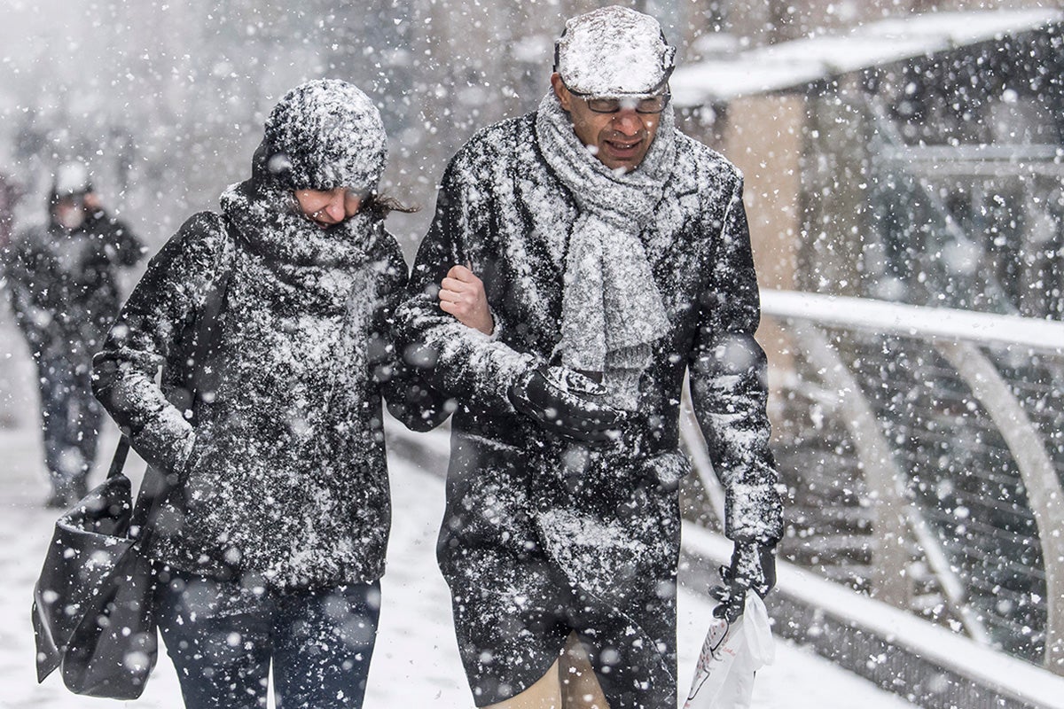
Freezing fog and subzero temperatures continue to blanket the UK in severe cold weather this winter.
Speculation over a winter appearance from the chaotic ‘Beast from the East’ weather pattern has been mooted by analysts from the Met Office.
Current forecasts have indicated widespread freezing fog is set to continue until next week, however temperatures are expected to return to their seasonal averages.
Frost is also expected across the UK with “some periods of prolonged rainfall or heavier showers to the north,” the Met Office have said.
However speculation over a sudden stratospheric warming phenomenon for early February has been raised as a possibility.
Alex Deakin, meteorologist from the Met Office has forecast milder air slowly and gradually approaching from the west, with some above-average temperatures expected to take hold by the weekend.
High pressure is expected to remain in control for beyond the weekend, reducing the potential of heavy rain and wintry showers.
But Mr Deakin indicated that there was still “a possibility” of the stratospheric warming phenomenon affecting our weather for the beginning of February.
The computer models from both European and American meteorological forecasters have shown some projections of the polar vortex shifting and hitting the UK, however the chances of this are still slim.

The UK Health Security Agency has extended its level three Cold Weather Action warning until the end of Sunday, with the severe cold and icy conditions expected to affect health conditions and increased risk of harm.
The warning issued advises: “Look out for friends and family who may be vulnerable to the cold, and ensure they have access to warm food and drinks and are managing to heat their homes adequately.
“Try to maintain indoor temperatures to at least 18°C, particularly if you are not mobile, have a long-term illness or are 65 or over.
“Avoid exposing yourself to cold or icy outdoor conditions if you are at a higher risk of cold-related illness or falls.”
Motorists and pet owners have been advised to take extra care through the colder weather.

Nicola Maxey, spokesperson from the Met Office, said: ““There’s a consistent signal for some further rain and wind through late January and into February.
“The current forecast for early February shows high pressure likely near southern areas of the UK, bringing more settled conditions to the south but with more unsettled weather more prevalent further north.
The Met Office temperature forecast for February has said: “Temperatures are expected to be generally at or slightly above average, although a brief colder spell remains possible.”
Responding to the speculation over the potential for sudden stratospheric warming, Ms Maxey said: “The Met Office runs several models many times, instead of just once, from very slightly different starting conditions.
“The range of different outcomes gives us a measure of how confident or uncertain we should be in the overall forecast. This is called ensemble forecasting.
“At this point in time I have no indication of wide spread snow in the forecast but this does not mean we will not see any snow at all, particularly over higher ground in the north.
“We will have to wait until closer to the time period for such details.”
Join our commenting forum
Join thought-provoking conversations, follow other Independent readers and see their replies
Comments


Bookmark popover
Removed from bookmarks