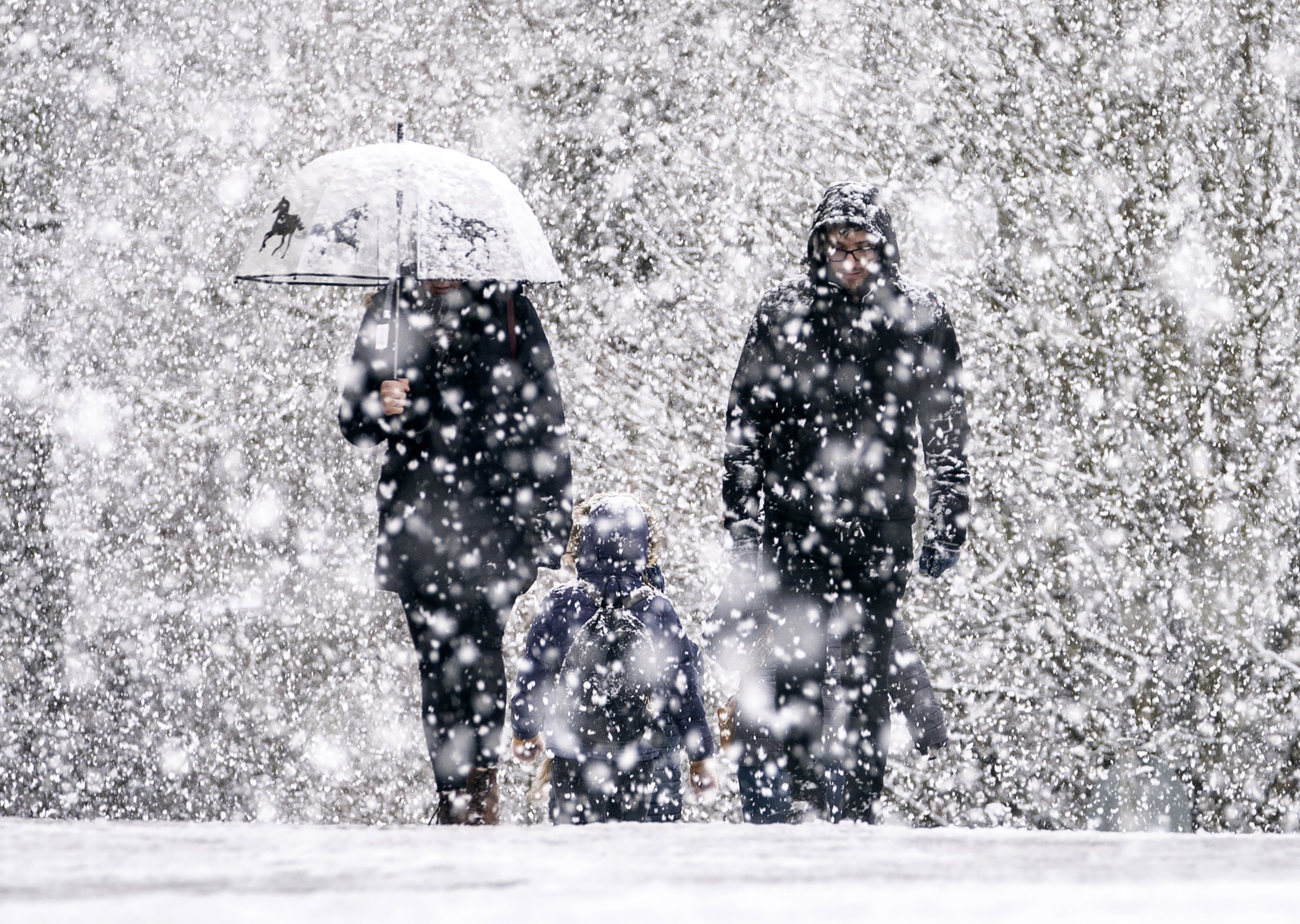
Blizzard to hit UK this weekend as cold snap continues
Drivers urged to take caution as strong winds of up to 50mph whip Britain on Sunday
A blizzard is set to sweep parts of the UK this weekend as weather forecasters warn of rare “freezing rain”.
Britain’s cold snap is set to continue with snow and sleet expected on Sunday, particularly across the north of England and in Scotland.
Strong winds of up to 50mph are also predicted for Sunday as milder air meets the cold front, leading to a “transient spell of snow”.

Met Office deputy chief forecaster, Helen Caughey, said: “Add to this the risk of rain falling onto frozen surfaces, and strong winds over upland areas of northern Britain, bringing blizzard conditions, and this could be a day to avoid travelling in some areas, although the snow should turn to rain later.
“There is also a brief risk of a period of freezing rain, most likely to impact areas from the Pennines northwards, which could result in some power interruptions.”

Freezing rain is a rare type of rain that strikes cold surfaces and freezes almost instantly, according to the weather service.
The phenomenon is not seen often in the UK, but has a striking appearance as it encases what it falls upon in a layer of clear ice.

As far as next week goes, unsettled weather will continue, though temperatures are expected to rise to the double digits on Monday.
“Strong winds could prove disruptive at times, especially through the first half of the week and there is the possibility of some persistent rain for parts of the southwest.

“Although not as cold as we are currently experiencing, we could potentially see a return of some wintery hazards at times, mainly across higher ground in the north, but there is still a lot of uncertainty in how prolonged this might be and what associated hazards it might bring.
“The unsettled picture for next week means, that although Christmas is just a week away, it is still not possible to say with any certainty if we will have a white Christmas Day or not.”
A Level 3 Cold Weather Alert has been issued by the UK Health Security Agency (UKHSA) covering all of England and is currently in place until midnight on Sunday 18 December.
MET OFFICE OUTLOOK
Saturday:
Further showery rain affecting northern and western parts, sleet on hills. Sunny spells in the south and east. Temperatures recovering slightly but still feeling cold, with widespread frost Saturday night.
Outlook for Sunday to Tuesday:
Rain, accompanied by strong winds, and preceded by snow and some icy conditions, moving northeast through Sunday, with milder conditions following. Remaining unsettled into the next week.
Join our commenting forum
Join thought-provoking conversations, follow other Independent readers and see their replies
Comments


Bookmark popover
Removed from bookmarks