The best Ireland road trips to discover the Emerald Isle
Here’s how to see the island’s most scenic wonders
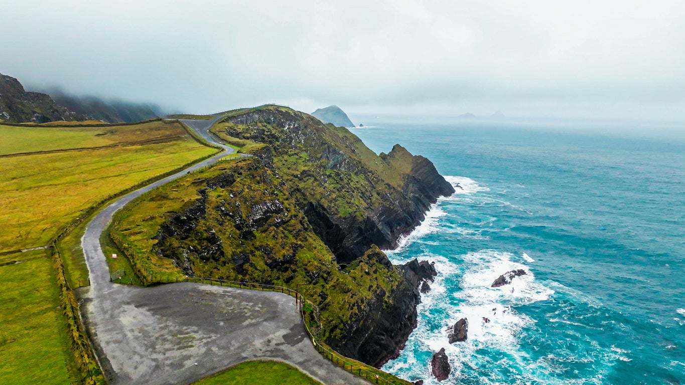
A land of rugged natural beauty, charming villages and miles of coast and countryside, the island of Ireland, split into the separate Republic and Northern Ireland, offers plenty of terrain to explore.
Just a short flight or ferry from the UK mainland, Ireland isn’t short of tourist attractions, from Blarney Castle to the Giant’s Causeway, alongside the capitals of Dublin and Belfast – both of which offer a distinct flavour of city break.
With a wealth of rural terrain, the Emerald Isle’s most appealing landscapes are often most easily accessed by car. Luckily, a robust network of roads help make exploration of the island’s verdant interiors and dramatic coastlines both simple and enjoyable, from the thousand miles of the Wild Atlantic Way to the isle’s little-known rural boreens.
So, whether you prefer the rolling hills of the Irish countryside, the plunging cliffs of its coast or the vibrant atmosphere of the cities, there’s an Irish road trip to suit. Below, we’ve rounded up a list of some of the best.
Wild Atlantic Way
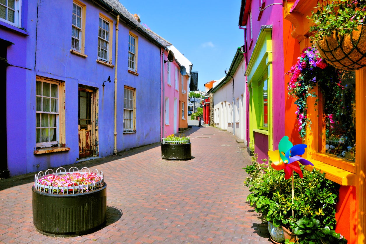
This 1,600-mile route is Ireland’s most famous road trip, taking in coastal scenery, natural landmarks and cities and towns including Galway and Donegal. It starts in the Inishowen Peninsula in the north, running south until it finishes in Kinsale, a quaint, southern, coastal town with colourful streets. It is divided into 14 stages, lasting anywhere from roughly 90 miles to almost 150.
Highlights along the Way include the Slieve League cliffs and the Cliffs of Moher, the rock formations of Downpatrick Head and towns including Kinsale. You’ll come across dozens of stunning beaches, from Keem’s Bay to Dunmoran, while also seeing miles of coastline and sections of cliffs including the stretch along the Atlantic Drive.
The Ring of Kerry
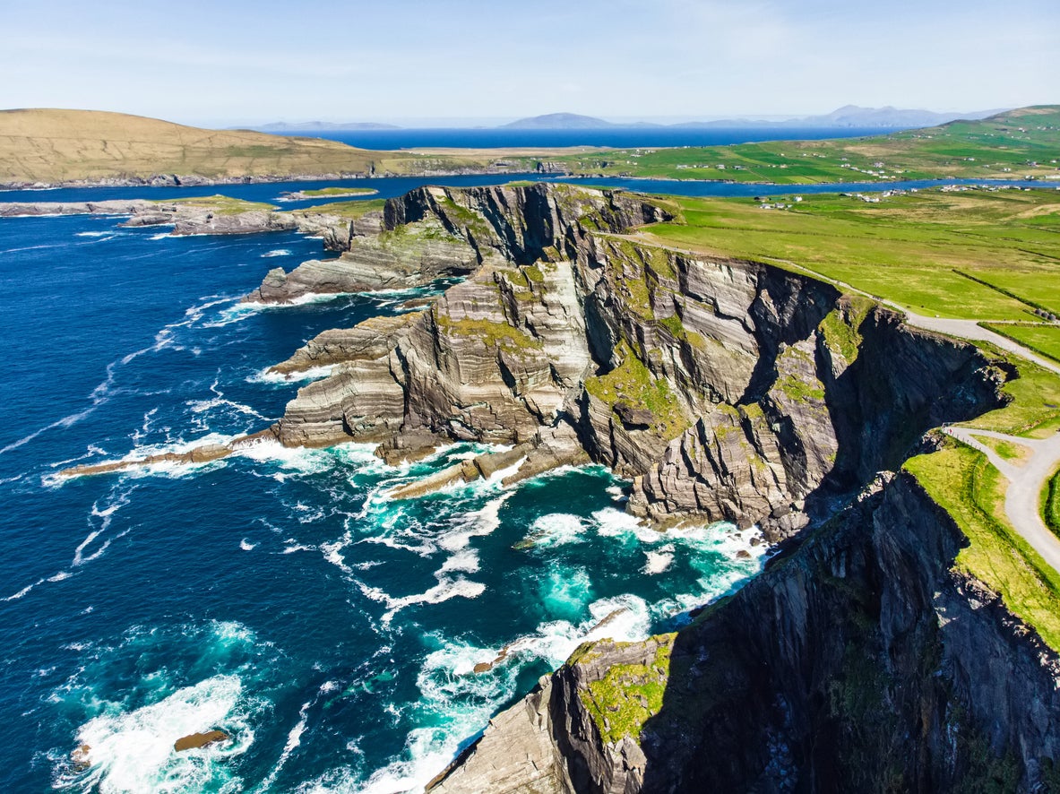
This loop is located on the Iveragh Peninsula and starts and ends in Killarney. It takes in some of Ireland’s most beautiful mountainous and countryside scenery, as well as lakes such as Lough Leane. Natural sites such as the Gap of Dunloe, Rossbeigh Beach, Moll’s Gap and the island of Skellig Michael await you on the 111-mile tour, as well as the Killarney National Park.
Unmissable highlights include the Kerry Cliffs and Carrauntoohil, the highest mountain in Ireland (standing at 1,038m).
Read more on Ireland travel:
The Copper Coast (extended)
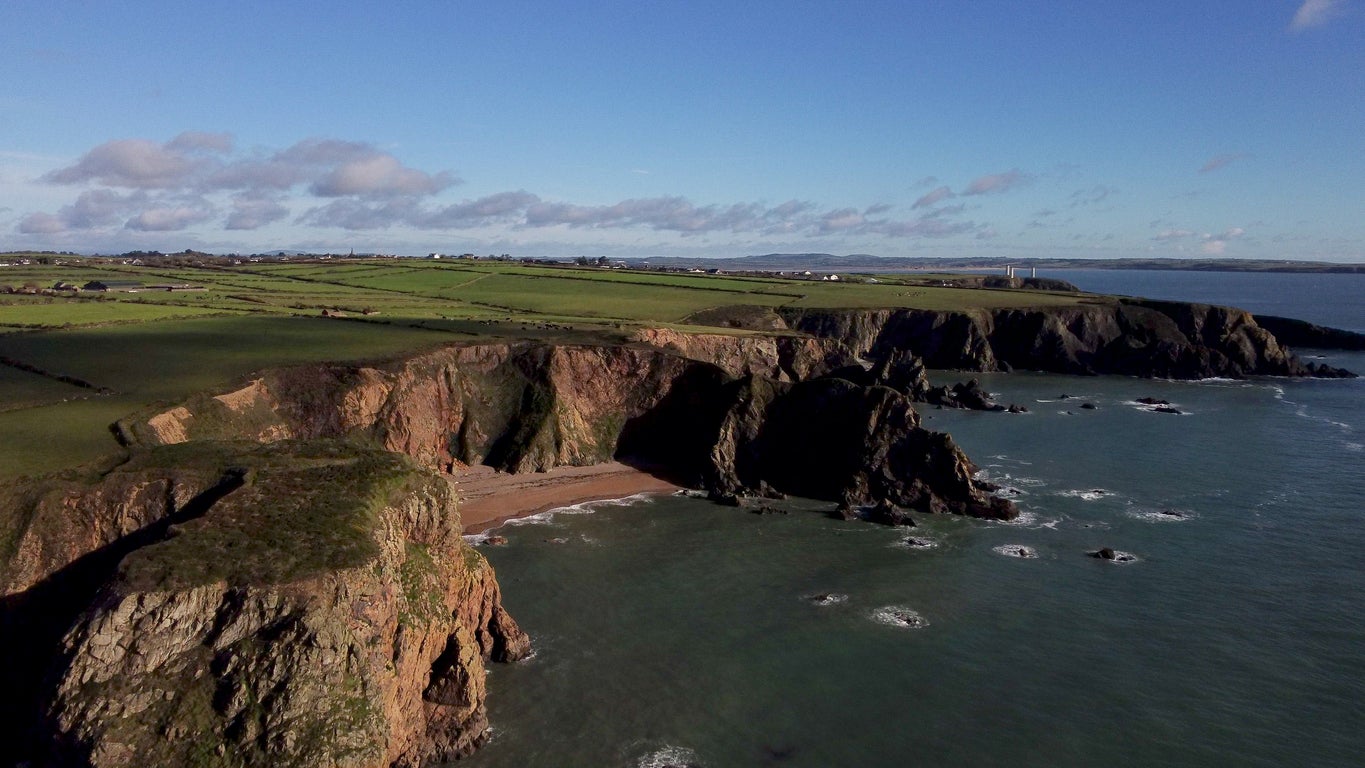
While most variations of this route only cover the 25 miles between Tramore and Dungarvan, it can be extended further into Kilmore Quay before finally arriving at Wexford, making it roughly 100 miles long. Starting in Dungarvan, the first leg of the route takes in the entirety of the Copper Coast European GeoPark, a Unesco-listed area of international geological significance.
The coast is the attraction here, with stretches of rugged cliffs, rocky coves, sandy bays and blue waters interrupted by picturesque villages and structures ranging from abbeys and castles to lighthouses. Arriving in Wexford, you’ll be greeted with medieval walls, winding lanes and sites such as the Wexford Town heritage trail and Irish National Heritage Park.
Belfast to Derry
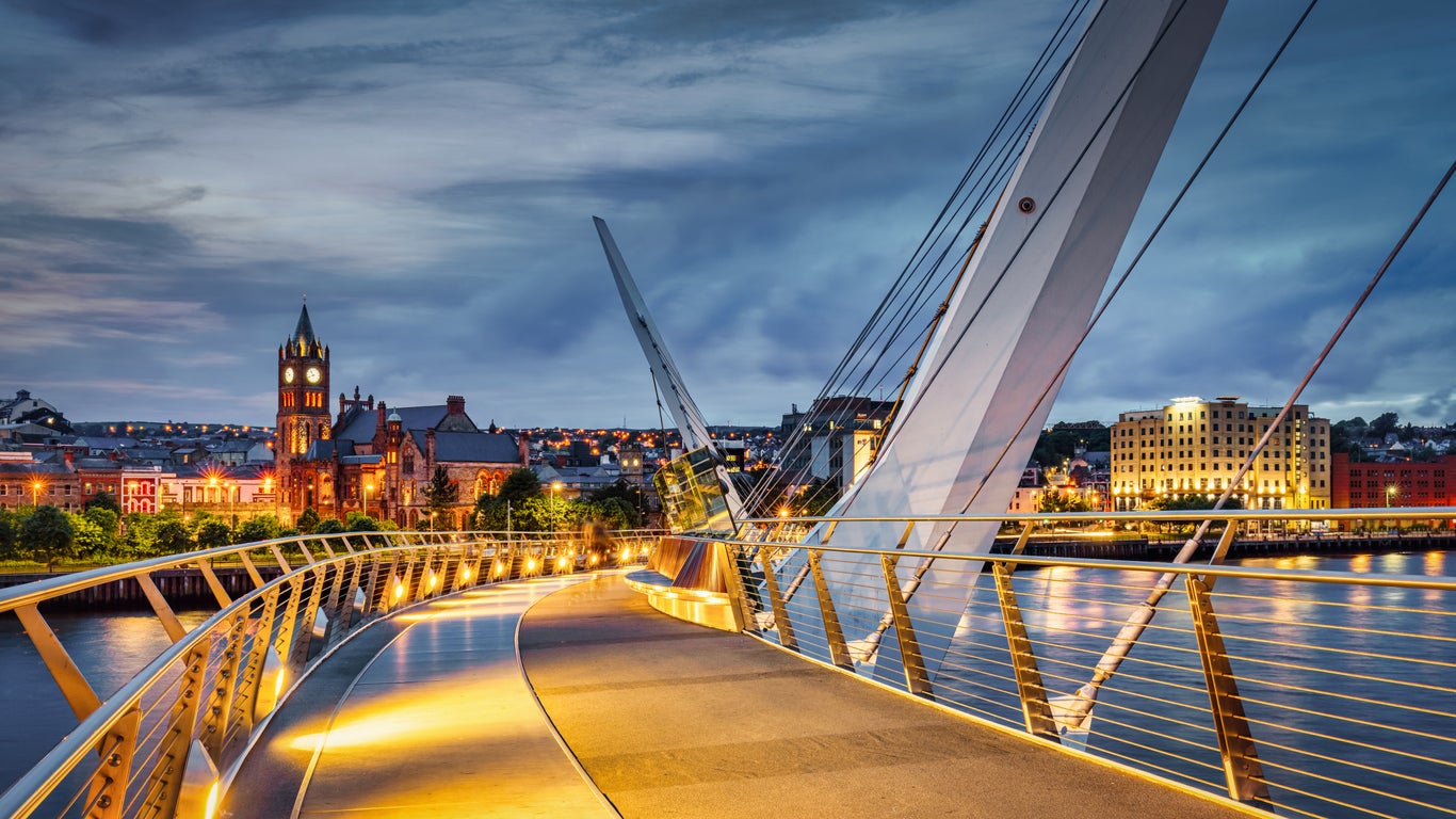
Moving into Northern Ireland, this route starts in the capital before heading north to the coast, near Ballycastle (and its excellent beach) and eventually moving to Derry via the Causeway Coast. From Belfast, you’ll head northwest to Antrim and then north through Ballymena until you reach Ballintoy Harbour and the Carrick-a-Rede rope bridge on the coast. From there, drive west to Whitepark Bay Beach and then near Dunseverick Castle (with the option of a slight detour to visit the Giant’s Causeway).
After potentially enjoying one of the isle’s main tourist sites, you carry on southwest to Coleriaine followed by Limavady, through part of the Binevenagh Area of Outstanding Natural Beauty, before finally reaching Derry. Having covered just over 100 miles, you can take time to enjoy the second-largest city in Northern Ireland; sites including the Peace Bridge, St Columbs’ Cathedral and the city’s 400-year-old walls.
The Burren Loop
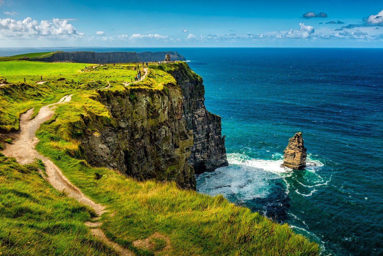
A 93-mile figure of eight loop, the Burren Loop is short enough to complete in a day, though with plenty to see and trails to walk, you may want to stay for an evening in Ballyvaughan or the colourful town of Lisdoonvarna. The rocky Burren region is a barren limestone area that is itself a Unesco World Heritage Site, noted for its karst landscape covering almost 100 square miles. This drive leads you through narrow roads onto scenic coast including the Cliffs of Moher Unesco GeoPark, famed for its mix of Atlantic, Alpine and Mediterranean plants.
The main attraction on this roadtrip is the Cliffs of Moher themselves; almost nine miles of towering limestone cliffs that are also home to a cliff walk. For another great view, take a boat from Doolin to see them from the water below.
The Causeway Coast
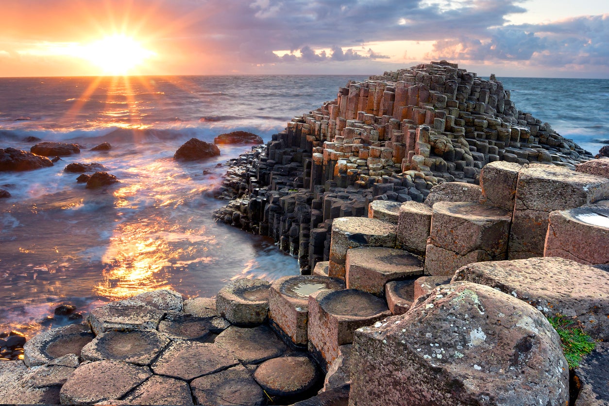
A 130-mile route between Belfast and Derry, this route takes in more of the coast (and its great sights) than the shorter journey from the Northern Irish capital mentioned above. As you come to the coast, you’ll see the Carrick-a-Rede bridge, the Glens of Antrim and the Cushendun Caves, before arriving at the Giant’s Causeway. After visiting the famous 60-million-year-old basalt columns, you’ll eventually come to Derry and its medieval walls.
Other notable stops on the route include some of Ireland’s best beaches (Benone and Portrush Whiterocks), national landmarks (including Mussenden Temple and Magilligan Point) and towns such as Portstewart and Limavady.
Ireland’s Four Peaks
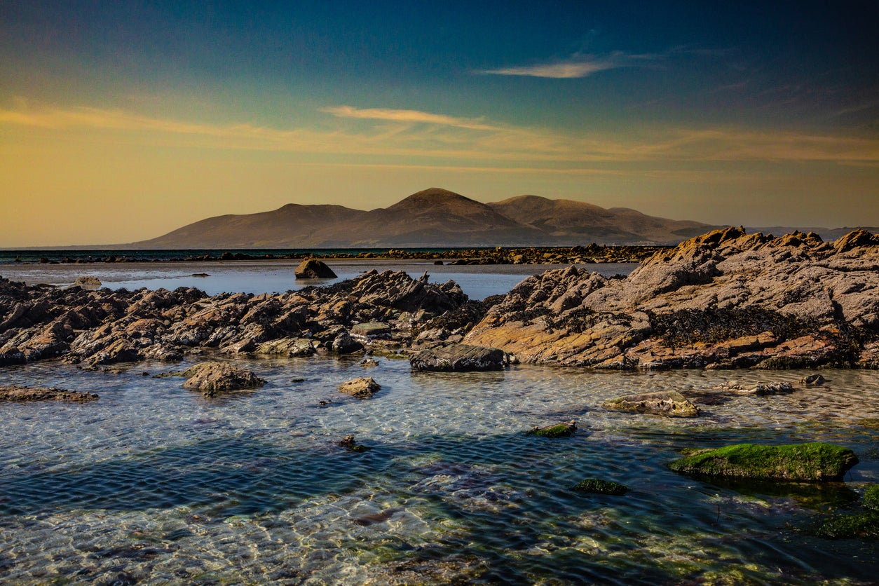
Covering the highest peaks in each province of Ireland and Northern Ireland, this route is usually driven as part of the isle’s ‘Four Peaks Challenge’, but can be enjoyed equally as a 540-mile scenic roadtrip (whether or not you want to attempt climbing all four peaks). This ‘H-shape’ route crosses the central length of the island; there’s no set starting point, though if coming from the UK mainland it may make sense to start at Slieve Donard or Lugnaquilla. From Lugnaquilla, you head north past Dublin to Slieve Donard before turning back on yourself and beginning the five-hour journey to Mweelrea.
The final leg of the route takes you back on yourself down to Galway, before heading south, first to Limerick and then finally to Carrauntoohill. While the peaks offer sweeping views of the surrounding areas, even if you don’t take on the climbs you’ll still be able to enjoy some of the finest Irish countryside and cities, from the bays and mountains of the Connemara National Park to the limestone landscape of the Burren and the charming cobbled centre of Galway.
Irish City Tour
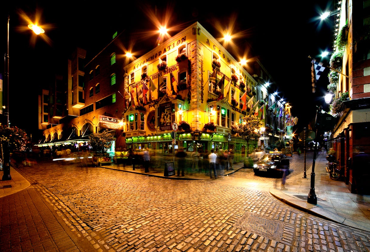
While not an ‘official’ route, the layout of cities across the isle lends itself to a longer route exploring the best of both countries. The looping route can start from Belfast or Dublin (likely depending on which ferry port or airport you arrive into) and is anywhere from 600 miles long; extra stops can be added, for example extending on to Bangor after Belfast. If starting in Belfast, head to Derry – a portion of the Causeway Coast is optional – before crossing into the Republic of Ireland via Letterkenny and heading southwest to Donegal Town. Continue south, first to Galway and then to Limerick and Cork (days or nights spent in each are optional), before starting the final leg of the loop and driving on to Dublin. Close to ‘home’, you can drive straight to Belfast or stop in Lisburn or Bangor before the end of your all-encompassing route.
Red our reviews of the best Ireland hotels
Join our commenting forum
Join thought-provoking conversations, follow other Independent readers and see their replies
Comments
Bookmark popover
Removed from bookmarks