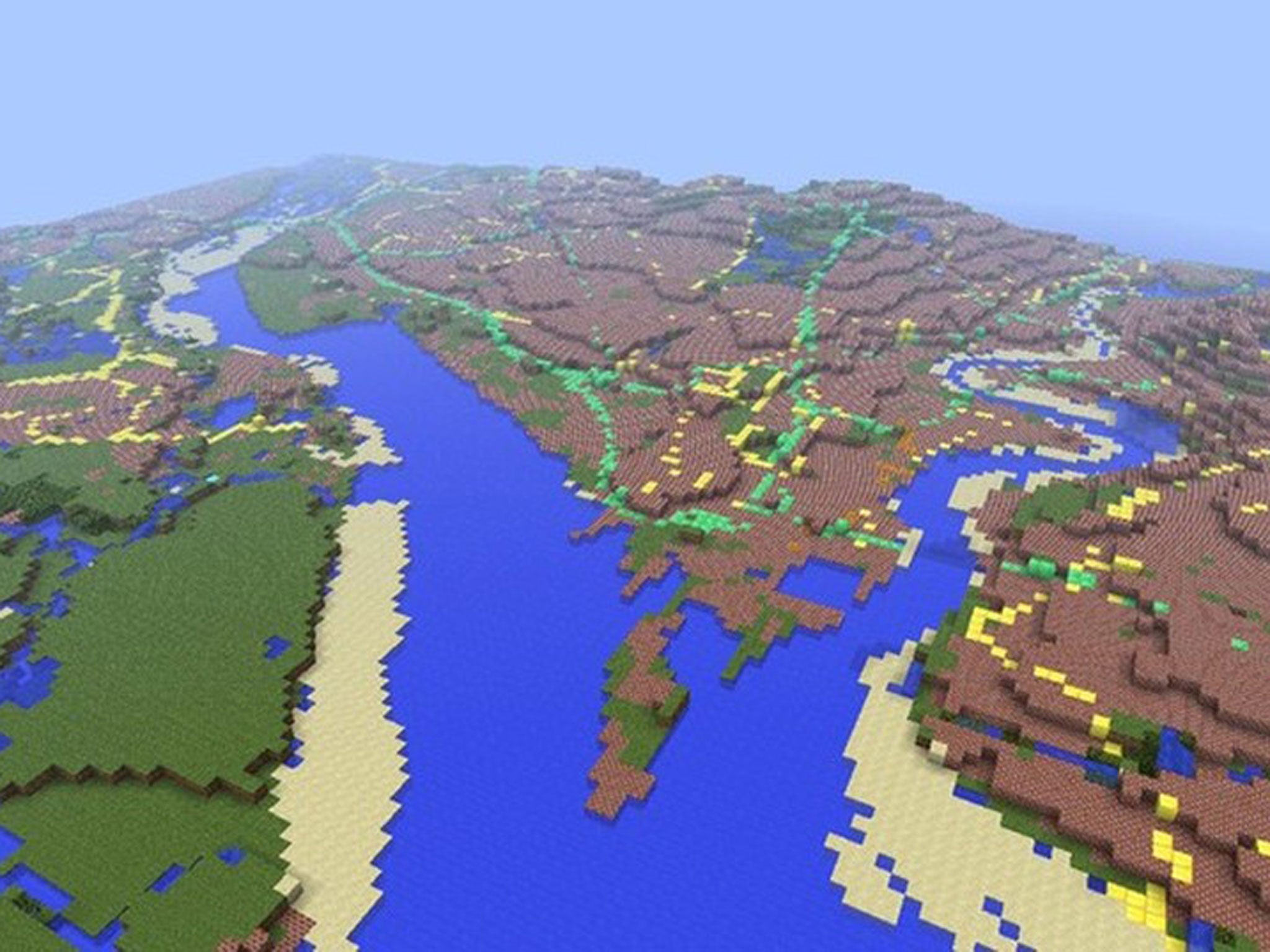
Ordnance Survey recreates 220,000 square miles of Great Britain in Minecraft
A summer intern from the mapping agency used open source data to create the 22 billion block model

Your support helps us to tell the story
From reproductive rights to climate change to Big Tech, The Independent is on the ground when the story is developing. Whether it's investigating the financials of Elon Musk's pro-Trump PAC or producing our latest documentary, 'The A Word', which shines a light on the American women fighting for reproductive rights, we know how important it is to parse out the facts from the messaging.
At such a critical moment in US history, we need reporters on the ground. Your donation allows us to keep sending journalists to speak to both sides of the story.
The Independent is trusted by Americans across the entire political spectrum. And unlike many other quality news outlets, we choose not to lock Americans out of our reporting and analysis with paywalls. We believe quality journalism should be available to everyone, paid for by those who can afford it.
Your support makes all the difference.Minecraft has played host to a number of inventive and fabulous creations - from reproductions of the fantasy world of Westeros to fully working calculators built from in-game mechanisms - but these might be topped by a 22 billion block model of Great Britain sanctioned by none other than the Ordnance Survey team.
The map is the work of a summer intern, Joseph Braybrook, who used the Ordnance Survey’s OS OpenData project to create the map.
Covering more than 220,000 square kilometres of Great Britain and the surrounding islands (neither Northern Ireland nor the Channel Islands were included as they are mapped by different authorities).
“Each block represents a ground area of 50 square metres,” says the OS team on their blog. “The raw height data is stored in metres and must be scaled down to fit within the 256 block height limit in Minecraft.”
“A maximum height of 2 500 metres was chosen, which means Ben Nevis, appears just over 128 blocks high. Although this exaggerates the real-world height, it preserves low-lying coastal features such as Bournemouth's cliffs, adding interest to the landscape.”
Different materials found within Minecraft’s game engine are used to represent different features from OS map. Blocks of diamond trace motorways; emerald is used for A roads and pumpkin for B roads, whilst brick cubes represent built-up areas.
The map doesn’t contain any landmarks yet though it seems - this being Minecraft – that fans are already beginning to populate the map with monuments and buildings.
If you fancy a walk around Great Britain without moving from your chair you can download the map from the Ordnance Survey’s website (though it does require a copy of Minecraft to play).
Join our commenting forum
Join thought-provoking conversations, follow other Independent readers and see their replies
Comments