Ordnance Survey joins the digital age with an app to take walkers from A-Z
Ordnance Survey is belatedly embracing the digital age with an app to accompany its paper products. But in this age of satnavs and Google Maps, is it joining the party too late? Simon Usborne charts its progress

Your support helps us to tell the story
From reproductive rights to climate change to Big Tech, The Independent is on the ground when the story is developing. Whether it's investigating the financials of Elon Musk's pro-Trump PAC or producing our latest documentary, 'The A Word', which shines a light on the American women fighting for reproductive rights, we know how important it is to parse out the facts from the messaging.
At such a critical moment in US history, we need reporters on the ground. Your donation allows us to keep sending journalists to speak to both sides of the story.
The Independent is trusted by Americans across the entire political spectrum. And unlike many other quality news outlets, we choose not to lock Americans out of our reporting and analysis with paywalls. We believe quality journalism should be available to everyone, paid for by those who can afford it.
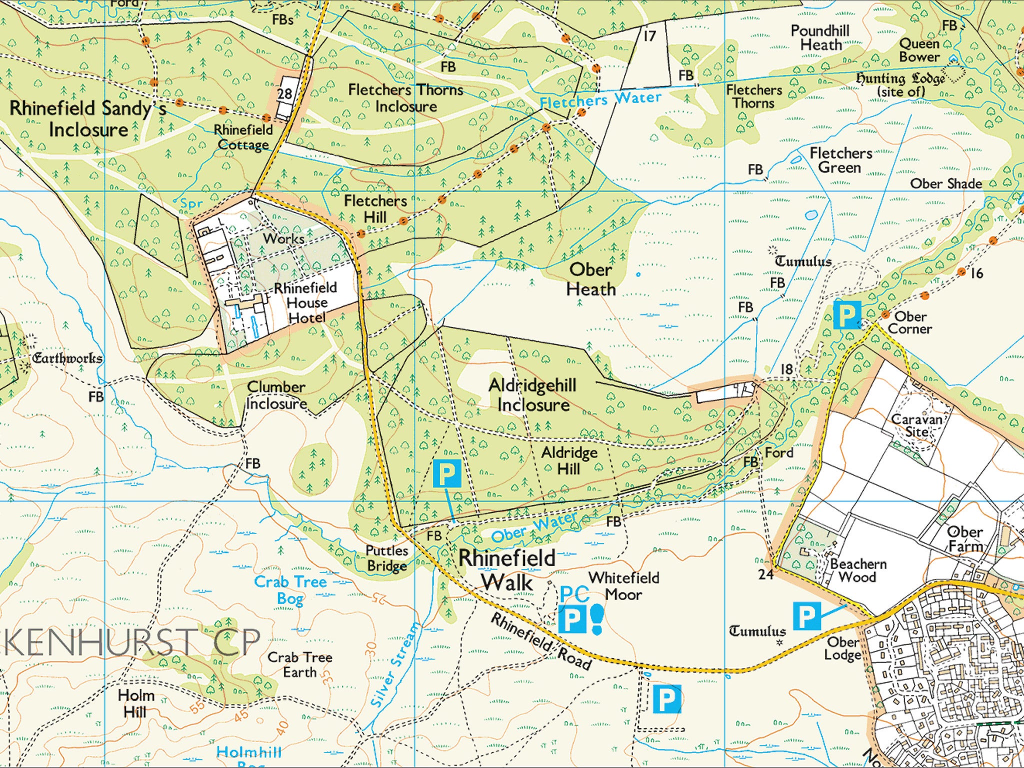
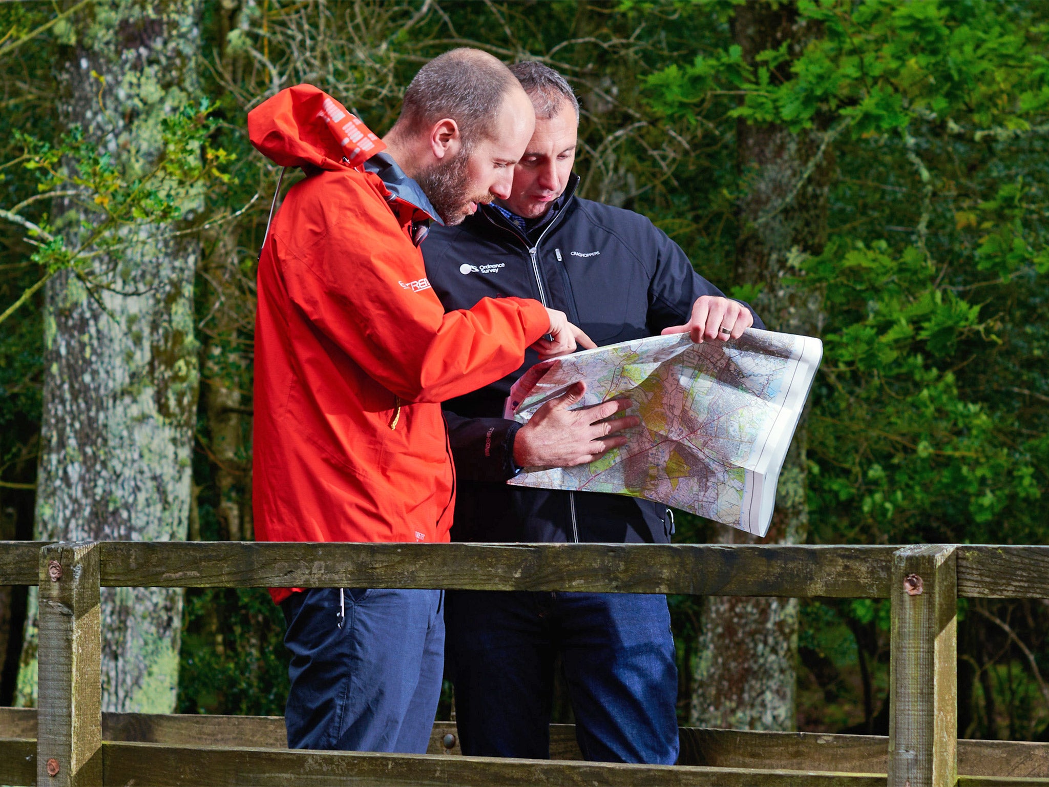
Your support makes all the difference.It is hardly the remotest corner of the New Forest – we have walked only a mile or so from the car park – but a wicked wind whips across Whitefield Moor, an expanse of green that, Ordnance Survey (OS) map symbols confirm, is a mixture of "scrub" and "bracken, heath or rough grassland". At least the map would confirm that, but in the hands of Nick Giles, the giant sail of paper flaps and flails like a rising spinnaker.
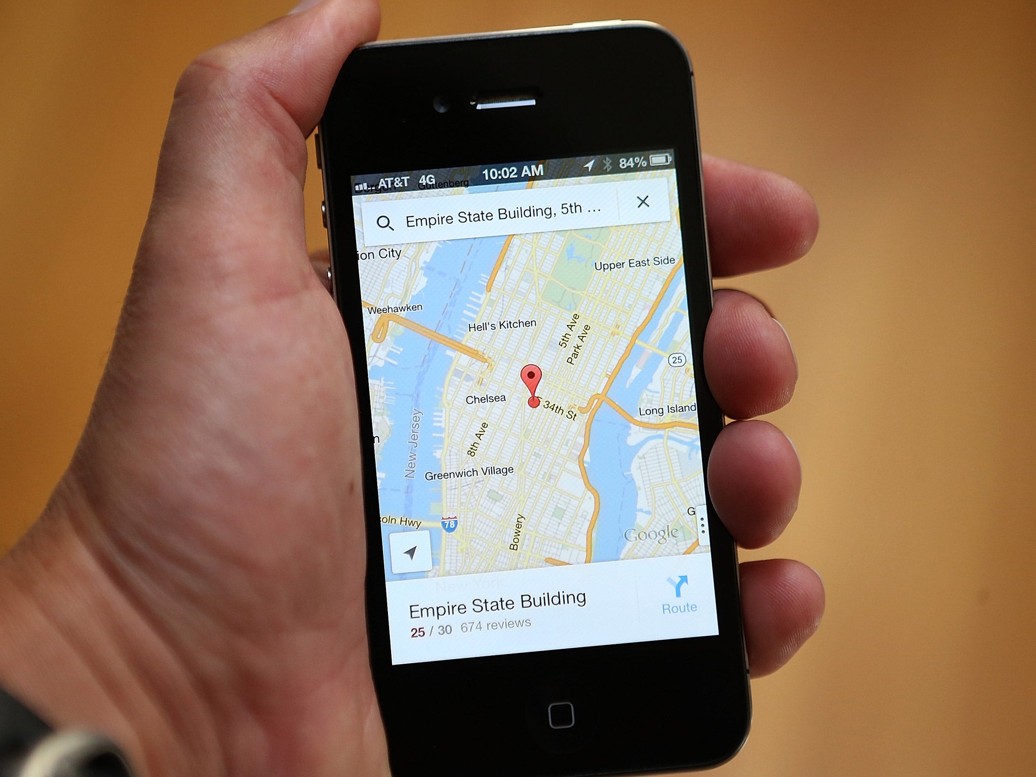
"Shall we look at the phone instead?" Giles shouts, valiantly trying to fold up the crisp new Explorer OL22, the map covering the New Forest national park on the south coast. He could turn on Google Maps, the go-to guide for millions of us, but it shows only a uniform green between the roads. Instead he fires up OS's brand new app, which marks a belated but giant leap into the digital era for a national agency born almost 225 years ago.
Giles is OS's head of leisure, and is responsible for its 607 paper maps that chart Britain's every bridleway, contour and CG (cattle grid), as well as its – until now – relatively limited digital offering. "The maps themselves haven't changed significantly for some time because they are so loved," he says on an FB (footbridge) in some woods (coniferous and non-coniferous) out of the wind. "But by offering mobile downloads and bringing digital products together with paper, this is certainly the biggest change in our mapping for at least 20 years."
The new app, OS Maps, is free to download but, by entering a code printed inside the new range of traditional maps being released from this week, users can access the same imagery on a phone or desktop computer. And wind resistance is just one of the added benefits. By touching points on the map, Giles has plotted a course for today in advance, revealing its ups and downs and an estimated time for walking. As we move, the map shows our position and progress. Routes can be recorded, too, and shared.
Most intriguing is the getamap function, which allows a holidaymaker, say, unfamiliar with his or her surroundings, to discover and download routes recorded by local walkers, or which feature in The Good Pub Guide, or Country Walking and Trail magazines. The app will guide you to the start of the route, and track your progress along it. It's a slick package that combines the glorious detail of Ordnance Survey with the best features of Google Maps and Strava, the fitness app that has revolutionised route recording, creating and finding for runners and cyclists.
At the risk of sounding like I'm on commission here (I'm not, of course), the app is designed for someone like me. My father had a healthy collection of OS maps stuffed into a desk drawer, and paired them with an unrivalled internal compass (and an actual compass) to drag our family up hill and down dale. Alas, I have inherited few of his navigational skills, but, with age, feel more inclined to reach for my walking boots. With the new app and my phone, to which I'm glued anyway, I could now roam as freely and easily as Dad did.
"People who buy our maps tend to be what we call leaders," says Giles, who grew up in Portsmouth and used to make dens in the forest here as a child, when maps were the last thing he wanted. "They know where they're going and how to use a compass. But we want to open up to a wider market of people who might go for an hour's walk but go half an hour down a path and come back the same way. We want those people to be able to see more of the countryside."

The paper maps are no different, so old-school OS customers won't notice the digital change unless they want to use the code at the front (maps, which now include the cost of the download, will be £1 more expensive, but Giles says the belated price rise was planned anyway). He also suggests having paper as back-up anyway, lest a phone run out of power, or get pinched by a well-connected falcon.
The change is a big notch on the very long OS timeline. It stretches back to the mid-18th century, when rebellions in the Scottish Highlands and war with France made accurate mapping vital for plotting battles and the defences against them. In 1791, the then defence ministry, the Board of Ordnance, began surveying the vulnerable south coast. A tradition was born, and the agency has necessarily been at the forefront of cartographic technology since then. Yet it has arguably failed to communicate that in the modern age to those of who use satnavs and map apps without realising that all the data behind the screen on our TomToms and iPhones comes from the OS HQ, just outside Southampton.
Before my walk with Giles, I get a quick tour of the office, where thousands of sometimes minute adjustments are made to the official map of Britain every day, as roads are laid, extensions built, and trees planted or cut down. Today's mappers wear 3D glasses as they look at OS's aerial photography. Not available for public view, it is startling to look at. On one screen I gaze down on a farmhouse in the Outer Hebrides. The buildings and parked cars leap out of the screen, in resolution that makes Google Earth look like a child's drawing. OS cartographers use this imagery to check that the raw data behind its mapping, which looks more like coloured lines on a black screen, precisely matches the real world.

The raw data powers the paper maps, but OS, which is a government-owned business, also sells it to water companies, local authorities, architects and city planners – anyone who needs to know every detail of the ground beneath our feet. Paper maps now account for just 5 per cent of OS revenues. That figure had been falling but the agency noticed an unexpected, 3 per cent rise in paper sales last year, and a bigger rise since (sales for 2013/14 were £7.7m, and £8.7m the following year). Giles believes that the decline may have settled, before picking up slightly as people begin to buy into the heritage and tradition of the maps. Early demand for the new series, with its paired digital offering, has been strong, he adds.
Regardless of the app, OS paper maps keep up with the times in subtle ways. Typefaces are less ornate these days, even if some of the symbols can look like relics. New symbols are added occasionally, most recently those for mountain-bike trails and boat-charging points in the Norfolk Broads. "We're looking at solar farms now because they're also quite a good navigational aid," Giles says as we follow the route on his phone back to the car. "And we're looking at electric car-charging points and skate parks."
Meanwhile, the arguably slow-to-come digital revolution in its popular image means that OS can preserve the quality of and demand for its paper maps, while going to town with app innovations. "One other thing we're looking at is augmented reality, so you could hold your smartphone camera over your map and it can come to life," Giles says. "It might show you an aerial image or alert you to a nearby tourist attraction, or even make the map jump through your smartphone in 3D. This is only the start of the program, and it's all with the wider purpose of trying to get more people outside."
Join our commenting forum
Join thought-provoking conversations, follow other Independent readers and see their replies
Comments