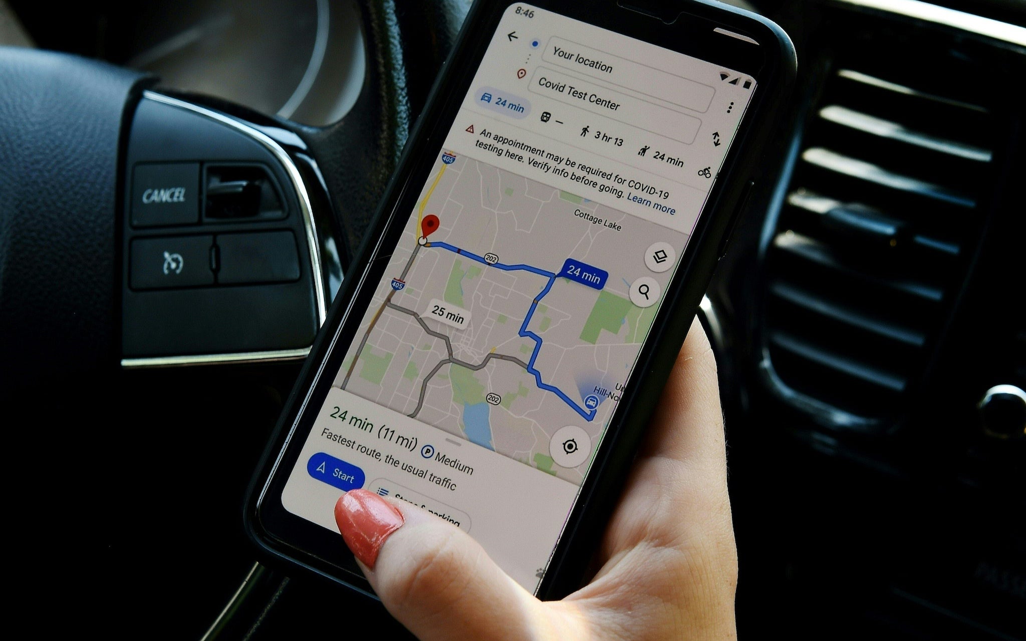
Google Maps update adds a range of information including new ‘Covid layer’

An update to Google Maps has brought a range of features, including a new "Covid layer" for tracking local cases.
Many of the features are aimed at making it easier for people to understand their local area in the midst of lockdowns.
As well as the new layer – which displays all-time cases detected in an area, alongside links to official coronavirus resources – it also adds new tools to see how busy certain transport links are and live takeaway services.
Announcing the new changes, Google said that it had added “250 new features and improvements” to Maps that were aimed at helping users “adapt to this new normal".
Those updates have included information to show how busy a certain location might be. That uses location information from users’ phones to provide live data on how many people might be in a place at any given time.
Google had already added the “Covid layer” to its maps, in an attempt to track the latest trends in the spread of the disease. It has helped almost 10 million people get information, Google claimed.
It will now add extra information so that people can more easily learn about other places, seeing historic cases and local information from official sources.
The “crowdedness” information is intended in much the same way, allowing people to “more easily social distance”, Google said. Like the “busyness” data, that uses real-time feedback from Maps users to create a picture of how busy a certain bus, train or subway line might be.
Google will also add a “Google Assistant driving mode” for Android users in the US. That adds extra information on top of the normal display, allowing users to have their texts read out or chose music without clicking away from the actual map or looking at their phone.
Join our commenting forum
Join thought-provoking conversations, follow other Independent readers and see their replies
Comments
Bookmark popover
Removed from bookmarks