Solomon Islands earthquake: Second quake strikes Pacific islands at magnitude 6.9 a day after huge tremor
Quake comes almost exactly 24 hours after 7.8 magnitude earthquake

Your support helps us to tell the story
From reproductive rights to climate change to Big Tech, The Independent is on the ground when the story is developing. Whether it's investigating the financials of Elon Musk's pro-Trump PAC or producing our latest documentary, 'The A Word', which shines a light on the American women fighting for reproductive rights, we know how important it is to parse out the facts from the messaging.
At such a critical moment in US history, we need reporters on the ground. Your donation allows us to keep sending journalists to speak to both sides of the story.
The Independent is trusted by Americans across the entire political spectrum. And unlike many other quality news outlets, we choose not to lock Americans out of our reporting and analysis with paywalls. We believe quality journalism should be available to everyone, paid for by those who can afford it.
Your support makes all the difference.A 6.9 magnitude earthquake has struck off the coast of the Solomon Islands almost exactly 24 hours after an even larger quake struck the same area of the Pacific.
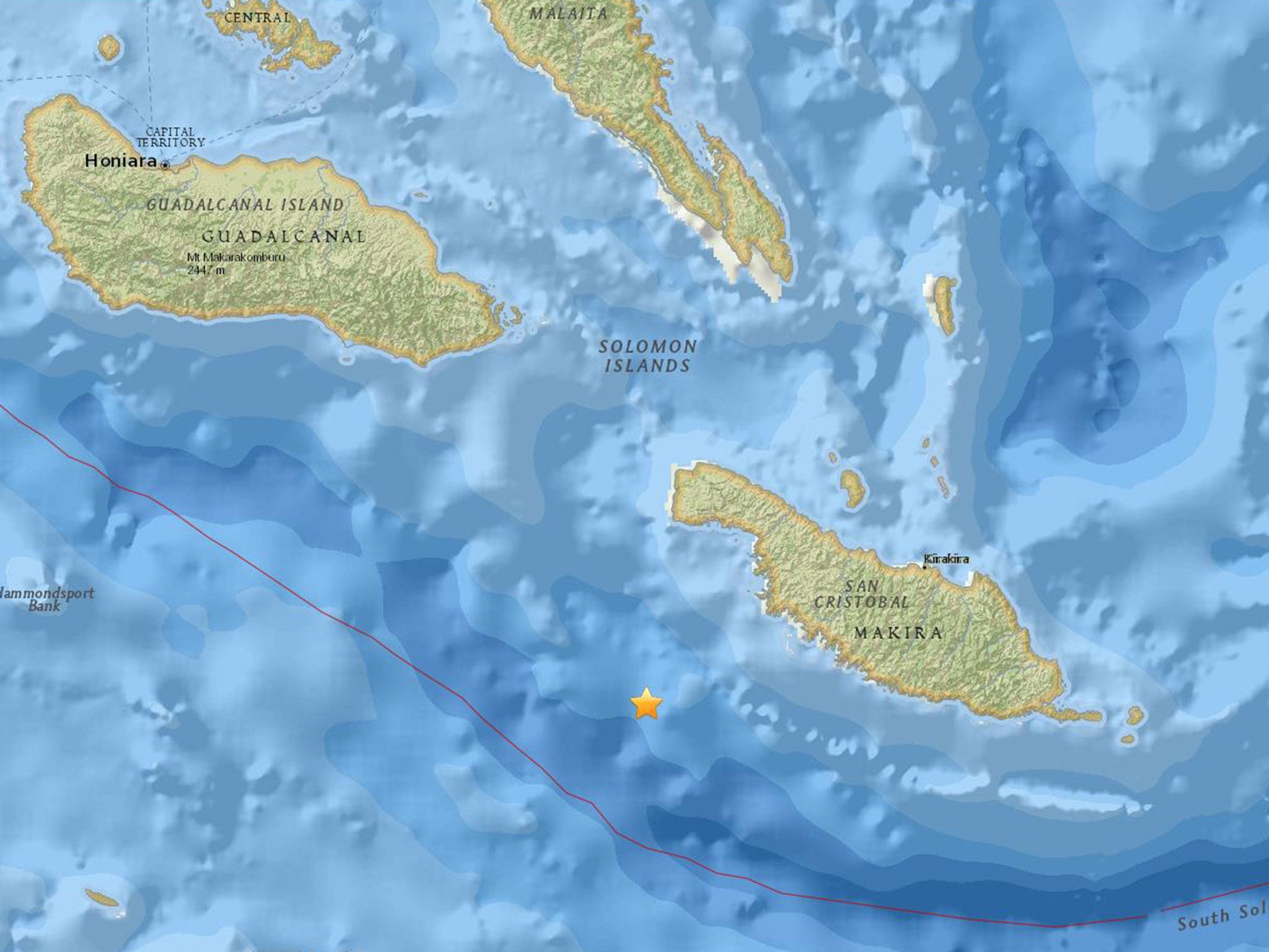
The US Geological Society recorded its epicentre at a depth of 6 miles (10km) off the coast of Makira island at 6.10am local time on Saturday (19.10pm GMT on Friday).
No casualties or severe damage was immediately reported and the Pacific Tsunami Warning Centre had detected no risk.

"Based on all available data a destructive Pacific-wide tsunami is not expected," a statement said.
The epicentre was in almost exactly the same location as an earthquake that hit the previous day, along an active fault line.
The first quake hit shortly after 4.38am local time on Friday (5.30pm GMT on Thursday) and was followed by four aftershocks, with the epicentre recorded off the coast of Makira island at a depth of 30 miles (48.7km).
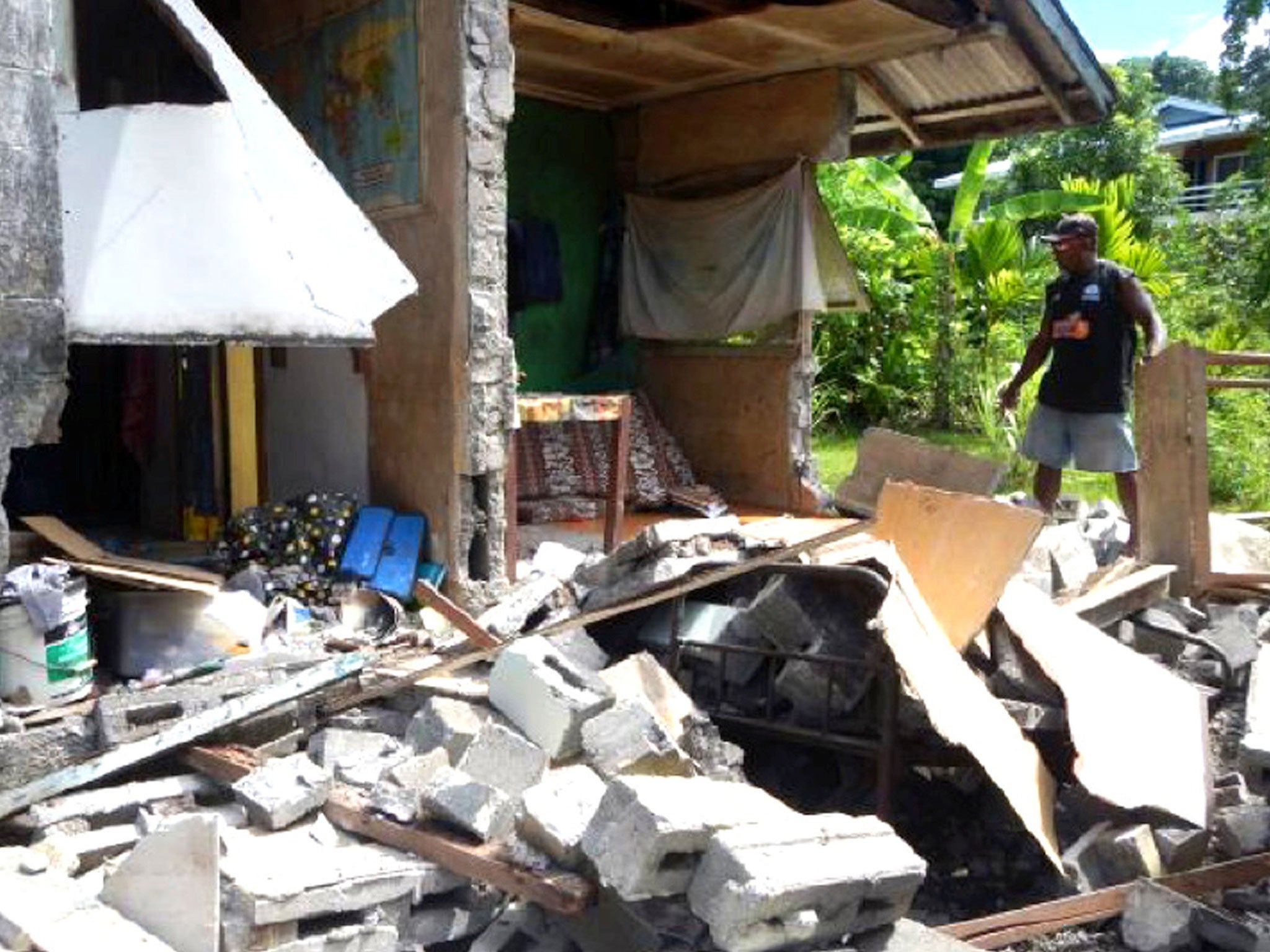
Phone lines were down and electricity cuts reported in some areas, while pictures showed some buildings partly destroyed and cracks in the ground.
The Solomon Islands are located in the Pacific's geologically active “Ring of Fire”, which contains more than 400 volcanoes and fault lines generating frequent quakes.
Join our commenting forum
Join thought-provoking conversations, follow other Independent readers and see their replies
Comments