Australia hit by ‘life-threatening’ flash-flooding, bushfires and a cyclone in same day
Summer of extreme weather continues with heaviest downpour in decades

Your support helps us to tell the story
From reproductive rights to climate change to Big Tech, The Independent is on the ground when the story is developing. Whether it's investigating the financials of Elon Musk's pro-Trump PAC or producing our latest documentary, 'The A Word', which shines a light on the American women fighting for reproductive rights, we know how important it is to parse out the facts from the messaging.
At such a critical moment in US history, we need reporters on the ground. Your donation allows us to keep sending journalists to speak to both sides of the story.
The Independent is trusted by Americans across the entire political spectrum. And unlike many other quality news outlets, we choose not to lock Americans out of our reporting and analysis with paywalls. We believe quality journalism should be available to everyone, paid for by those who can afford it.
Your support makes all the difference.Severe bushfires burned through parts of Western Australia on Sunday, with other areas of the state dealing with the landfall of a powerful cyclone, while the country's east coast was facing potential life-threatening flash flooding.
After months of destructive wildfires that have razed millions of acres of land, Australia has been hit in recent weeks by wild weather that has alternately brought heavy downpours, hailstorms, gusty winds and hot and dry air.
About a dozen fires were burning in Western Australia on Sunday, with severe fire danger expected in several districts, according to fire services and the state's Bureau of Meteorology.
Daytime temperatures in some of the districts were forecast at up to 42C.
The state's upper parts were battling the aftermath of the tropical cyclone Damien that made a landfall on Saturday afternoon, bringing gusty winds of up to 124 miles per hour.
No immediate damages were reported and the cyclone was expected to weaken as it moved inland, but winds were seen to blow at more than 60 miles per hour.
“Although Tropical #CycloneDamien has weakened significantly from the thrashing it gave Karratha and Dampier yesterday, areas around Tom Price and Paraburdoo are receiving significant rainfall and squally conditions,” the state's Bureau of Meteorology said on its Twitter account.
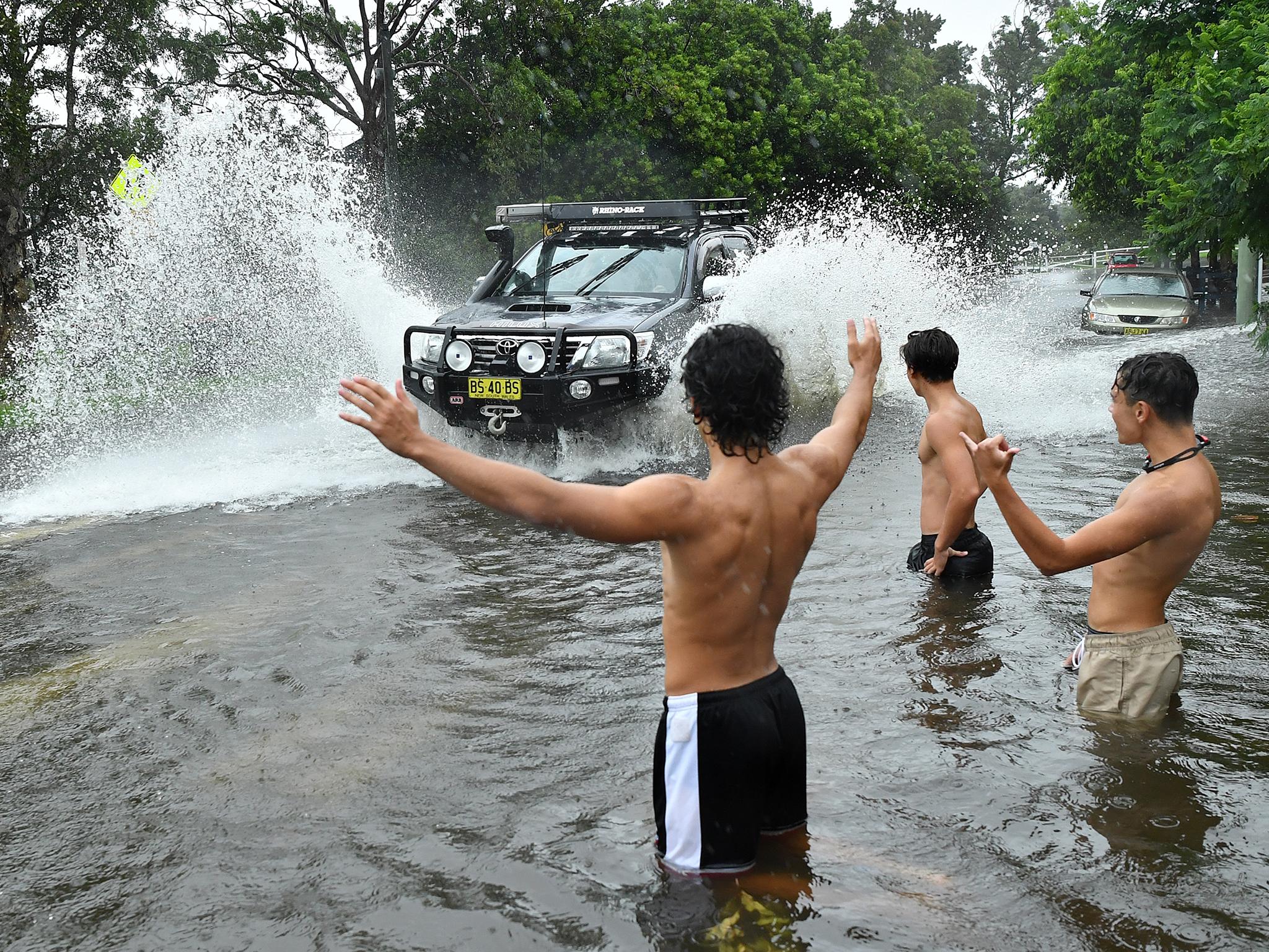
On the opposite coast of Australia, Sydney and the state of New South Wales were in danger of potential life-threatening flash flooding as rain kept bucketing down for a third day in a row in downpours not seen since 1998.
Rainfall in some parts of the state approached half the annual average, but the falls were welcomed after the state saw its driest year on record in 2019, at 55 per cent below average.
The state's Bureau of Meteorology said there was potential for heavy “rainfall and life-threatening flash-flooding”, and coast erosion, although little danger of river flooding as water levels have been low due to a persistent drought.
In Queensland, meteorologists also warned of flash and river flooding on Sunday, following heavy falls overnight. An emergency flood alert was issued for residents of Dalby due to a creek overflowing, some 124 miles west of Brisbane.
Reuters
Join our commenting forum
Join thought-provoking conversations, follow other Independent readers and see their replies
Comments