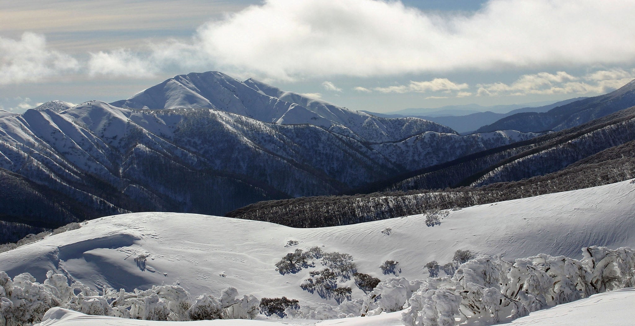
Australia snow: 'Big chill' on its way as Queensland temperatures set to drop to lowest in 15 years
The last time Australia had such a large northward spread of snowfall was in May 2000

Your support helps us to tell the story
From reproductive rights to climate change to Big Tech, The Independent is on the ground when the story is developing. Whether it's investigating the financials of Elon Musk's pro-Trump PAC or producing our latest documentary, 'The A Word', which shines a light on the American women fighting for reproductive rights, we know how important it is to parse out the facts from the messaging.
At such a critical moment in US history, we need reporters on the ground. Your donation allows us to keep sending journalists to speak to both sides of the story.
The Independent is trusted by Americans across the entire political spectrum. And unlike many other quality news outlets, we choose not to lock Americans out of our reporting and analysis with paywalls. We believe quality journalism should be available to everyone, paid for by those who can afford it.
Your support makes all the difference.While the UK basks in the hottest temperatures of the year, on the other side of the world Australians are set to face the biggest outbreak of cold weather in the country since 2000.
A series of chilly Arctic fronts are expected to sweep over much of Australia this weekend, potentially causing temperatures to plummet to their lowest for 15 years, according to the Bureau of Meteorology.
Temperatures are set to drop to single digits or below zero across the south east, while snowfall is anticipated for the Australian Alpine region on Saturday and could also cover Australia’s largest mountain range, the Great Dividing Range, on Sunday.
Barry Hanstrum, the Bureau of Meteorology New South Wales' Regional Director said: “We’re expecting temperatures will plummet, winds will be fresh to strong, and snow will fall down to low elevations.”
Inland areas such as Penrith and Richmond can expect highs of 13 degrees on Sunday, while Katoomba, a town in he City of Blue Mountains, New South Wales will see a maximum of just 6 degrees with snow expected on both Sunday and Monday.
Zero temperatures will extend across Tasmania and Victoria according to the Bureau.
The chance of capital city, Canberra experiencing a dusting of snowfall however is at just 20-30 per cent.
Emergency services are warning motorists and those planning outdoor activities such as skiing or camping to prepare carefully for the cold conditions, with some resorts expected to get over 50cm of snow.
NSW SES Commissioner Adam Dent said that people should take extra care if snow is forecast in their area and people should be prepared for possible power outages.
Join our commenting forum
Join thought-provoking conversations, follow other Independent readers and see their replies
Comments