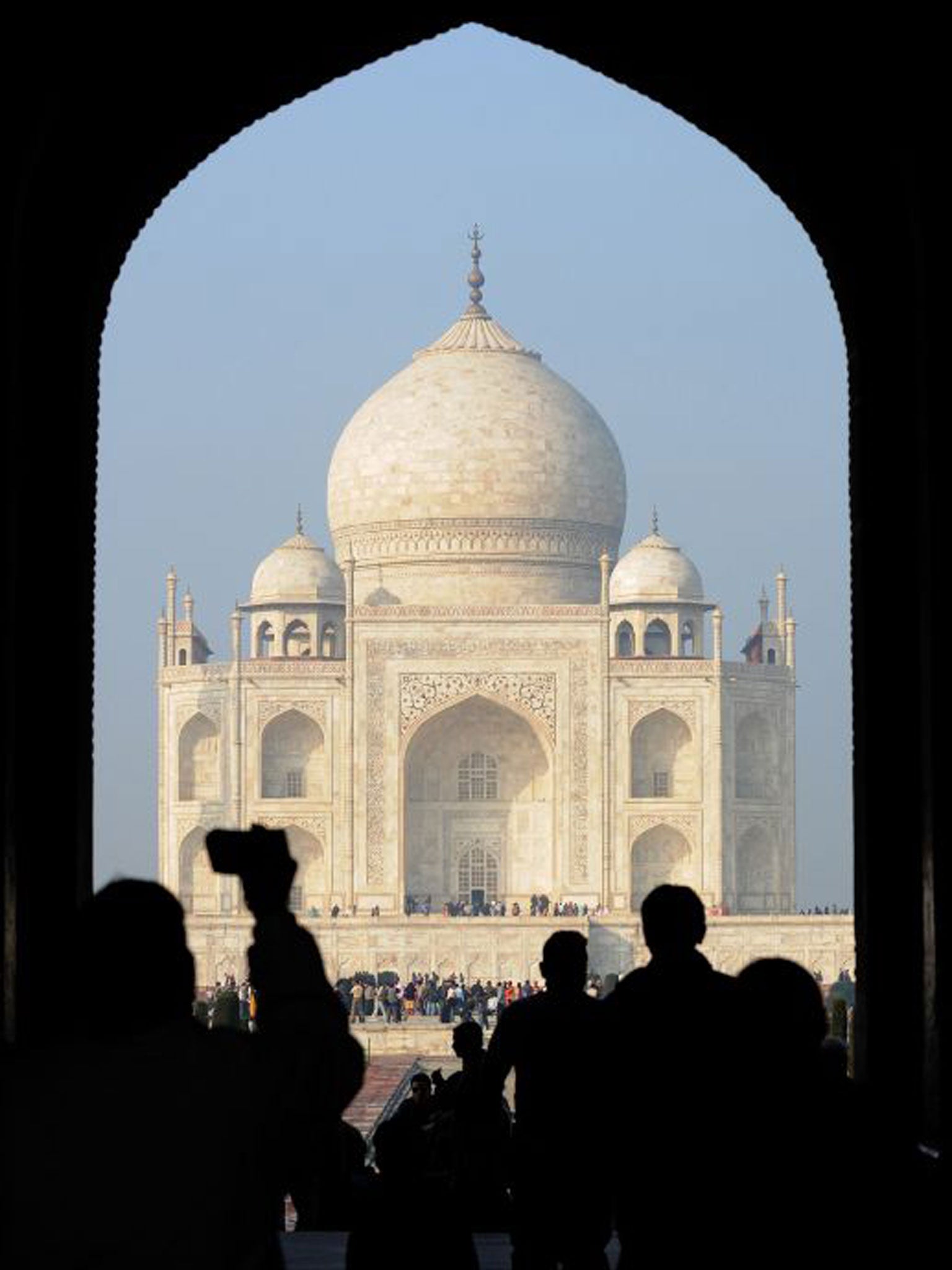
Taj Mahal to be mapped on Google Street View
Google is working with the Indian ministry of culture to create a virtual view of the Taj Mahal, as part of a wider project to map the world's greatest landmarks

Your support helps us to tell the story
From reproductive rights to climate change to Big Tech, The Independent is on the ground when the story is developing. Whether it's investigating the financials of Elon Musk's pro-Trump PAC or producing our latest documentary, 'The A Word', which shines a light on the American women fighting for reproductive rights, we know how important it is to parse out the facts from the messaging.
At such a critical moment in US history, we need reporters on the ground. Your donation allows us to keep sending journalists to speak to both sides of the story.
The Independent is trusted by Americans across the entire political spectrum. And unlike many other quality news outlets, we choose not to lock Americans out of our reporting and analysis with paywalls. We believe quality journalism should be available to everyone, paid for by those who can afford it.
Your support makes all the difference.It is commonly referred to as the Jewel of India and is seen as one of the most romantic locations on earth – and soon it will be possible to visit the Taj Mahal without leaving the UK.
If forking out for a flight to India is not an option, aspiring travellers might consider taking a virtual tour instead
Google has teamed up with the Indian ministry of culture to bring the majestic landmark and 99 other heritage sites to Street View, the BBC reported.
The white marble mausoleum, which is set on the banks of the river Yamuna and one of the finest examples of Mughal architecture, is being digitally mapped by Google’s backpack Trekker camera
The portable kit allows Google to map places its Street View cars are unable to reach. It has already been used to chart the Grand Canyon and Burj Khalifia, in Dubai, which is the world’s tallest skyscraper.
It is part of an ongoing project to collect footage of some of the world’s most valued landmarks.
Suren Ruhela, geo product manager for Google India, told the BBC: "We are creating a digital record of these monuments and those records will live forever.
"It's not only for this generation but many generations to come. So that's a great way of preserving the culture of the country."
The Trekker camera has 15 lenses pointed in different directions. The resulting footage is assembled by software to give viewers a 360-degree image and the illusion of actually being at the monuments.
The camera will also be granted access to areas of the Taj Mahal that are closed to the public.
“This will benefit the public," Munazzar Ali, a Taj conservationist from the Archaeological Survey of India (ASI), told the BBC.
"The camera will be allowed inside closed rooms, the entire complex, the tomb in the basement - so people can finally see the Taj like never before."
Join our commenting forum
Join thought-provoking conversations, follow other Independent readers and see their replies
Comments