US forecasters issue warning of ‘very dangerous’ storm system sweeping across Midwest
National weather service said around 53 million people across 10 states could be affected

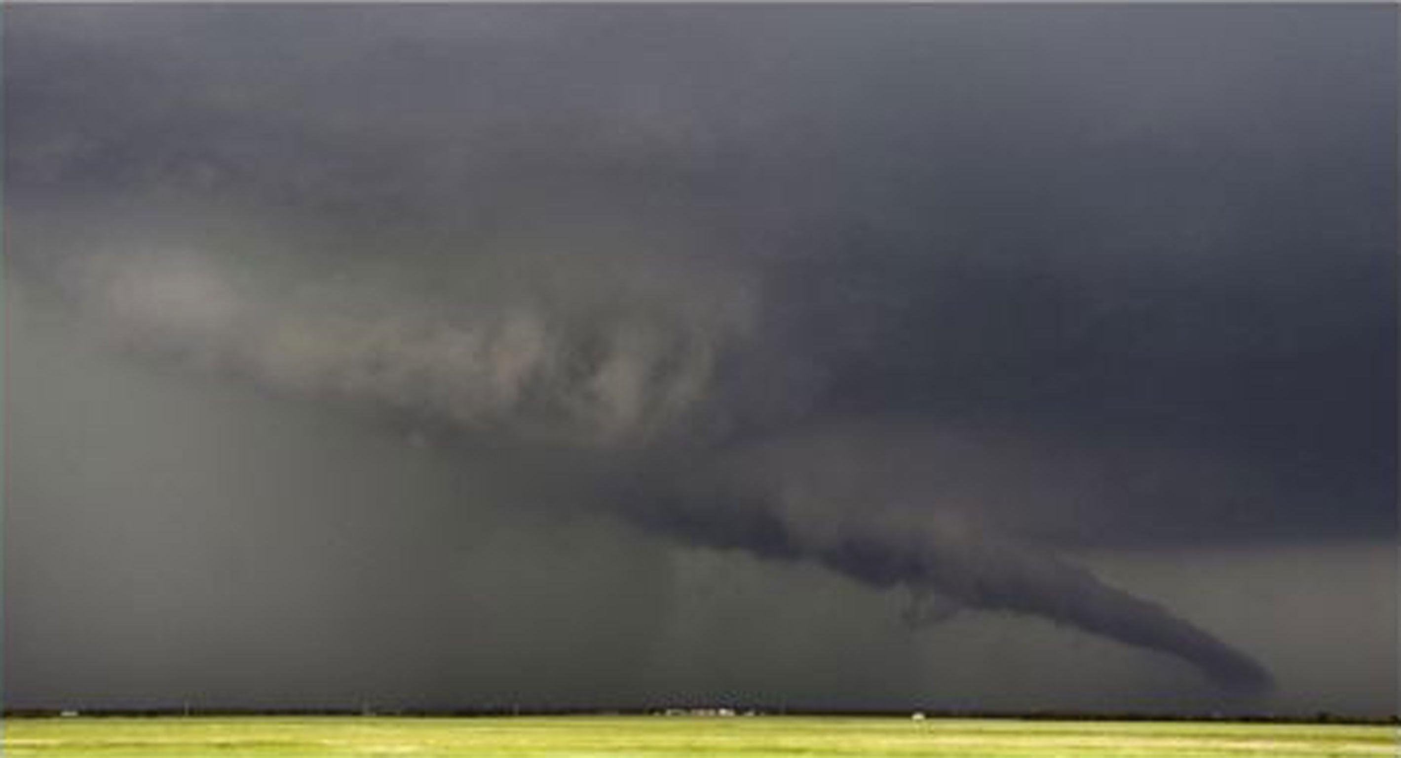
The US national weather service has issued a warning of a “very dangerous” storm system threatening some 53 million people in 10 states across the Midwest.
Forecasters said the storm had already spawned “a confirmed large and extremely dangerous tornado”, and has brought thunderstorms and powerful winds to large parts of Indiana, Ohio, Michigan and Kentucky.
“We obviously have a very dangerous situation on our hands and it's just getting started,” Laura Furgione, deputy director of the national weather service, told reporters.
Officials said the storm was likely to affect mainly rural areas, with the brunt of the damage expected to be destroyed mobile homes and falling trees.
The first large tornado touched down near Peoria in Illinois on Sunday, around 233km (145 miles) southwest of Chicago. Meteorologists said it was moving northeast at about 88kmph (55mph), and that it was not yet clear what damage it had caused.
Issuing the storm warning, Matt Friedlein from the national weather service told the Associated Press: “People can fall into complacency because they don't see severe weather and tornados, but we do stress that they should keep a vigilant eye on the weather and have a means to hear a tornado warning because things can change very quickly.”
The system is expected to sweep across the Midwest, hitting the northeast by Sunday evening local time. Many of its storms were expected to become “supercells”, with the potential to produce tornadoes, large hail and destructive winds.
Friedlein said that such strong storms are rare this late in the year because there usually isn't enough heat from the sun to sustain the thunderstorms. But he said temperatures Sunday are expected to reach into the 60s and 70s, which he said is warm enough to help produce severe weather when it is coupled with winds, which are typically stronger this time of year than in the summer.
“You don't need temperatures in the 80s and 90s to produce severe weather (because) the strong winds compensate for the lack of heating,” he said. “That sets the stage for what we call wind shear, which may produce tornadoes.”
Join our commenting forum
Join thought-provoking conversations, follow other Independent readers and see their replies
Comments
Bookmark popover
Removed from bookmarks