Tropical Storm Isaias set to smash New York with torrential rain and driving winds
Storm is currently centred off the coasts of Florida and South Carolina but heading north

Your support helps us to tell the story
From reproductive rights to climate change to Big Tech, The Independent is on the ground when the story is developing. Whether it's investigating the financials of Elon Musk's pro-Trump PAC or producing our latest documentary, 'The A Word', which shines a light on the American women fighting for reproductive rights, we know how important it is to parse out the facts from the messaging.
At such a critical moment in US history, we need reporters on the ground. Your donation allows us to keep sending journalists to speak to both sides of the story.
The Independent is trusted by Americans across the entire political spectrum. And unlike many other quality news outlets, we choose not to lock Americans out of our reporting and analysis with paywalls. We believe quality journalism should be available to everyone, paid for by those who can afford it.
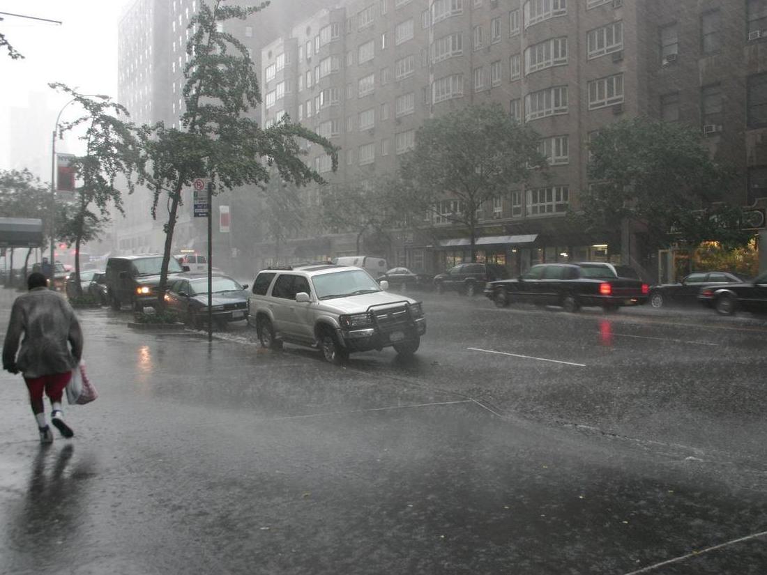
Your support makes all the difference.Tropical Storm Isaias is set to lash New York with torrential rain and driving winds on Tuesday after tearing its way up the east coast.
Weather forecasters issued a tropical storm warning for the tri-state area on Monday, with the worst of the conditions expected to hit the Big Apple early on Tuesday.
New Yorkers could be hit with between 2 and 4 inches of rain, while gusts of wind may reach speeds of up to 70 mph, according to the National Weather Service.
Battery Park, Harlem and Central Park are among the areas expected to be hit hardest by the storm, the service added. It forecast that torrential rain could result in flash flooding of up 2ft in surge-prone areas.
Long Island, parts of New Jersey and Connecticut are also expected to experience heavy rain and wind.
Storm Isaias was forecast to become a hurricane on Monday as it neared landfall in the Carolinas, after bands of heavy rain from the tropical storm lashed Florida’s east coast.
Residents there reported power cuts while authorities closed beaches, parks and virus testing sites, attaching signs to palm trees so they would not take flight in the wind.
“We are forecasting it to become a hurricane before it reaches the coast this evening,” senior hurricane specialist Daniel Brown said.
“It’s forecast to produce a dangerous storm surge, of 3 to 5 feet (0.9 to 1.5 meters) in portions of North and South Carolina,” added Brown.
Forecasters said Isaias was still centred east of Jacksonville, Florida, and 280 miles (455 km) south-southwest of Myrtle Beach, South Carolina, but was steadily heading north.
Isaias caused destruction and two deaths as it uprooted trees, destroyed crops and homes and caused widespread flooding and small landslides in the Dominican Republic and Puerto Rico over the weekend.
One man died in the Dominican Republic. In Puerto Rico, the National Guard rescued at least 35 people from floods that swept away one woman, whose body was recovered Saturday.
Additional reporting by Associated Press
Join our commenting forum
Join thought-provoking conversations, follow other Independent readers and see their replies
Comments