Rain could dampen New Year’s Eve revelry, forecasters warn
New Year’s Eve celebrations in New York City will be marked by wet weather and storms this year
Much of the country will be ringing in a very soggy 2025 this New Year’s Eve.
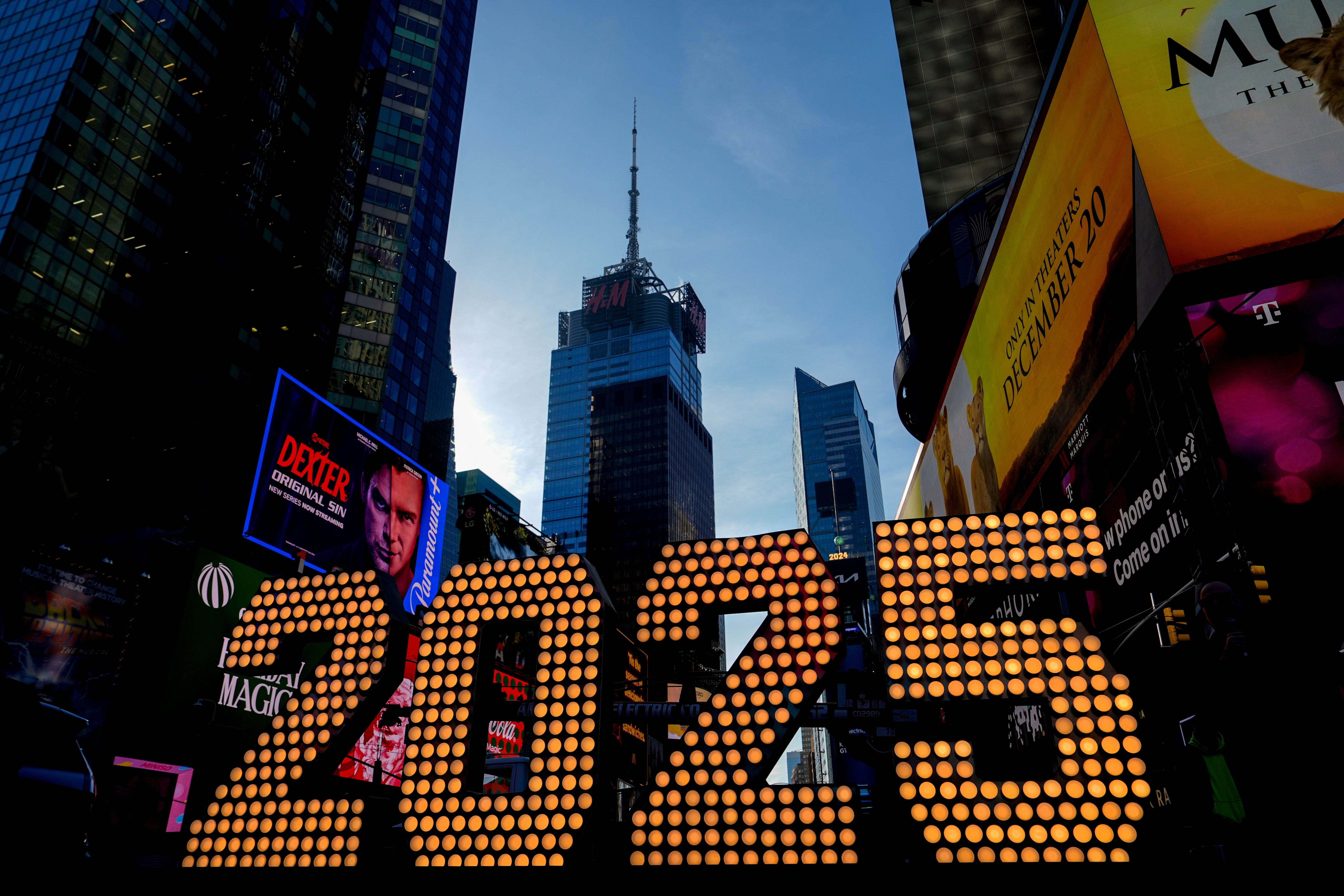
In New York City, where the ball will drop before a crowd of a million people at the iconic Times Square, temperatures are expected to be in the upper 40s to low 50s at midnight.
Forecasters warned that the probability of precipitation would increase throughout the evening, as the system moves into the Northeast and over the eastern U.S.
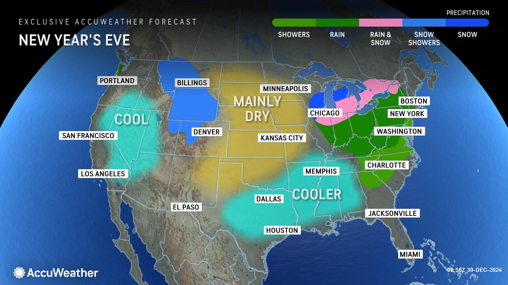
“We expect rain to move into midtown Manhattan sometime between 5 and 7 p.m. on New Year’s Eve and continue until 11 p.m. to 1 a.m. that night," AccuWeather Meteorologist Alex Duffus said in a statement. "The rain will be heavy at times, and people standing in Times Square will get soaked during the evening."

There may even be lightning, according to the media forecasting company. It also said rain was likely from the Midwest to southern New England, and down to North Carolina.
Thunderstorms are most likely across New Jersey on Tuesday, but no snow was forecast in the region.
In the Pacific Northwest, which celebrates three hours later, some precipitation is also forecast to continue into Tuesday night. Showers were moving across northwestern Oregon and southwestern Washington on Monday, with some small hail.

Flood advisories were issued along the California coast on Monday, and temperatures were expected to fall. But, rain wasn’t expected in San Francisco until Friday.
Unfortunately for Los Angeles County and southern California, increased winds have resulted in a fire weather watch from Tuesday through Thursday.
The risk could become critical through mid-week, and wind advisories and a red flag warning were posted in the area.
Only a handful of states could see some snowfall for the holiday.

In the nearby western states of Idaho, Montana, and Wyoming, some snow is anticipated through Wednesday.
The Great Lakes will continue to see lake-effect and lake-enhanced snows, which will spread into the northern and central Appalachians. Some mixed precipitation is forecast in central New England.
While weather in most of the central and southern U.S. will remain mild and dry, overnight temperatures will be cold in the northern Plains.
By next year, frigid cold weather is expected to grip the majority of the nation.
Join our commenting forum
Join thought-provoking conversations, follow other Independent readers and see their replies
Comments
Bookmark popover
Removed from bookmarks