It’s only March! Forecasters watching ‘disturbance’ in gulf to see if it becomes year’s first named storm
The Atlantic hurricane season doesn’t officially start until the beginning of June
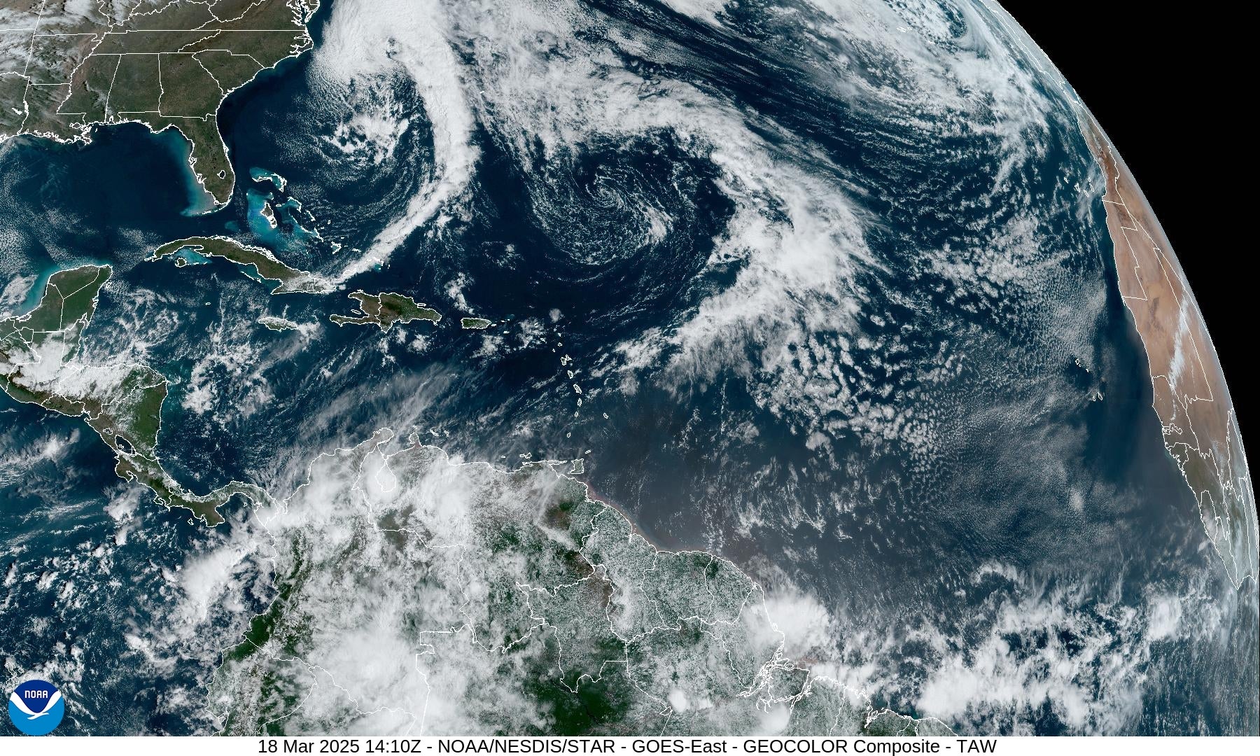
Forecasters say they’re watching a storm system over the Atlantic — months before the start of this year’s Atlantic hurricane season.
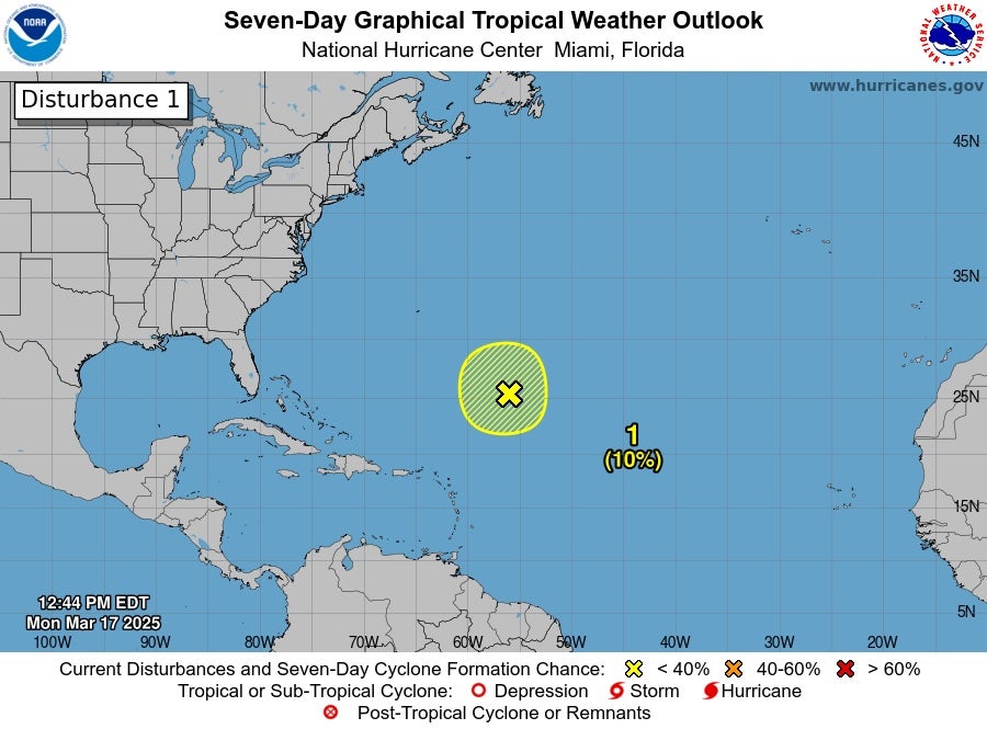
The first Atlantic disturbance of the year is located about 700 miles northeast of the northern Leeward Islands, which are situated where the northeastern Caribbean Sea meets the western Atlantic Ocean. The Leeward Islands include the U.S. Virgin Islands.
It is producing gale-force winds and disorganized showers and thunderstorms, according to the National Weather Service’s National Hurricane Center.
“Additional development is not expected as it moves into an environment of strong upper-level winds and dry air tonight and Tuesday,” the National Oceanic and Atmospheric Administration organization said.
While additional development — i.e. the formation of a tropical cyclone — is not anticipated through next week, its potential sent some shock waves on social media.
“Excuse me, but what,” wrote X user Florida Girl.
“Too early for this. Too early to think of it, be reminded of it, No. No,” said Tikva Esther.
“ITS MARCH,” added Joseph Bates.
“It’s March! Go home, Storm, you’re drunk!“ John Smith exclaimed.
Commenters are not wrong. - the Atlantic hurricane season does not officially begin until June 1, running through November 30. The first named storm on a list of 21 is Andrea.
Predictions for how active the season could be aren’t out yet, but are expected within the coming weeks.
This disturbance is not necessarily an indication of what to expect going forward and systems can develop outside of those timeframes, although it is rare.
Water temperatures over the subtropical Atlantic are warm enough to support additional strengthening of thunderstorms right now, according to Click Orlando.com. Climate change is leading to hot Gulf waters that can supercharge hurricanes.
“This feature started to rotate after being left behind in the Central Atlantic at the tail end of an old cold front traversing the entirety of the oceanic basin,” wrote meteorologist David Nazario. “If the back end or southern edge of a front is left to fester over relatively warm water, these occasional spin-ups can and do happen.”
Join our commenting forum
Join thought-provoking conversations, follow other Independent readers and see their replies
Comments
Bookmark popover
Removed from bookmarks