LA wildfires mapped: Where could the blaze go next after Palisades, Eaton and Kenneth
The death toll from the blazes has risen to 16, Los Angeles County’s Medical Examiner said, with number expected to grow
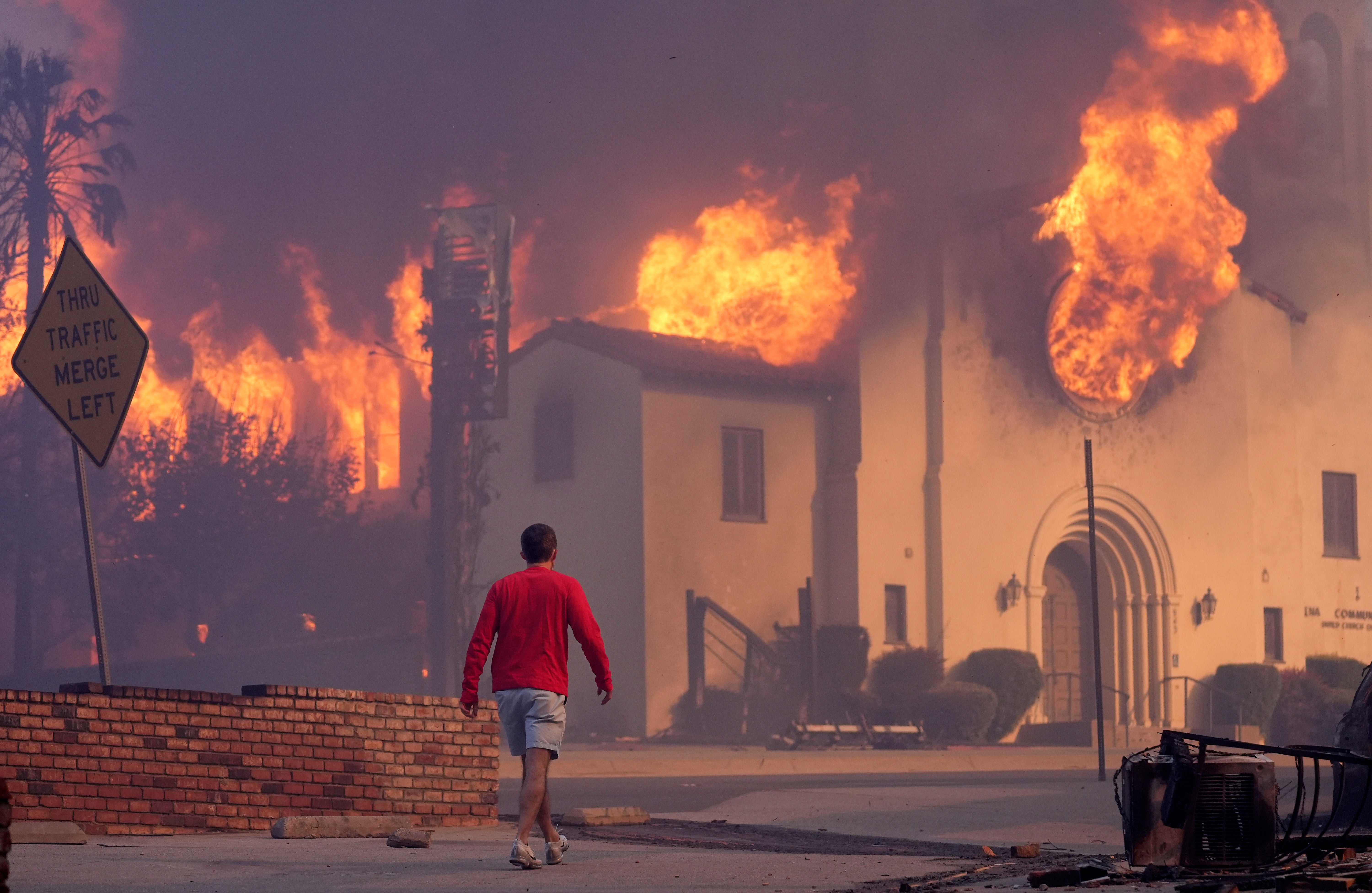
Wildfires ravaging Los Angeles have killed at least 16 people and destroyed 12,000 structures, with six fires burning into a fifth night.
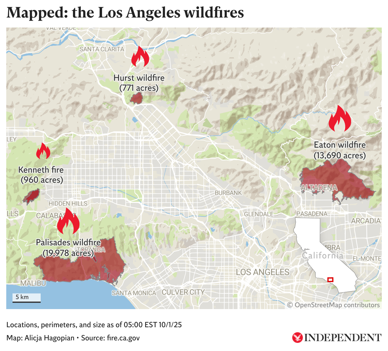
The 23,000-acre Palisades Fire between Santa Monica and Malibu on the city's western flank and the Eaton Fire in the east near Pasadena already rank among the most destructive blazes in Los Angeles history, consuming more than 53 square miles and turning entire neighborhoods to ash.
The death toll from the blazes is now at 16, Los Angeles County's Medical Examiner said on Saturday night. Los Angeles County Sheriff Robert Luna said earlier he expected the number to grow. Wildfires have now scorched more than 39,000 acres of land in Southern California.
“It looks like an atomic bomb dropped in these areas. I don’t expect good news, and we’re not looking forward to those numbers,” Luna said.

Forecaster AccuWeather estimated the damage and economic loss at $135 billion to $150 billion, warning of a difficult recovery and soaring homeowners' insurance costs.
President Joe Biden, who declared a major disaster on Tuesday, promised on Thursday that the federal government would reimburse 100 percent of the recovery for the next 180 days to pay for debris and hazard material removal, temporary shelters and first responder salaries.
Where are the fires currently burning?

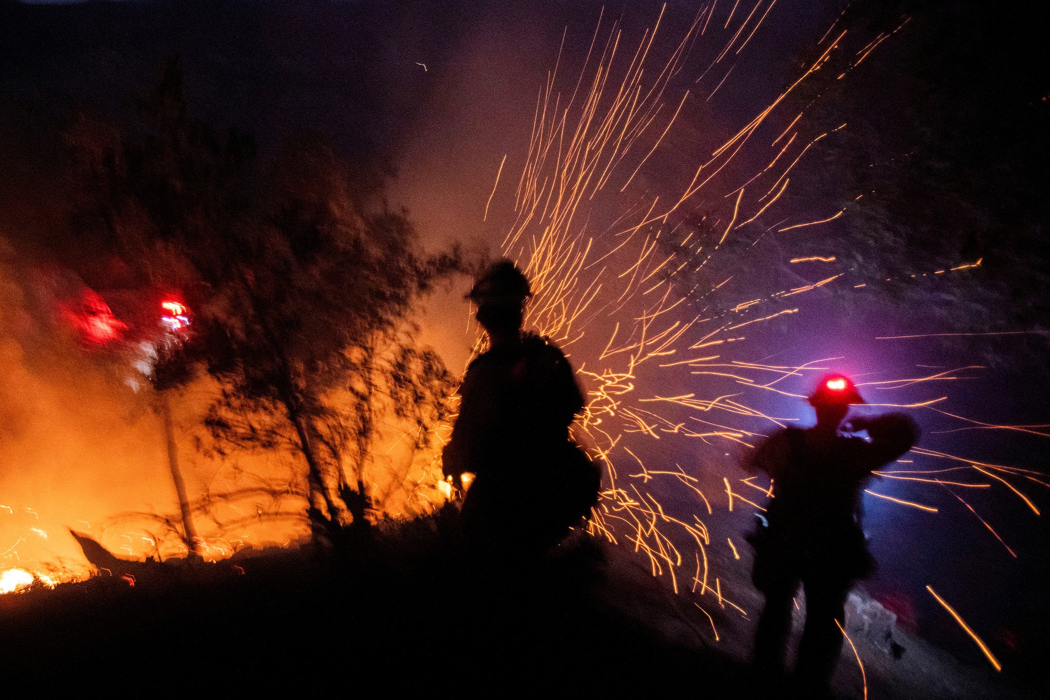
In all, six wildfires burned in Los Angeles County, with the largest Palisades fire just 11 percent contained and the Eaton fire 27 percent contained as of Sunday morning. Skies buzzed with aircraft dropping retardant and water on the flaming hills.
A large Super Scooper aircraft on loan from Canada was damaged and grounded after hitting an unauthorized civilian drone near the Palisades fire, the L.A. County Fire Department said. There were no injuries.
One rapidly growing blaze broke out on Thursday near Calabasas, one of the wealthiest cities in the U.S. and home to numerous celebrities and gated communities. The Kenneth Fire expanded to 1052 acres in a matter of hours but is now 100 percent contained.

Some Pacific Palisades residents ventured back to areas the fire had already swept through, where brick chimneys were left looming over charred waste and burnt-out vehicles.
Winds dropped on Thursday from the 100 mph gusts seen earlier in the week, permitting crucial aerial support for crews on the ground.
Firefighting crews managed to fully control the Sunset Fire in the Hollywood Hills, after flames had raged atop the ridge overlooking Hollywood Boulevard’s Walk of Fame on Wednesday night.
Where could the wildfire move to next?
AccuWeather forecasters said winds on Friday are not expected to be as strong as they were earlier this week during the windstorm.
Offshore winds are expected to pick up again Sunday in advance of another area of low pressure that will move south through California, the forecaster said.

The Santa Ana winds are expected to pick back up early next week, The Weather Channel noted. Los Angeles County remains under a red flag warning — which indicates dangerous fire conditions — until at least Friday evening.
AccuWeather predicts wind gusts of 40-60 mph starting Monday through Tuesday night.

Jonathan Porter, Chief Meteorologist at AccuWeather, said the wildfire disaster in Southern California is the latest multi-billion-dollar weather disaster in the United States that is straining state and federal firefighting and emergency resources.
“Many parts of the world face serious impacts and threats from our warming climate and changes to extreme weather patterns. California is on the forefront of climate change in the United States, and this tragic disaster is the latest in a devastating series of extreme weather events resulting in multi-billion-dollar disasters,” Porter said.
Live: evacuation order areas in Los Angeles County
What is causing the fires?
The fast-moving wildfires are being fueled by a weather phenomenon known as the Santa Ana winds.
The Santa Anas are dry, warm and gusty northeast winds that blow from Nevada and Utah to Southern California toward the coast. They move in the opposite direction of the normal onshore flow that carries moist air from the Pacific into the region.
The name is understood to be linked to Santa Ana Canyon in Orange County, but the weather has other nicknames such as “devil winds” or “red wind.”
Join our commenting forum
Join thought-provoking conversations, follow other Independent readers and see their replies
Comments
Bookmark popover
Removed from bookmarks