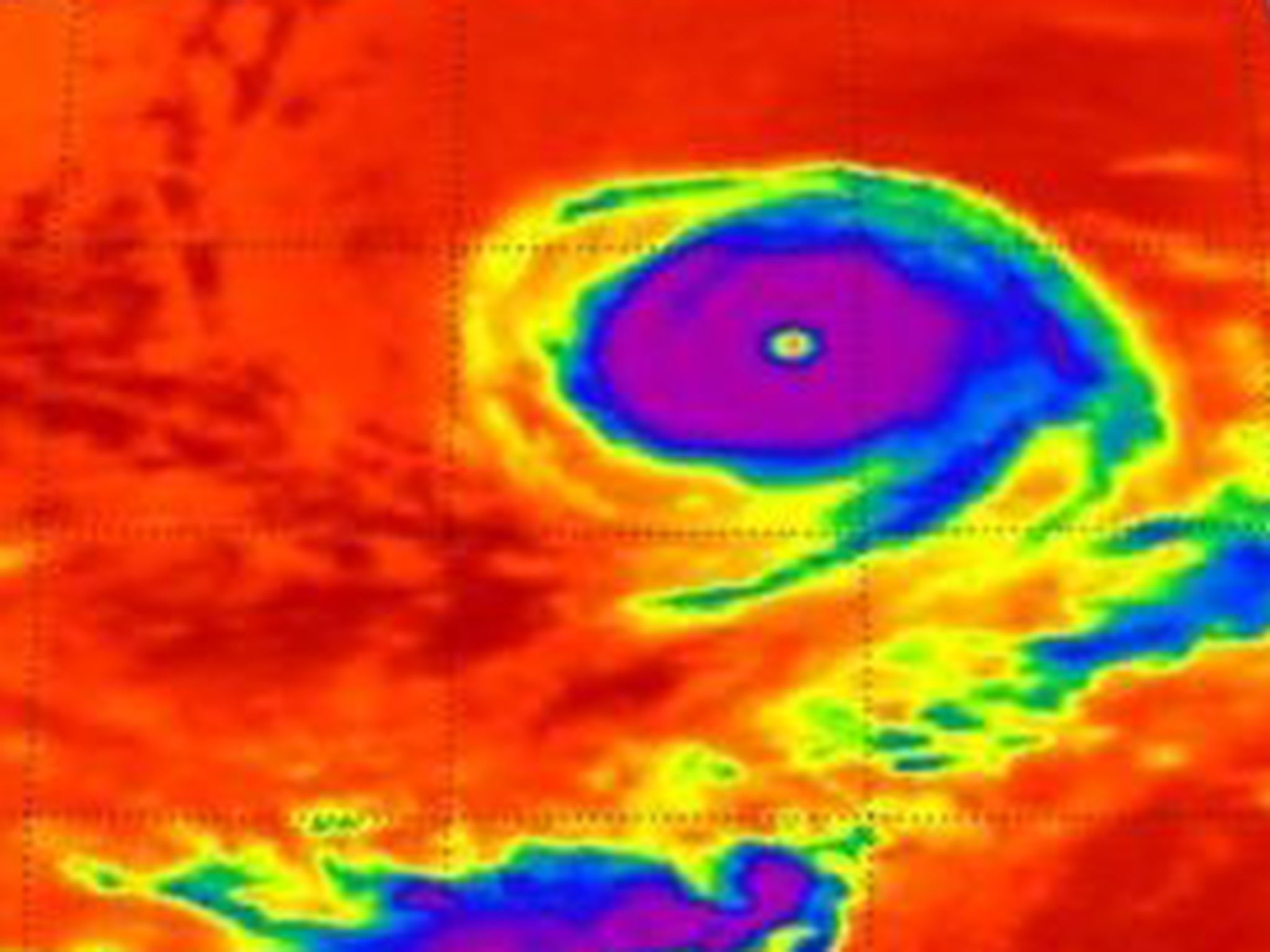
Hurricane Olivia: Powerful storm barrels toward Hawaii threatening to bring heavy rain
Category 1 storm has sustained winds of 75mph

Your support helps us to tell the story
From reproductive rights to climate change to Big Tech, The Independent is on the ground when the story is developing. Whether it's investigating the financials of Elon Musk's pro-Trump PAC or producing our latest documentary, 'The A Word', which shines a light on the American women fighting for reproductive rights, we know how important it is to parse out the facts from the messaging.
At such a critical moment in US history, we need reporters on the ground. Your donation allows us to keep sending journalists to speak to both sides of the story.
The Independent is trusted by Americans across the entire political spectrum. And unlike many other quality news outlets, we choose not to lock Americans out of our reporting and analysis with paywalls. We believe quality journalism should be available to everyone, paid for by those who can afford it.
Your support makes all the difference.Hurricane Olivia is barrelling towards Hawaii, threatening to bring heavy rains just two weeks after Hurricane Lane caused major flooding.
The Category 1 storm had sustained winds of 75mph and was about 570 miles east northeast of Hilo, Hawaii, at 8pm local time on Sunday.
It could approach the islands on Tuesday and pass close to, or even over them, on Wednesday.
Meteorologists predict Olivia could bring up to 15 inches of rain, potentially causing major flooding, along with damaging winds and dangerous surf.
“Damaging tropical storm force winds may begin in some parts of the islands as early as Tuesday afternoon and evening,” the Central Pacific Hurricane Center warned on Sunday.
The centre added: “Large swells and surf generated by Hurricane Olivia will be the initial threat. Surf will continue building tonight through Tuesday as Olivia approaches, and may become damaging on some exposed east facing shores later Tuesday or Wednesday as swell heights peak.
“As Olivia gets closer to the islands, the chance for flooding rainfall increases as well, starting Tuesday. Preliminary storm total rainfall amounts are in the 10 to 15 inch range, with isolated areas up to 20 inches.
“Much of this rainfall will be focused on windward areas, many of which already received significant amounts of rain from recent Hurricane Lane. Therefore, flooding is anticipated to be a very significant threat, especially in those areas.”
It will be the second hurricane to hit Hawaii this year, after Hurricane Lane drenched the state with 52 inches of rain – more than any storm in the past 68 years.
The second week of September is the peak of hurricane season.
The governor of Virginia has declared a state of emergency ahead of the arrival of Tropical Storm Florence, which is expected to strengthen into a major hurricane later this week.
Join our commenting forum
Join thought-provoking conversations, follow other Independent readers and see their replies
Comments