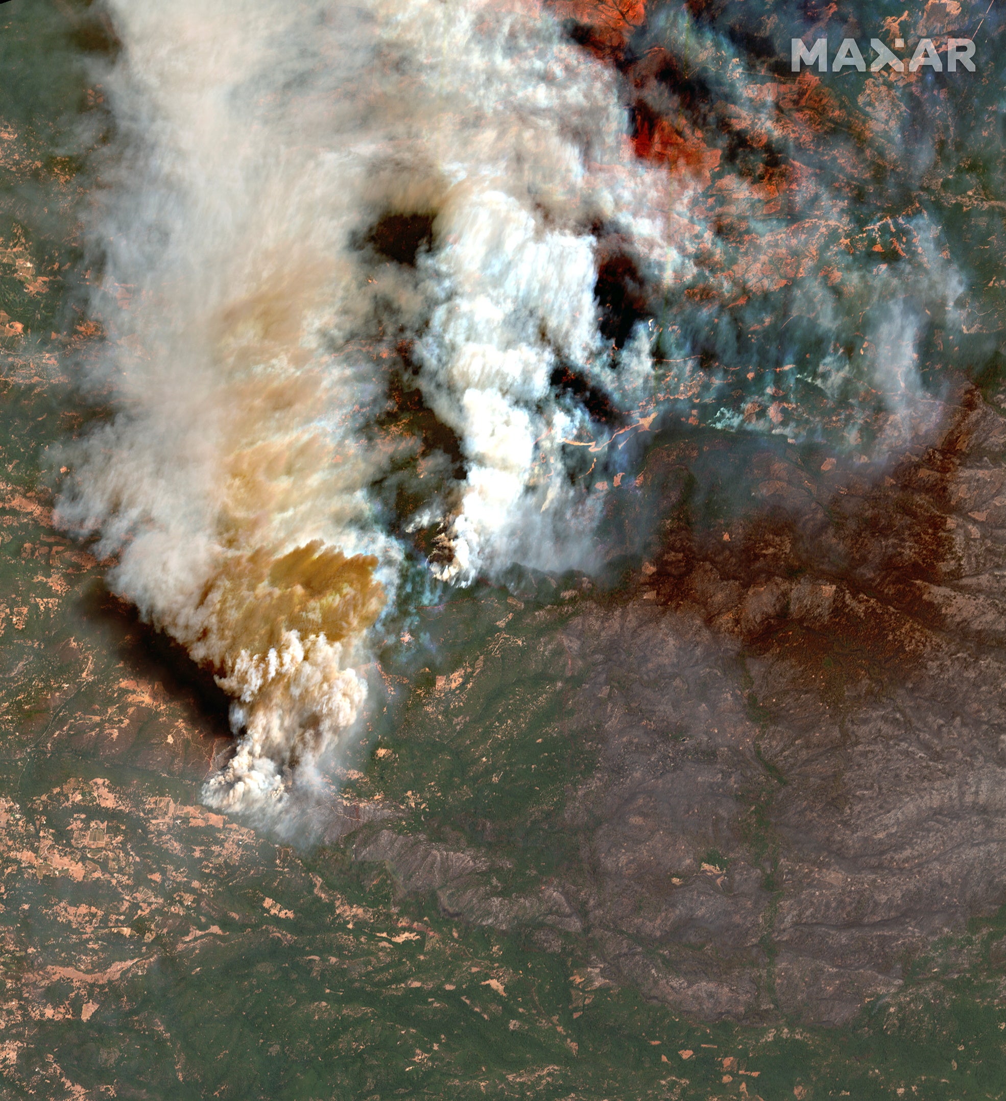
Satellite images show raging Caldor wildfire ablaze in California
Helicopters and more than 2,500 firefighters are battling the fire, which has destroyed some 461 homes
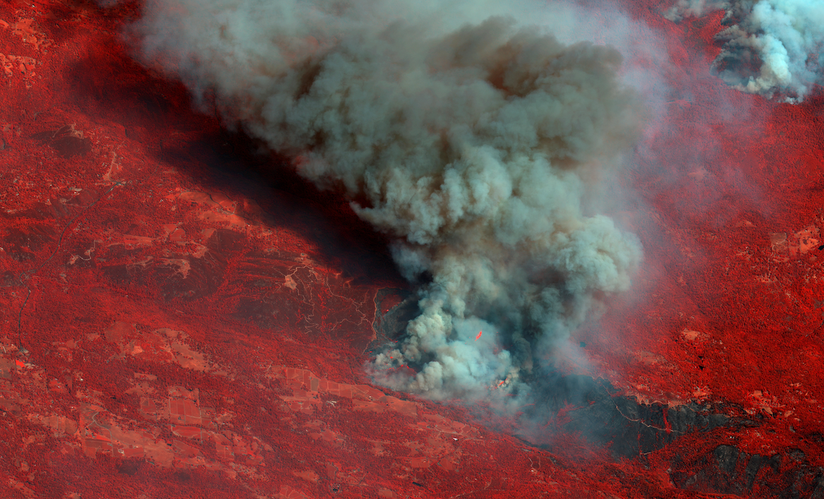
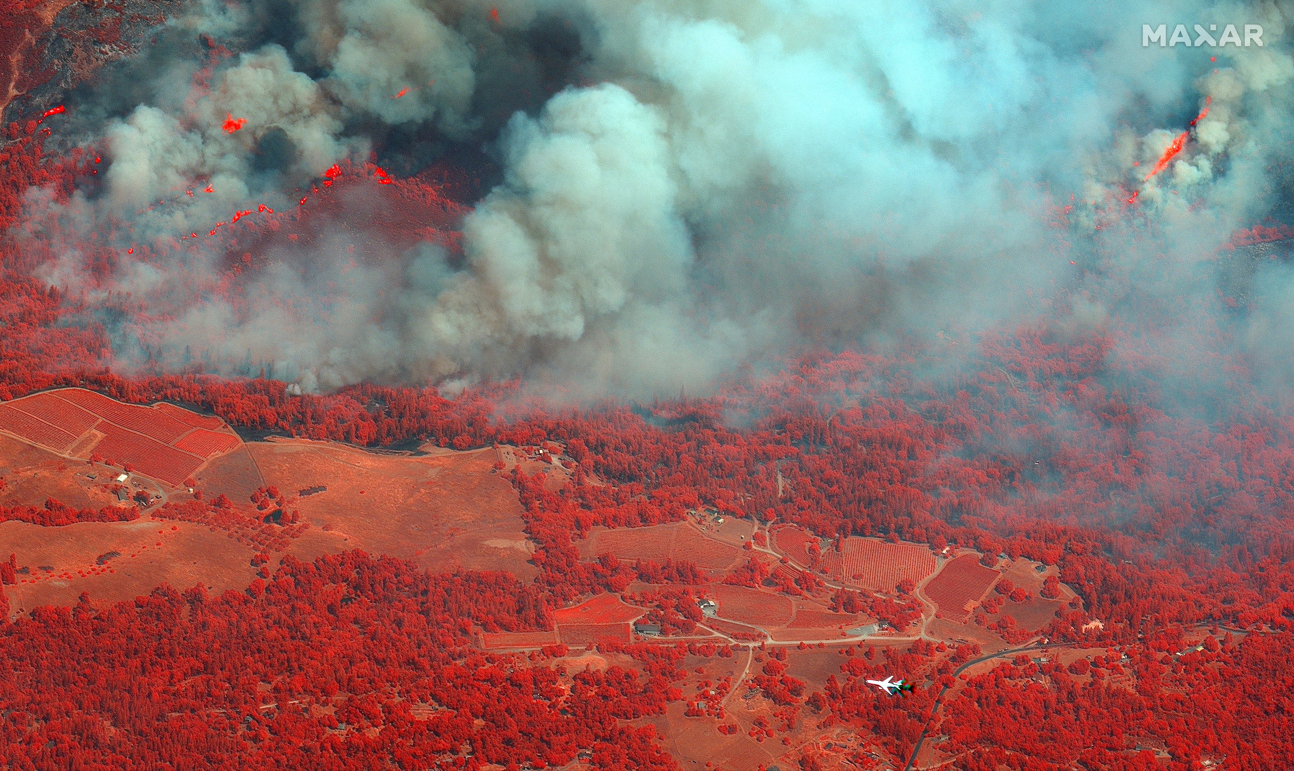
Terrifying pictures have been captured of the extent Caldor wildfire, east of Sacramento in the community of Grizzly Flats, in El Dorado County.
The blaze has scorched around 197 square miles since it began on 14 August. It was 12 per cent contained by Thursday, according to Cal Fire.
Helicopters and more than 2,500 firefighters are battling the fire, which has destroyed some 461 homes and threatened more than 17,000 structures.
Smoke has spread over the Sierra Nevada and has reached Lake Tahoe, on the California-Nevada border, where skies were picture engulfed in a haze of smoke, and air quality has reach "hazardous" in Tahoe City.
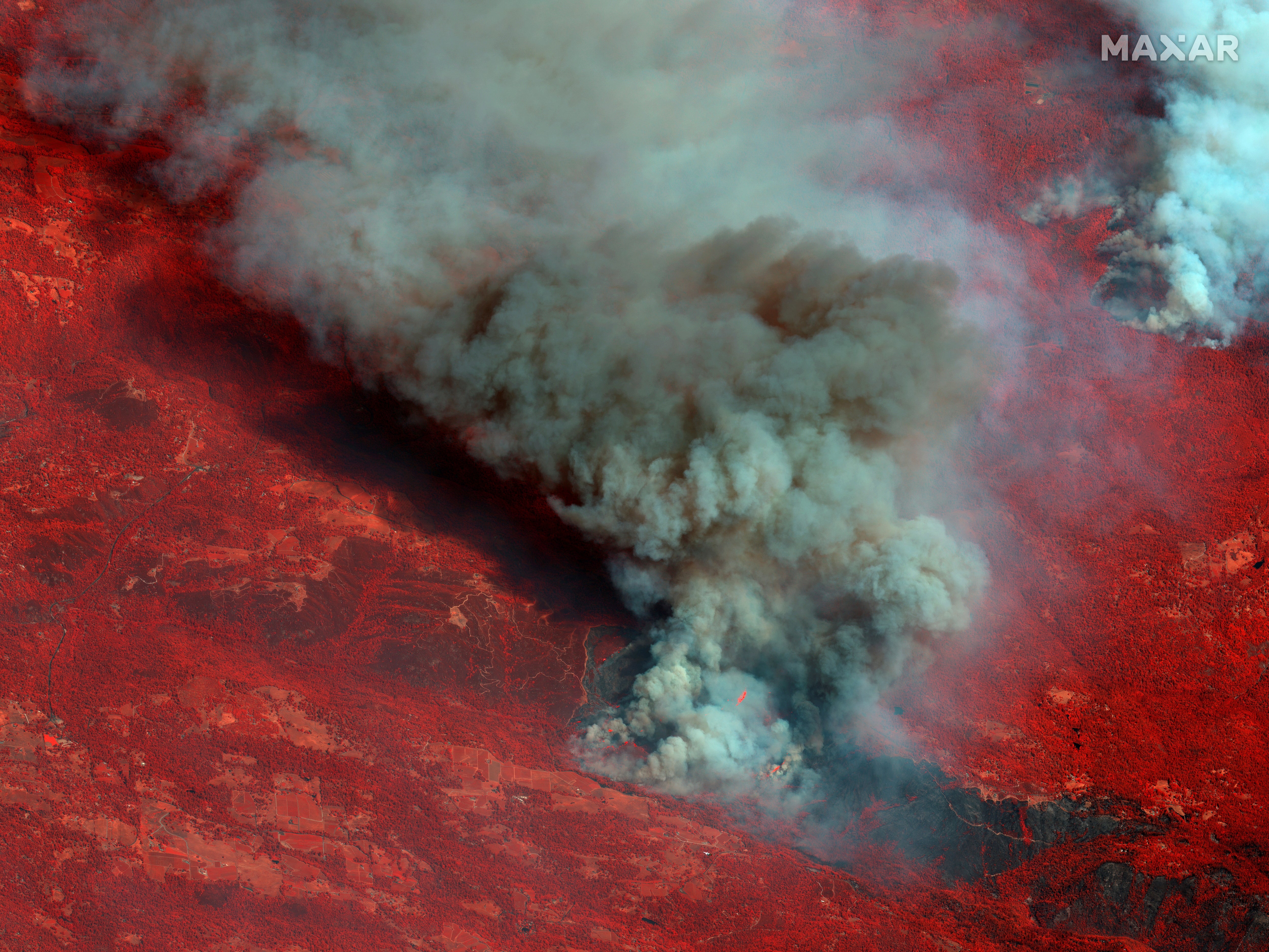
Schools have been closed in Reno, Nevada, 162 miles from the blaze, due to the smoke, according to the AP.
Air quality advisories are in place around Los Angeles, Riverside and San Bernardino counties – as wildfire particles can be detrimental to health, especially to those with respiratory problems.
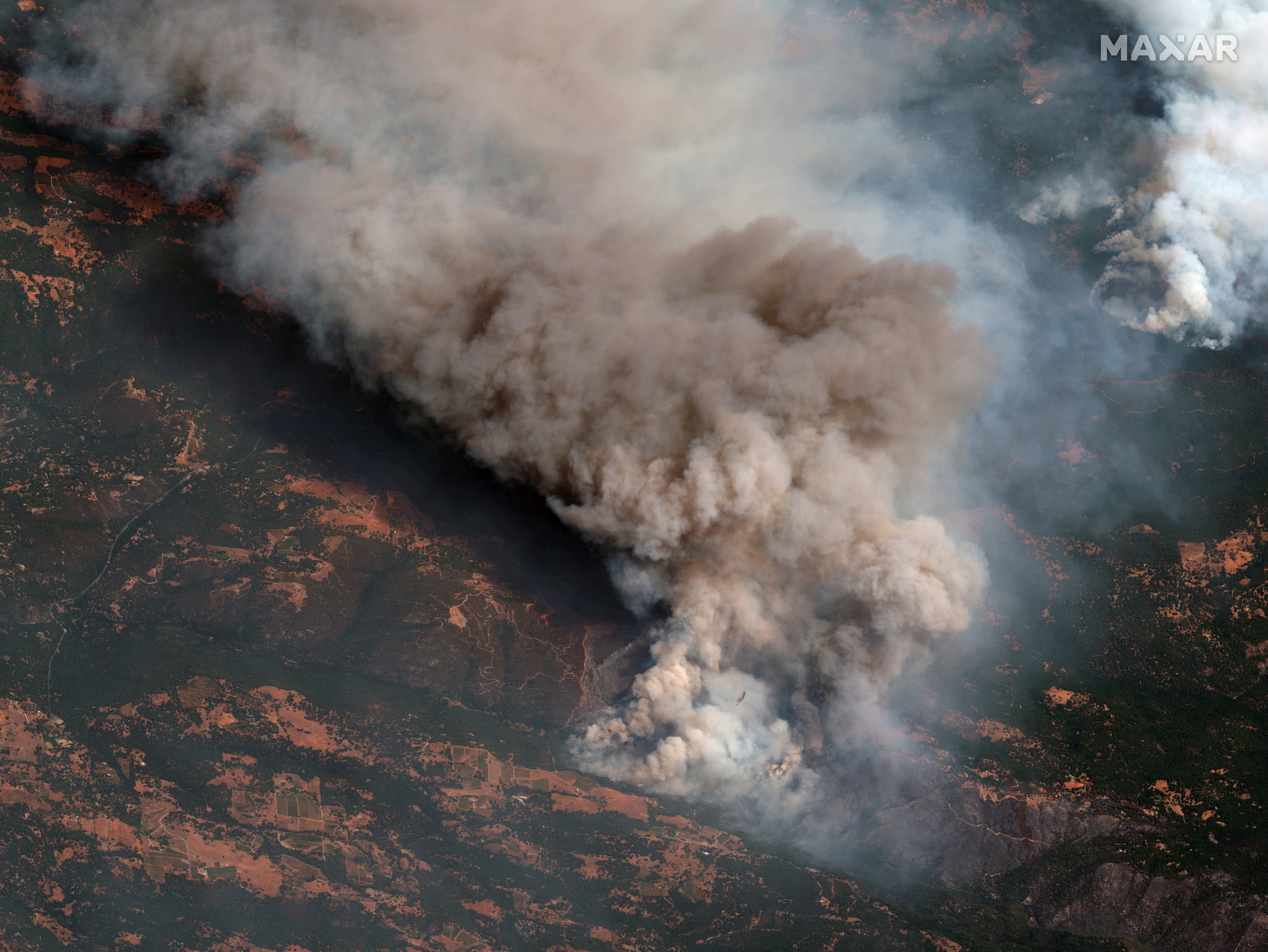
"This fire has just simply outpaced us," said El Dorado National Forest supervisor Jeff Marsolais on the speed of the Caldor Fire, reported CBS news. "We emptied the cupboards of resources, and the local fire chiefs of Amador and El Dorado counties sent every resource they could, and no matter how many folks we tried to get on it, it just continued to outpace us."
California’s Dixie Fire is also still raging, having burned an area covering 1,148 square miles, making it the second-largest fire in state history.
Evacuation orders are in place across various areas of the state. Evacuation centres for the Caldor fire can be found on Cali Fire.
Thirty US states have a combined total of 92 fires burning, most of which are in the west of the country.
Join our commenting forum
Join thought-provoking conversations, follow other Independent readers and see their replies
Comments
Bookmark popover
Removed from bookmarks