US weather model upgraded to better forecast extreme events
The National Weather Service upgraded its forecast model, with an eye on predicting extreme weather events better and faster

Your support helps us to tell the story
From reproductive rights to climate change to Big Tech, The Independent is on the ground when the story is developing. Whether it's investigating the financials of Elon Musk's pro-Trump PAC or producing our latest documentary, 'The A Word', which shines a light on the American women fighting for reproductive rights, we know how important it is to parse out the facts from the messaging.
At such a critical moment in US history, we need reporters on the ground. Your donation allows us to keep sending journalists to speak to both sides of the story.
The Independent is trusted by Americans across the entire political spectrum. And unlike many other quality news outlets, we choose not to lock Americans out of our reporting and analysis with paywalls. We believe quality journalism should be available to everyone, paid for by those who can afford it.
Your support makes all the difference.The National Weather Service has turbocharged its lagging forecast model to better predict extreme weather events such as hurricanes, blizzards and downpours, as well as day-to-day weather.
By including much higher layers of the atmosphere, increased factoring of ocean waves and other improvements, the weather service’s update to its Global Forecast System is trying to catch up with a European weather model that many experts consider superior.
Tests for the past two years show the upgrade, which kicked in Monday, forecast heavy rains and snowfall 15% better five days out and improved hurricane and tropical storm tracks by more than 10%, better pinpointing storm formation five to seven days in advance.
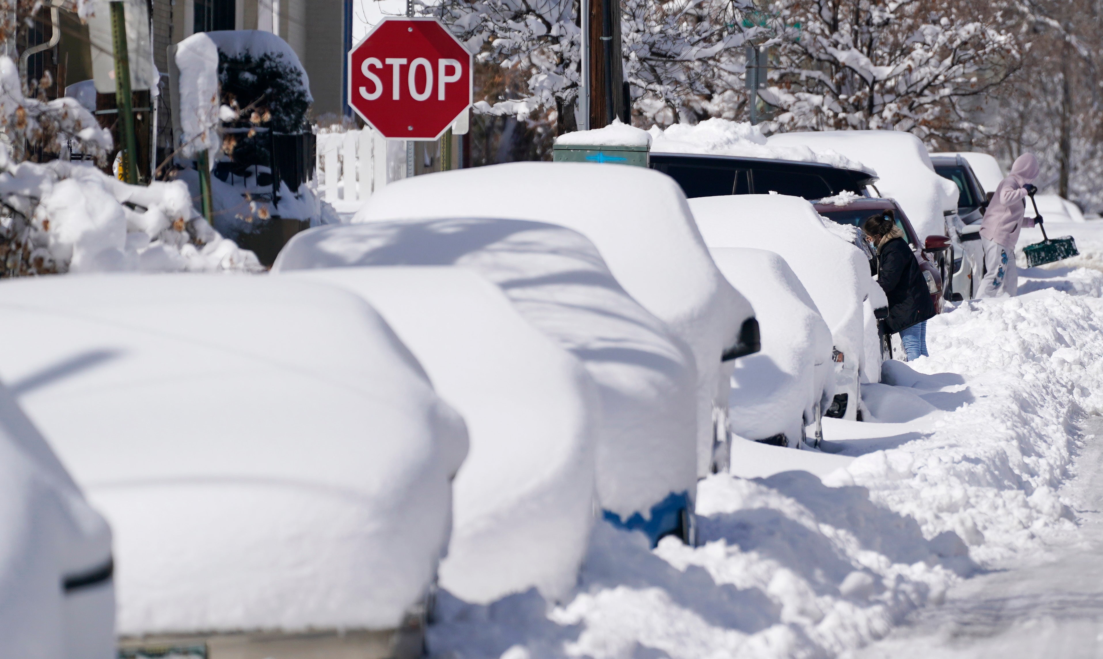
Forecasters say this new model does not predict more rain and snow than actually arrives, which its predecessor had a tendency to do. The new model was significantly better at forecasting the massive Colorado snowstorm earlier this month, getting the storm arrival time and snow amounts far more accurately than the older version, said Vijay Tallapragada, chief of modeling at the agency’s Environmental Modeling Center.
Internal studies also showed the new model was generally more accurate earlier on downpours in the Southeast in February 2020, Hurricane Dorian in 2019 and Hurricane Michael in 2018.
“This is for the general day-to-day forecasting and for the extreme events, and you’ve got to get both right,” said National Weather Service Director Louis Uccellini.
One main improvement is that the new model captures the atmosphere up to 50 miles high (80 kilometers) — far higher than the old one and has higher resolution at different levels, weather service officials said. This way it better characterizes the jet stream, which transports storms, they said.
Over the past 31 days, there was a stretch of eight straight days when this new version beat the highly-touted European forecast model, but in general over the period the European version was still better, Uccellini said.
“Extreme weather events are becoming stronger and happening more often in a changing climate,” said Bernadette Woods Placky, chief meteorologist at Climate Central’s Climate Matters program, who wasn’t part of the upgrade. “Weather forecasting improvements that increase accuracy and warning time will give people more time to prepare and will save lives.”
___
Follow Seth Borenstein on Twitter at @borenbears.
___
The Associated Press Health and Science Department receives support from the Howard Hughes Medical Institute’s Department of Science Education. The AP is solely responsible for all content.