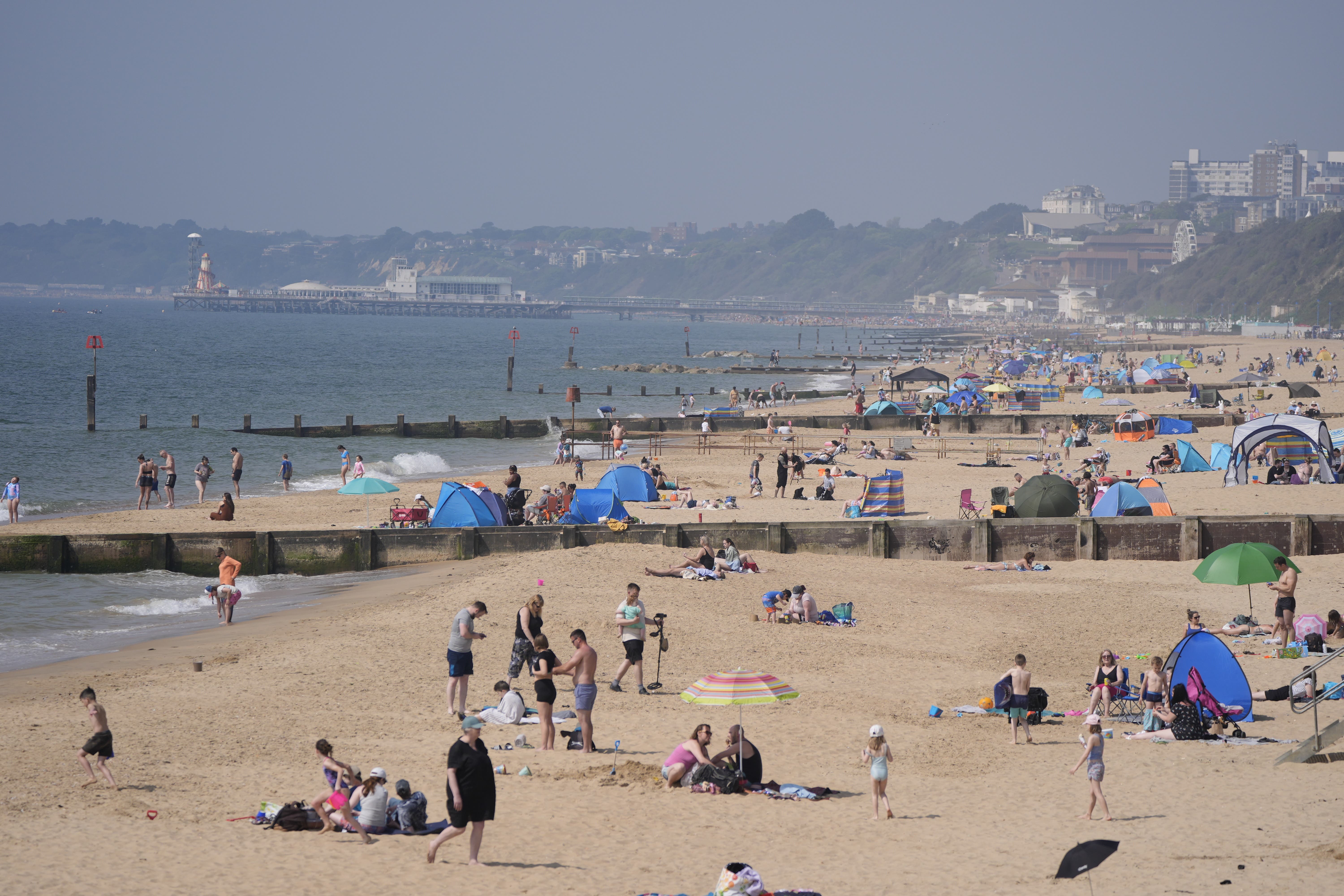
Hottest day of the year so far but fine weather to end on Sunday
Temperatures peaked at 25.9C in Herstmonceux, East Sussex.

Saturday was the warmest day of the year so far, and Sunday is likely to be even hotter, before thunderstorms and heavy rain put an end to a week of sunshine, the Met Office has said.
Temperatures peaked at 25.9C in Herstmonceux, East Sussex, and in northern Scotland a temperature of 25.7C was recorded in Cassley.
Gogerddan in Wales saw 25.1C, while temperatures in Northern Ireland peaked at 23.8C in Magilligan.
Simon Partridge, a meteorologist at the Met Office, said the records were “not likely to last long” as forecasters expect it to be even warmer on Sunday.
He added: “The difference tomorrow is that it is not likely to be as warm for Northern Ireland, Wales or Scotland.
“The really warm air will probably be confined to southern and eastern parts of England, with temperatures expected to peak in central parts of the country at around 27C.”
Parts of the UK will be warm and humid on Sunday before thunderstorms and heavy rain in the afternoon.
There are three yellow thunderstorm warnings in place on Sunday.
One covers most areas of the west of the UK, including the majority of Wales, where thunderstorms are expected between midday and 10pm.
The second is for the western half of Northern Ireland between 11am and 7pm.
The third is for western parts of Scotland between 2pm on Sunday to 4am on Monday. Mr Partridge said this warning is slightly different as more significant rainfall is expected.
People in areas with a yellow warning should expect some disruption, especially to travel.
Spray and sudden flooding could lead to difficult driving conditions and there is a slight chance of power cuts, the Met Office said.
Temperatures climbed steadily over the week, with the previous record set on Thursday, with a peak of 24.6C in London’s St James’s Park.
The Royal Life Saving Society UK has warned that warmer weather is directly linked to an increase in fatal drowning incidents.
On Friday, 17-year-old Ronalds Abele died after getting into difficulty while swimming at the Embankment, in Wellingborough, and was pulled from the water by emergency services, Northamptonshire Police said.
He was pronounced dead in hospital.
Bookmark popover
Removed from bookmarks