Snow starts to fall across parts of UK with worst still to come
Dozens of schools have closed in northern England and north Wales and travel disruption is expected throughout the day.
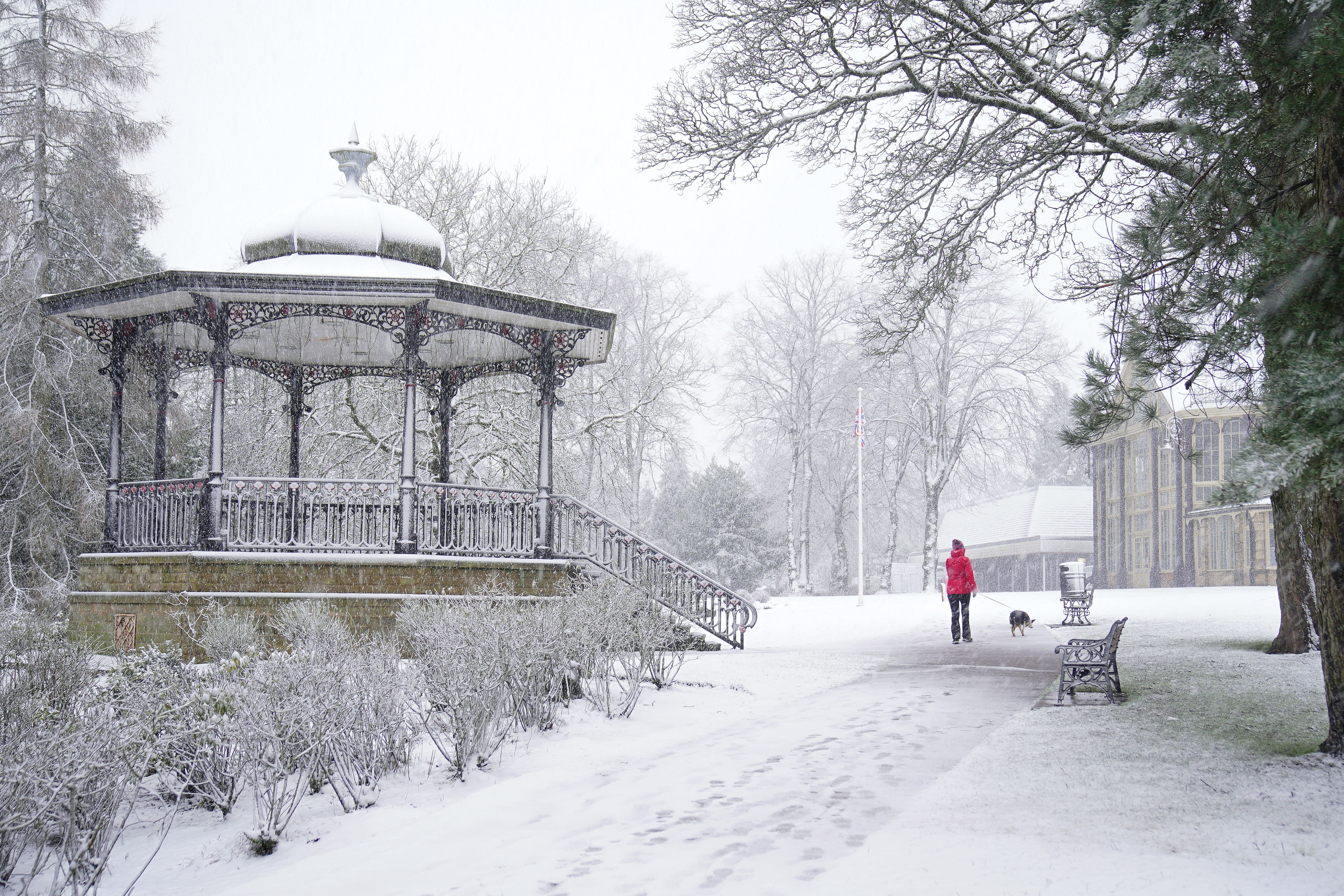
Snow has started to fall across parts of the UK with the worst still to come on Thursday, forecasters have said.
Dozens of schools have closed in northern England and north Wales and travel disruption is expected throughout the day.
Up to 25cm of snow is forecast in parts of England and Wales on Thursday as amber weather warnings have been issued for Wales and across the Pennines.
A mixture of yellow rain and snow warnings are in force across the four nations.
Met Office spokesman Oli Claydon said that overnight temperatures had reached a low of -18.8C in Altnaharra, in the Scottish Highlands, while in Plymouth temperatures were at a high of 11.9C.
He told the PA news agency: “This demonstrates the different air masses, hence the rain warning in the south while the colder air in the north leads to the risk of snow.”
The amber warning across the Peak District and south Pennines is in place from noon until 6pm on Thursday, with up to 25cm of snow forecast across high ground and 15cm of snow expected “quite widely”.
A separate amber warning for snow and ice will be in place between 8am and 3pm on Thursday across north Wales and north-west Shropshire, with 20-25cm of snow forecast in areas above 200 metres.
The Met Office said strong and gusty easterly winds may lead to “some drifting in places”.
A yellow rain warning covering much of southern England and south-east Wales – including London and Cardiff – has been issued from 2am on Thursday to 6am on Friday, with 15-25mm likely and up to 45mm on higher routes.
Mr Claydon said disruption had already been caused in Orkney, which had recorded 12cm of snow on Thursday morning.
He told PA: “The worst of the snow will be later on today. Through this morning and this afternoon you’re more likely to see accumulations.
“The snow risk tomorrow is moving much further north, and it will be a bit of a drier day.”
The UK Health Security Agency (UKHSA) has activated a cold health alert for the Midlands and north of England, warning of the impacts on health and social care until 8pm this evening.
School closures have been reported in Wales, Yorkshire, Derbyshire, Staffordshire and Cumbria.
Bookmark popover
Removed from bookmarks