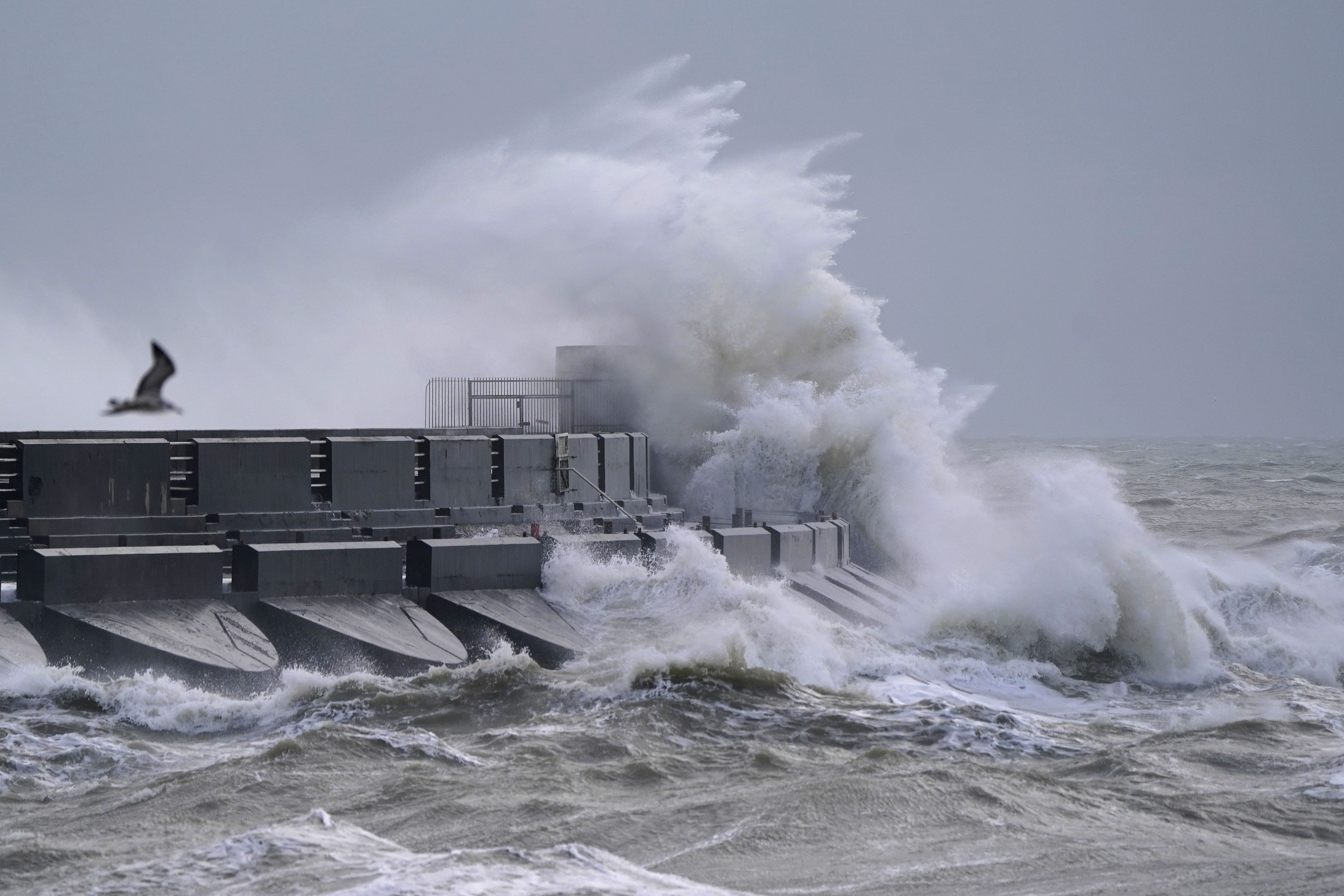
Storm Isha to batter whole of UK with wind and rain in ‘rare’ weather cycle
It is set to hit the country from Sunday afternoon.

Storm Isha is set to batter “everybody” in the UK with wind and rain during a “rare” weather cycle, forecasters say.
Winds of up to 80mph will swoop in later on Sunday, potentially causing power cuts and loss of mobile phone signal, while roads and bridges are likely to be shut and transport services could face delays and cancellations in some areas.
Nearly four inches of rain could fall over a few hours in some regions and cause localised flooding, with eight flood warnings already in place across England.
Met Office forecaster Ellie Glaisyer told the PA news agency: “The main thing about this storm is it is very widespread across the whole of the UK.
“Quite often we see storms affecting the north west or the southern half of the UK, whereas this one, later on Sunday and into Monday, the whole of the UK is covered by a warning, which is relatively rare.
“In that nature it’s a very widespread storm and it’s going to be affecting everybody. Heavy rain will affect everybody, those strong winds will affect everybody.
“That’s the main difference to previous storms we have seen.”
The Met Office has issued amber weather warnings for wind for northern and western England, Wales, Northern Ireland and parts of Scotland from Sunday into Monday.
Another one will come in across parts of Sussex and Kent during Monday morning.
Forecasters said there was a risk to life in coastal areas from large waves and debris being blown inland, as well as damage to buildings.
Yellow warnings for wind and rain will also come into force covering the rest of the UK over the two days – meaning flooding is likely.
They tell Britons to expect travel disruption, damage to buildings and flying debris, as southwesterly winds of up to 80mph could hit exposed coasts and there could be gusts of up to 60mph inland.
East Midlands Railway said it expected “significant disruption” on Sunday and Monday and delays and alterations to services, while Police Scotland advised people to avoid unnecessary travel.
The heaviest downpours may occur on Sunday as 30-50mm could fall in many places – and there is potential for peaks of 80-100mm over hills.
Ms Glaisyer said: “Anybody driving on Sunday evening and through Monday should be wary of water on the roads, lots of spray, perhaps some branches and trees may have fallen over causing roads to be blocked.
“There’s some large waves as well that could cause disruption to ferry services and the strong winds could cause some delays to trains and plane travel.”
However, warmer temperatures will replace the recent snow and sub-zero chills felt of late, with highs of 13C possible on Sunday.
A yellow wind warning will then be in place from Tuesday afternoon until midday on Wednesday, covering Northern Ireland, north Wales, northern England and much of Scotland.
It says people should expect travel disruption, power cuts, damage to buildings and large waves, with gusts of 45-55mph likely inland, but there is the potential for 60-70mph winds.
Storm Isha is the ninth named storm to hit the UK since the season began in September.
Each storm is named when it poses a risk to people and they are given names beginning with consecutive letters of the alphabet.
The record number of named storms in one year is when the Met Office began the practice in 2015/16, with Storm Katie being the 11th and final storm of the season.
If there are three more named storms between next week and August, this year will mark a new record.
Cold Arctic air pushing south into North America is making the jet stream more active, the Met Office said, and because it flows from west to east, it is bringing stormier weather to the UK.
Bookmark popover
Removed from bookmarks