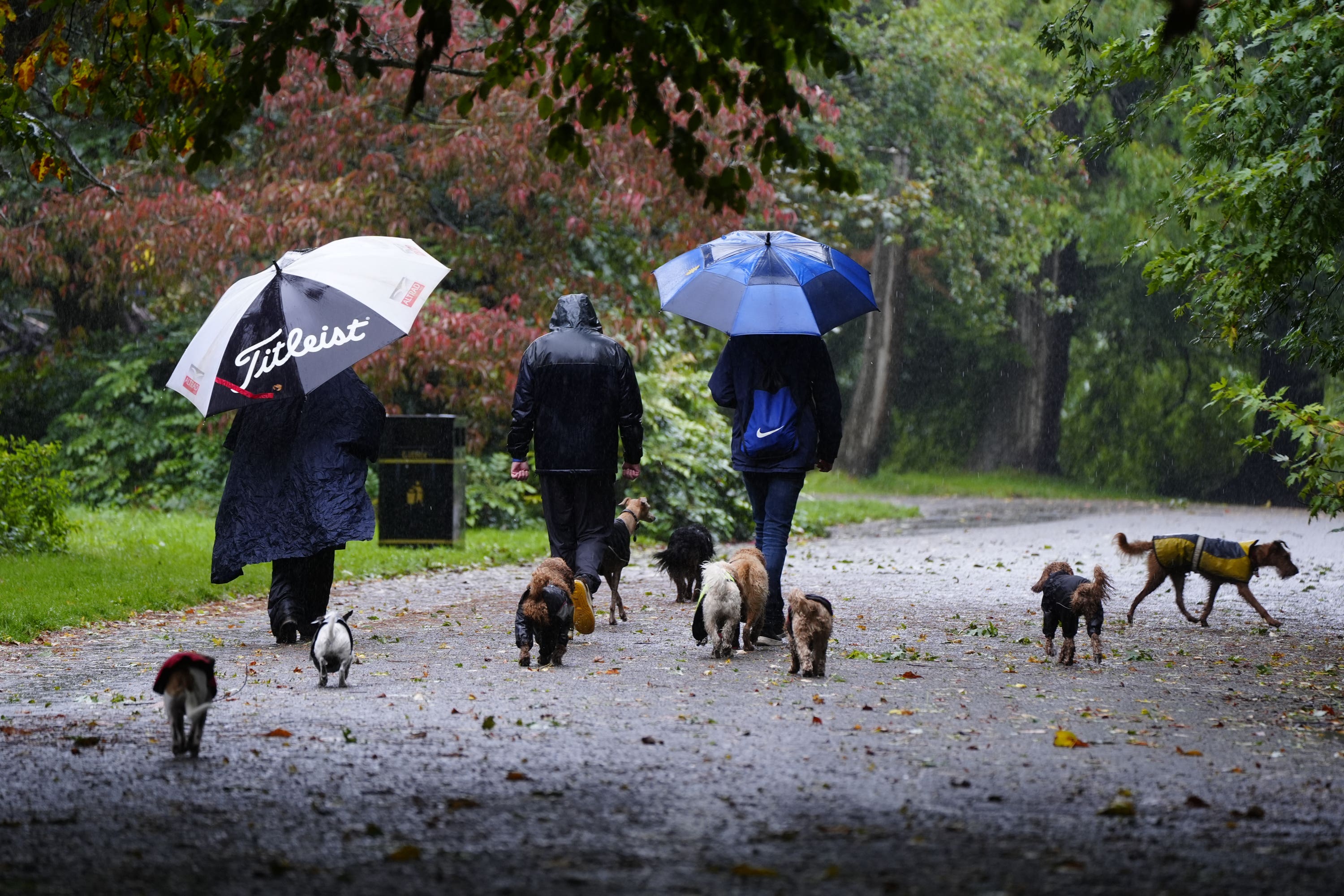
More rain as nation set for unsettled week and colder temperatures
Met Office meteorologist Alex Deakin said Tuesday looks set to be ‘a mix of sunshine and showers’.

Met Office meteorologist Alex Deakin said Tuesday looks set to be “a mix of sunshine and showers, but probably more showers”.
It comes after thundery showers on Monday brought big downpours in some places, surface water on the roads and lightning and hail as an extra hazard, he said.
Overall it was “not pleasant” in places such as southern England, parts of south Wales and the Midlands before the heavy showers were due to drift northwards and ease overnight, the forecaster said.
Periods of heavy rain may hit parts of south-east Scotland and north-east England later on Tuesday through to Wednesday and weather warnings are possible until mid-week as rain falls on already wet ground, according to the Met Office.
Mr Deakin, in an online forecast said a bright start could be expected for some on Tuesday but heavy showers are expected over Wales and southern England.
He said: “There is an area of low pressure just generating the showers and pushing northwards.
“Also there is this band of thick cloud sitting over northern England, Northern Ireland and southern Scotland for much of the day with outbreaks of rain.
“Northern England should brighten up but then showers will move in here too.
“Not quite as damp over northern Scotland as it has been through Monday but still staying pretty grey here with those winds coming down from the north, that is going to bring a chill.”
It will see temperatures struggling to get much above 10-12C but it will feel colder with the wind.
It may be brighter between the showers further south where temperatures could pop up, 18-19C is possible ahead of more downpours and a gusty wind blowing across the south coast of England and into southern parts of Wales.
The rest of the week looks unsettled, with less heavy and widespread rain and showers affecting most areas at times.
Temperatures are set to dip from Wednesday in the north with all areas experiencing below average temperatures from Thursday.
Night frosts are expected for some regions, and snow is possible for the higher mountains of Scotland, the Met Office said.
Bookmark popover
Removed from bookmarks