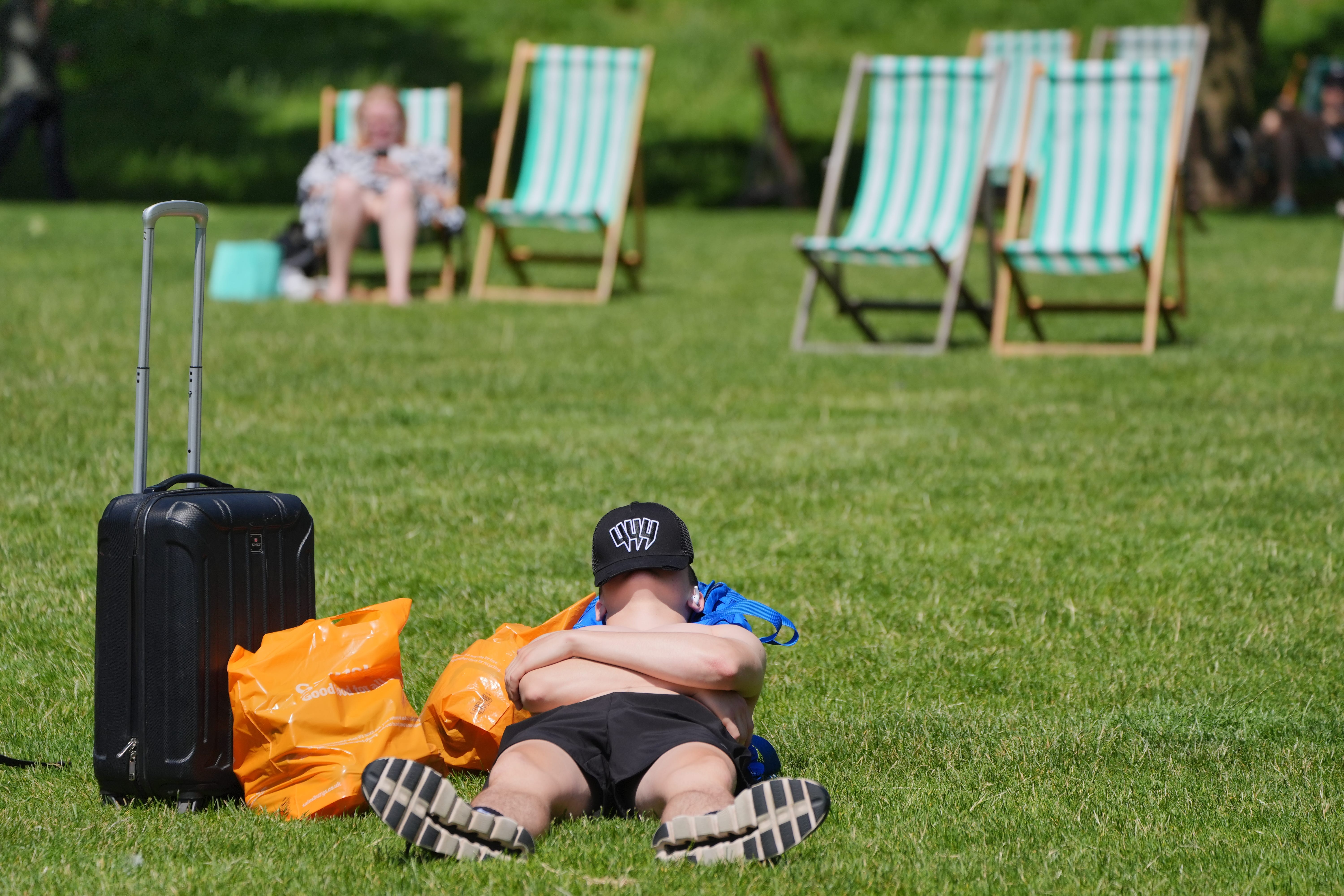
Temperatures to drop after hottest day of the year
The mercury reached 31.9C at St James’ Park, central London, on Friday making it the warmest recorded day of 2024.

The hottest day of the year will be followed by clouds and cooler weather, the Met Office has said.
The mercury reached 31.9C at St James’ Park, central London, making Friday the warmest recorded day of 2024.
The AA advised routes to the coast will be far busier than usual this weekend as families flock to take advantage of the hot weather.
Brighton and Bournemouth, on the south coast, have already experienced heavier traffic because of day-trippers, it added.
However, temperatures are unlikely to reach the high 20Cs for “at least a week or so” now, a Met Office forecaster said.
Clouds will return on Saturday and higher temperatures will be restricted to the east and south east of England, which could still see 28-29C.
Heavy rain and bursts of thunder are forecast to hit Wales and south-west England on Saturday, and thunderstorms may develop in the East and South East.
Sunday will be fresher, brighter, drier, and will mainly stay around the low 20Cs, which is the July average.
By Monday, the weather will be changeable but the week ahead will largely be dry.
Met Office meteorologist Tom Morgan said temperatures could rise again “right at the end of July”.
He said it is too early to tell if the mercury will top Friday’s reading, but “I certainly wouldn’t rule out a higher temperature in August or even later this month”.
There will be “occasional very warm or hot spells” in August but there is “no strong signal” that high temperatures will be prolonged or widespread across the UK, he added.
East and south-east England have already seen “almost double” the rainfall expected for the whole of July, Mr Morgan said.
“I think that’s why a lot of people have welcomed the last couple of days, but Scotland and Northern Ireland have not see the high temperatures that the rest of the UK have seen – they’re still waiting if they do like hot weather.”
The AA recommended that road users travelling in the heat put a sun shield over the back windows, have iced water in the car, try to leave their vehicles in the shade and use a windscreen shade when parked.
On Thursday, the Health and Safety Authority (HSA) urged employees to protect themselves from ultraviolet (UV) radiation.
It suggested employers conduct a risk assessment for “potential UV hazards”, encourage breaks, and that staff wear clothing such as wide-brimmed hats to protect them from the Sun.