Met Office issues amber warnings for snow and ice on Thursday
Up to 25cm of snow is forecast across the Peak District and the southern Pennines.
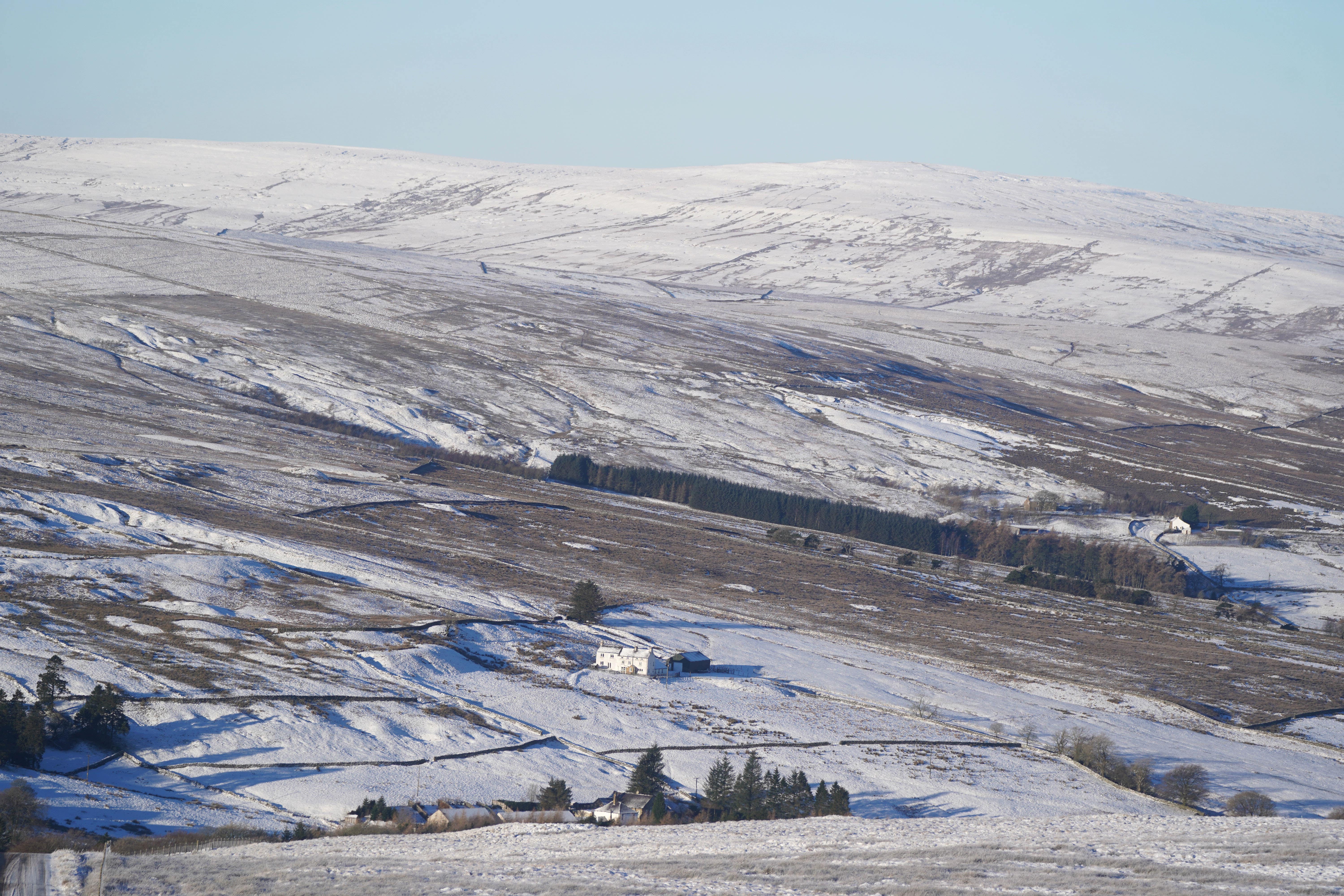
Amber weather warnings for snow have been issued for parts of northern England and North Wales on Thursday.
Up to 25cm of snow is forecast across the Peak District and the southern Pennines, with a warning in force from noon until 6pm.
A separate warning for snow and ice is in place between 8am and 3pm across North Wales and Shropshire.
The Met Office said an amber warning means travel delays on roads were likely; public transport vehicles and cars could be stranded; power cuts were possible; rail and air travel delays were likely and rural communities stood a “good chance” of being cut off temporarily.
In the area covered by the snow and ice warning, the Met Office said untreated pavements and cycle paths could be impassable.
Yellow warnings are also in place from 6am on Thursday to 6pm on Friday for potentially disruptive snow across northern Wales, northern England and the Midlands, as well as in Northern Ireland from 10am on Thursday until 6pm on Friday, though disruption here is expected to be more localised.
Met Office chief meteorologist Jason Kelly said: “Cold across most areas away from the south of the UK will be met by moisture-laden air spreading from the south.
“Where milder air encounters cold air, rain, sleet and snow will develop, bringing the risk of 2-5cm of snow in places, whilst some other areas see little or no snow.
“Over higher ground 5-10cm is likely, while locations above 200m within the amber warning areas could see up to 25cm of snowfall. Snow here could drift in strong to gale force easterly winds.
“As the milder air from the south gradually pushes northwards the focus for wintry hazards also shifts northward with warnings issued for Scotland.”
Drivers are being warned to prepare for potentially difficult journeys.
Chris Wood, from the AA, said: “If you need to travel, reduce your speed to account for the conditions and leave plenty of space behind other vehicles, and try to use main roads where possible as these are more likely to have been gritted.
“Allow extra time, as it’s likely your journey will take longer than usual, and ensure you have plenty of fuel or electrical charge if driving an electric vehicle (EV).
“The cold snap is likely to affect vehicle breakdown levels, with faults such as flat batteries and wiper faults.”
Bookmark popover
Removed from bookmarks