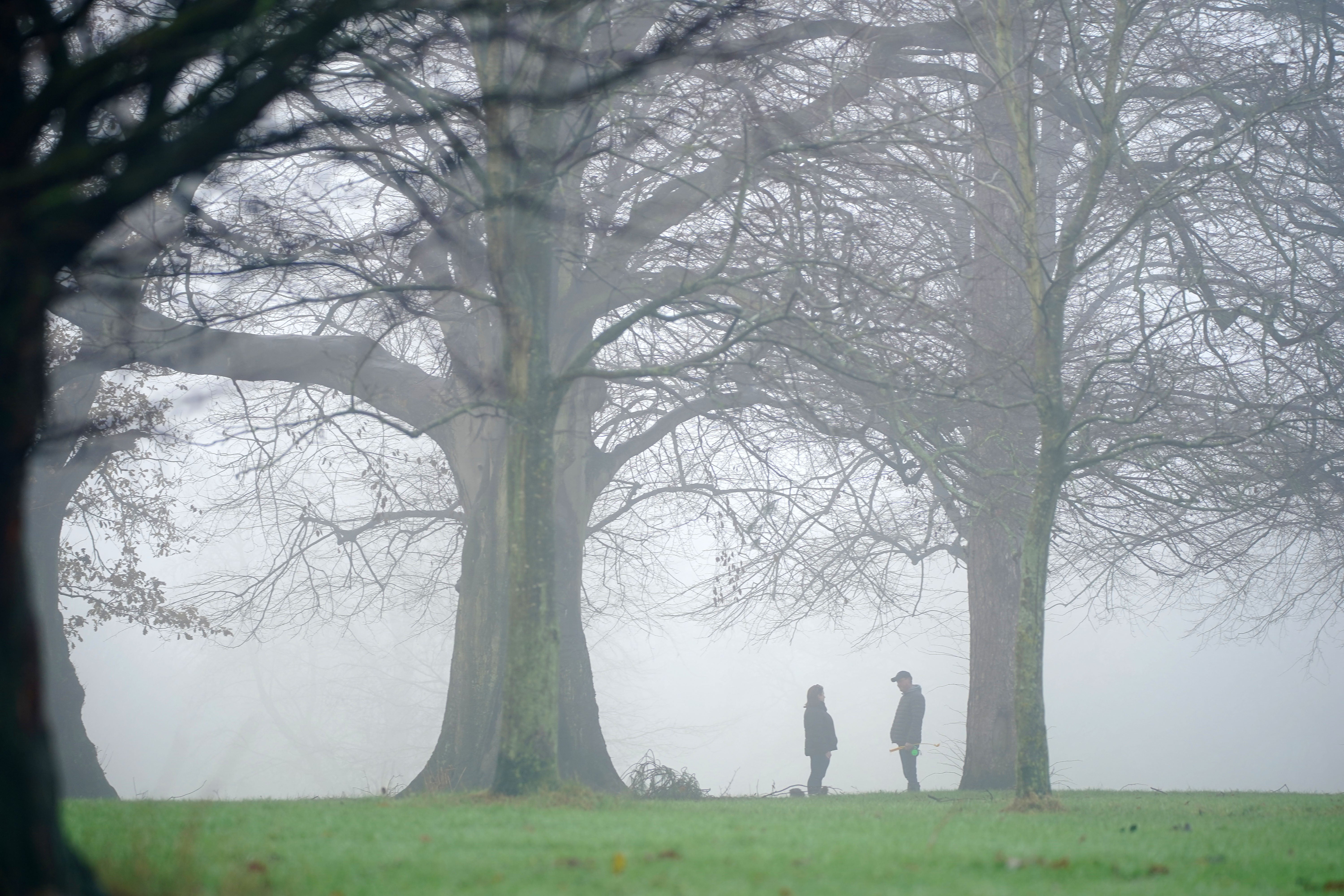
Mild and wet Christmas expected across UK with slim chance of snow
The Met Office said specific locations for a potential white Christmas cannot yet be forecast.

Your support helps us to tell the story
From reproductive rights to climate change to Big Tech, The Independent is on the ground when the story is developing. Whether it's investigating the financials of Elon Musk's pro-Trump PAC or producing our latest documentary, 'The A Word', which shines a light on the American women fighting for reproductive rights, we know how important it is to parse out the facts from the messaging.
At such a critical moment in US history, we need reporters on the ground. Your donation allows us to keep sending journalists to speak to both sides of the story.
The Independent is trusted by Americans across the entire political spectrum. And unlike many other quality news outlets, we choose not to lock Americans out of our reporting and analysis with paywalls. We believe quality journalism should be available to everyone, paid for by those who can afford it.
Your support makes all the difference.A white Christmas is possible for northern parts of the UK but the rest of the country should expect wet and mild weather.
Any snow that falls on Christmas Day will come on higher ground in northern England such as the Pennines or Scotland.
The Met Office said specific locations for snow are still unclear as the boundary between where cold and milder air will be – and therefore which areas might see snow – is still uncertain.
On December 25, London will see temperatures averaging at 10C, compared to an average of 5C in Glasgow with the Scottish city seeing possible lows of 3C and highs of 6C throughout the afternoon.
Northern England will also be mild, with average temperatures of 5C-6C in Manchester and Leeds and a chance of rain.
The normal average temperature for the end of December for the entire UK is 7C, although it is lower in Scotland at 5C.
Wales will also experience mild weather on Christmas Day, with a little rain expected and a very small possibility of light hill snow.
A Met Office spokesperson said: “What’s happening now is we’ve got some warmer air coming in from the south-west, but we’ve still got this cold pool of air over the north and over Scotland.
“Because the high pressure has moved out of the way, it allows these systems to move in from the south-west so we are going to see bands of weather fronts bringing some rain.
“For much of the country it looks like Christmas Day will see some rain showers, and some heavier bursts mixed in, but overall a mild showery day.”
These mild temperatures mean there is little risk of frost and ice across most of the UK, and any rainfall will be short-lived and unlikely to cause any disruption.
There is a risk of fog across southern parts of England and Wales on Christmas Eve which could affect travel, but this will be clear by Christmas Day.