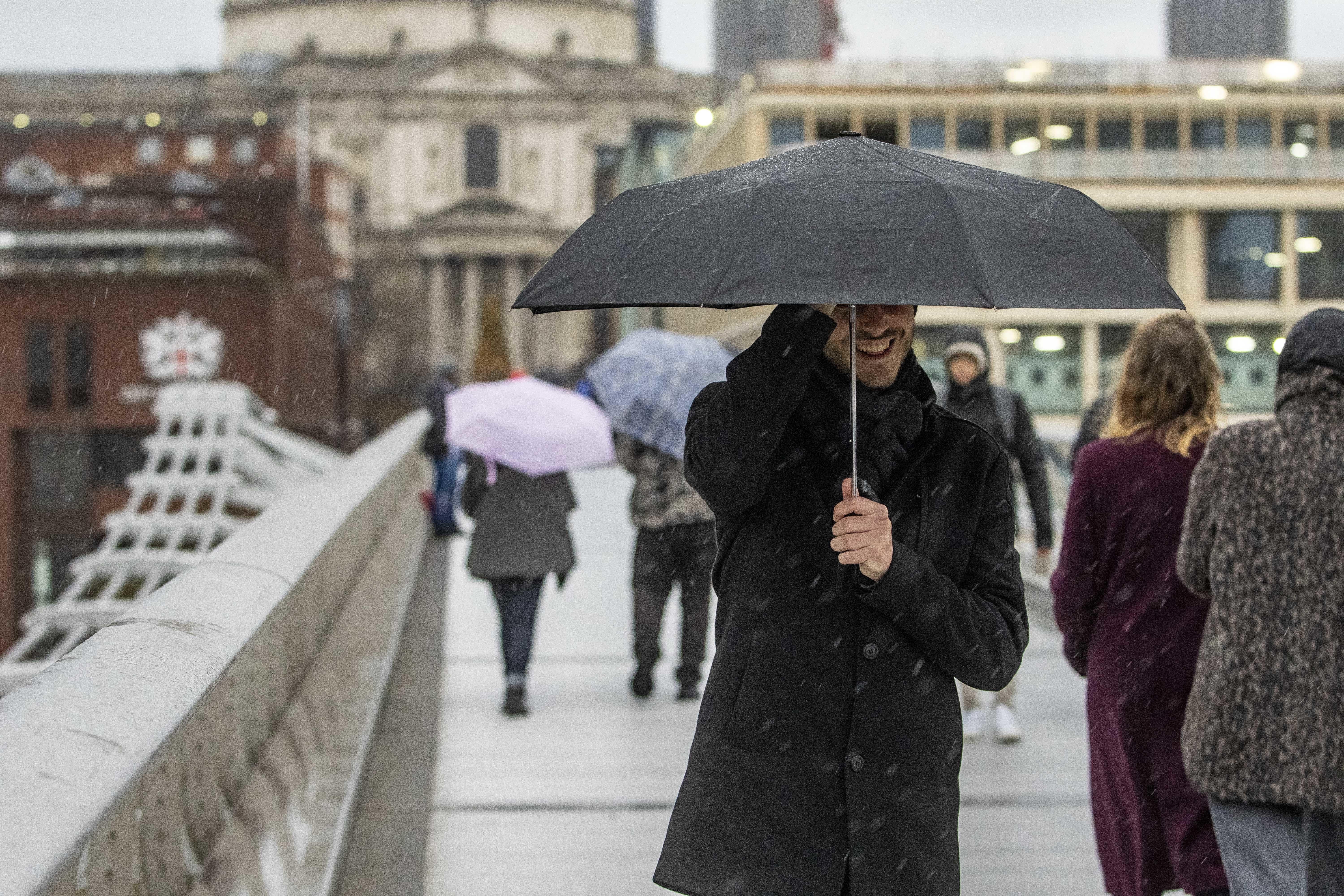
New Year’s Eve revellers urged to wrap up warm as temperatures plummet
The weather is expected to remain unsettled with strong winds, heavy rain and ‘close to freezing’ conditions throughout the last weekend of 2023.

New Year’s Eve revellers have been urged to wrap up warm as conditions across many parts of the UK could feel close to freezing as the clock strikes midnight.
The weather is expected to remain unsettled with further strong winds and heavy rain throughout the last weekend of 2023.
A yellow weather warning for wind covering parts of Wales and the east of England has been issued and will come into force between 11am on Saturday and 3am on Sunday.
A spell of strong and gusty winds will move east across England and Wales, bringing some disruption to travel and services, the Met Office said.
A yellow weather warning for rain has been issued covering Wales between 10am and 6pm on Saturday, which may lead to flooding and transport disruption.
A yellow weather warning for rain will also come into effect at 4am on Saturday for Northern Ireland, due to be in force until 11am the same day.
The fresh warnings come on the heels of a gusty few days brought on by Storm Gerrit.
Hundreds of homes in Scotland remain without power as the post-storm clean up begins, but electricity bosses are “very confident” that the remaining 750 properties will be reconnected on Friday.
Thousands of properties in Ceredigion were without power on Thursday after lightning struck supplies in Wales.
The Met Office said its Irish counterpart, Met Eireann, could name another storm – Storm Hank – as a “deep area of low pressure” pushes strong winds across the Republic of Ireland on Saturday.
Meteorologist Alex Burkill said Saturday is going to turn “wet and windy” across the UK with a band of “intense rain” pushing its way eastwards and north-eastwards to bring a risk of gales and possibly “severe gales” in exposed spots.
In a forecast video, Mr Burkill said northern areas as well as high ground areas in Scotland are likely to see “significant snow”, with possibly 10 to 20cm of snow building up on the highest grounds.
“There’s a potential for some snow accumulations, even as low as perhaps 100m up, we could see some slushy snow, so likely to see some travel disruption again, because of the wind, the rain and some snow like we’ve seen over some recent days,” he said.
Blustery and showery conditions are set to continue into Sunday, with the heaviest and most frequent rainfall across western parts of the UK.
The mercury is expected to drop on Sunday.
Although it hasn't been particularly chilly recently, when you factor in those strong blustery winds, it's going to feel close to freezing for many places
Mr Burkill said: “As we look towards the end of the day on New Year’s Eve, and the blustery showery theme does continue, some of those showers should start to ease as we head towards midnight.
“So perhaps a bit more drier weather around, some clearer skies but do watch out for those showers and you will also want to wrap up quite warm because although it hasn’t been particularly chilly recently, when you factor in those strong blustery winds, it’s going to feel close to freezing for many places.
“So definitely a chilly feel to things as the clock strikes midnight.”
New Year’s Day should turn drier for many, particularly across more central southern parts of England and across Scotland with the “central slice” of the UK most likely to have showery rain.
“As we look through the rest of the first week of 2024 and at the moment Tuesday looks like it’d be a largely dry day with some fine weather around before the return to something more unsettled – some heavy rain, some strong winds, and that does bring the potential for something a little bit colder and possibly wintry,” Mr Burkill said.
Three men died after their 4×4 vehicle was submerged in the River Esk, near Glaisdale, on Thursday, North Yorkshire Police said.
A “supercell thunderstorm” that moved across the northwest of England on Thursday after a similar storm is thought to have resulted in a tornado that damaged around 100 homes in Stalybridge, in Tameside, Greater Manchester, on Wednesday.
Damage will be covered by standard property insurance policies, the Association of British Insurers has said.
ScotRail said many lines have been reopened but urged passengers to check for the latest information before travelling, a message echoed by LNER, Avanti West Coast and London Northwestern Railway who suspended or cancelled services due to damage or system faults.
Friday will see significant disruption for travellers wishing to travel on the London Euston and Watford Junction lines with services expected to be up and running by the end of the day.
In Wales, the aftermath of the recent severe weather will see rail services hampered until Monday.
Bookmark popover
Removed from bookmarks