Flooding could hit UK as yellow weather warnings for rain issued by Met Office
The first warning will cover parts of north-west and south-west England, Wales and the West Midlands.
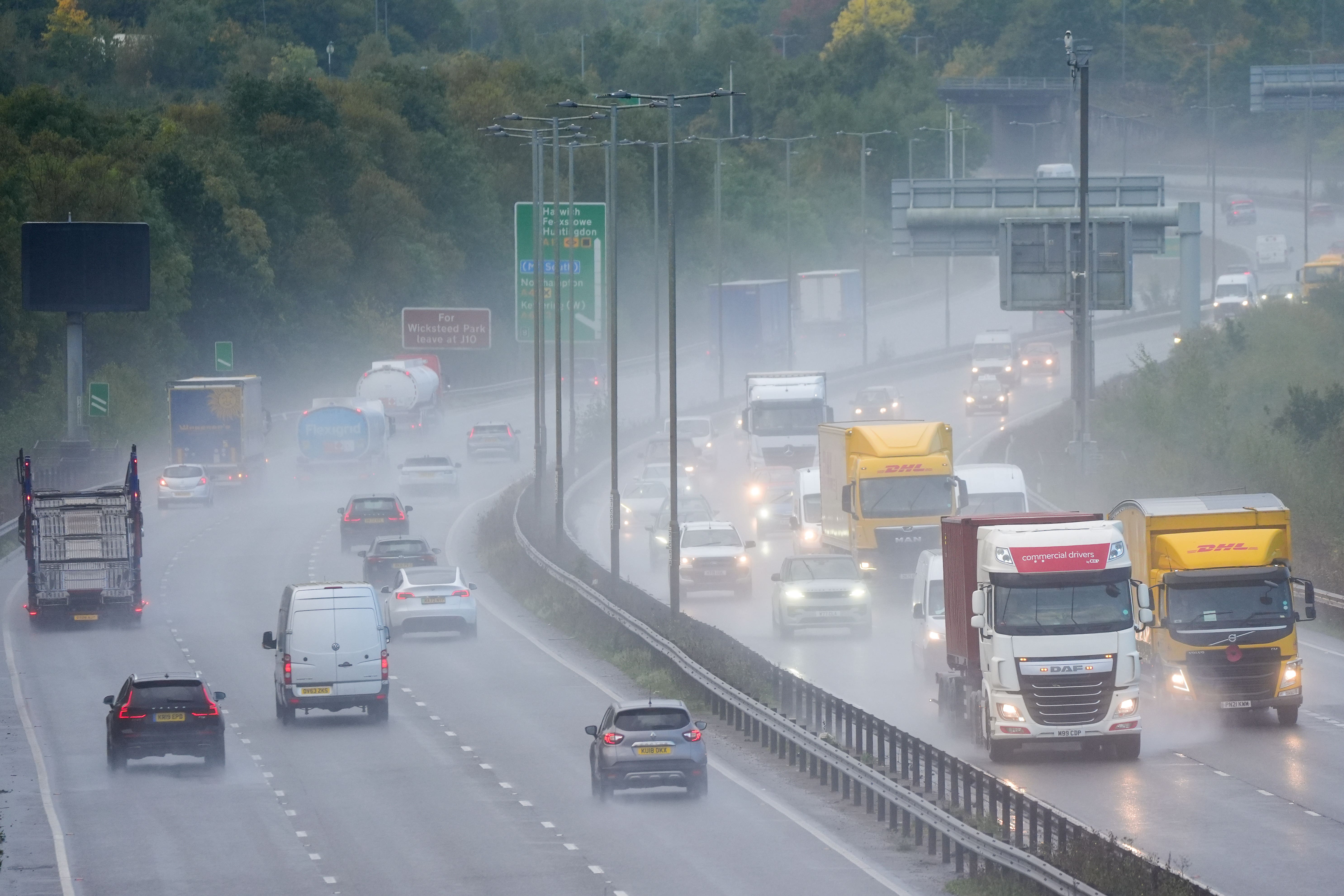
The Met Office has issued yellow weather warnings for rain which may lead to travel disruption and flooding over the next two days.
The first will stretch from Plymouth and reach as far north as Manchester, covering parts of north-west and south-west England, Wales and the West Midlands.
It will be in effect from 6pm on Tuesday until midday on Wednesday, with many areas seeing around 10 to 20mm of rain. Some places may see 50 to 80cm of rain fall in six hours, according to the forecaster.
Areas of heavy rain are expected to develop and push north across the warning area. Rain will develop in south-west England late afternoon, before becoming heavier and expanding north on Tuesday evening and overnight into Wednesday.
The Met Office said isolated thunderstorms are also possible in the south of the warning area, with lightning an additional hazard.
A second weather warning for rain will come into effect on Wednesday in Northern Ireland from midnight to 6am across parts of County Armagh and County Down.
Rain is expected to push north across much of Northern Ireland during Tuesday evening and overnight, clearing from the south on Wednesday morning.
According to the Met Office, the heaviest rain is likely to be across south-eastern areas, where 20-30mm is likely widely. Some high ground of South Armagh and South Down, and particularly the Mournes, could see 50-80mm.
The forecaster warned spells of heavy rain could lead to travel disruption and flooding in places.
There is also a slight chance of power cuts and a small chance that some communities could be cut off temporarily by flooded roads.
Residents have been advised to check if their properties could be at risk of flooding and, if so, to consider preparing a flood plan and emergency flood kit.
Zoe Hutin, a meteorologist at the Met Office, told the PA news agency: “The main regions that will be affected (by the first warning) are central Wales, South Wales, parts of the South West of England and pushing as far north as Cheshire and Manchester.
Given some areas have already had a fair amount of rain in the past six weeks and it's been a particularly wet season so far... this rainfall is not going to help with any bodies of water that are higher than usual for this time of year
“It will be from Manchester all the way down to Plymouth. Everywhere in that region is likely to see 10 to 12mm, but there are a few places that could see considerably more, potentially up to 80mm of rain in six hours.
“At the moment it’s difficult to say exactly where. The most prone spots will be the most central areas of the warning but it could be anywhere within that region. Those most prone to flooding will also be affected, particularly if they are low-lying.”
The warnings come after heavy rainfall caused widespread flooding across the UK in September and early October.
Some counties of England saw their wettest September on record, receiving three times the normal rainfall, and Oxfordshire and Bedfordshire had their wettest months ever – although the rain came after a drier than normal summer for much of the UK.
Ms Hutin said: “The land has had a chance to dry so it’s not like we’re holding on to excess flood water from previous rain events. But given some areas have already had a fair amount of rain in the past six weeks and it’s been a particularly wet season so far, particularly in central England, this rainfall is not going to help with any bodies of water that are higher than usual for this time of year.”
In Northern Ireland, the rural areas of the south east are expected to see the most rainfall.
Ms Hutin said: “There’s not a huge population in this part of Northern Ireland so it’s not going to be too impactful to a huge proportion of people.
“But it is a bit of land that is particularly susceptible to flooding, so while the rainfall may not be particularly (large) – we’re generally expecting 20 to 30mm – the area is quite low and reasonably marshy which means this amount of rain will have a greater impact on this region.
“But some high grounds could see up to 50 or 80mm which is fairly high for a six to 12-hour window.”
Bookmark popover
Removed from bookmarks