UK battered by 84mph gusts and rain after major incident declared over flooding
More than 30 flood warnings are in place across England.
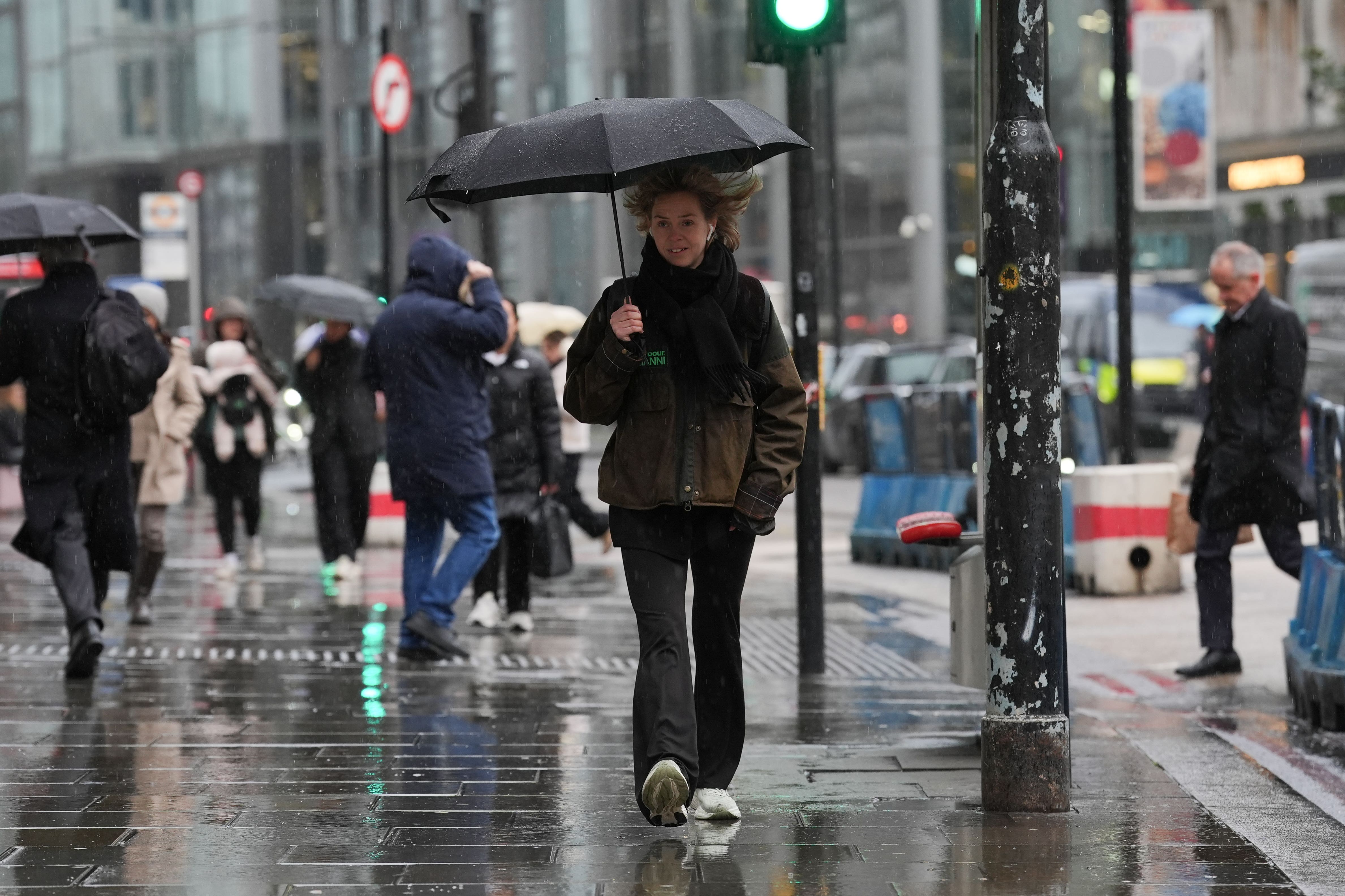
Gusts of 84mph and almost 60mm of rainfall have battered parts of the UK after a major incident was declared in Somerset due to flooding.
More than 100 people in the worst affected areas of Somerset have been evacuated from their homes, with more than 30 flood warnings in effect across England as the UK recovers from Storm Eowyn.
A series of weather warnings are in place to cover the potential impacts from the less powerful Storm Herminia, a low pressure system named by meteorologists in Spain, which is expected to feel the strongest winds.
Somerset Council and police jointly declared a major incident in the region which was still in force on Monday evening.
A council spokesman said: “Following intense rainfall across the region at the weekend, several parts of Somerset were flooded on Sunday afternoon, including roads and some homes in the centre of Chard and Ilminster.
“With further heavy rainfall expected to fall in the early hours of Monday morning, a major incident was called and a decision was made to carry out precautionary evacuations for residents living in properties in the worst affected areas, as well as a caravan site thought to be at risk.
“Rest centres were set up in Chard, Ilminster and Somerton, and all the relevant agencies will continue to work to keep residents safe.”
Somerton Fire Station said 61 people were rescued from flooded properties, including from a mobile home site in Charlton Adam, and temporarily relocated to Edgar Community Hall.
Local MP Sarah Dyke appealed for available first aiders to make their way to the hall and for suppliers of portable beds and bedding to get in touch.
A yellow alert for rain was issued by the Met Office covering parts of southern England until 10am on Tuesday, warning of heavy rain, possible thunderstorms and flooding.
Another yellow warning for rain is in place until 9pm on Tuesday covering large swathes of Wales and parts of the West Midlands.
And a yellow wind alert is in force until 6am on Tuesday for southern England and parts of Wales.
Since the weather warning period began on Sunday morning until 4pm on Monday, the highest rainfall recorded was 59.4mm in Seathwaite in Cumbria, while the second highest was 56.4mm in Goren Farm in Devon, the Met Office said.
On Monday, winds of 84mph were recorded on the Isle of Wight, with 77mph in Aberdaron in Wales and 74mph on the Isles of Scilly, the forecaster added.
Met Office meteorologist Marco Petagna said the rain warnings are suggesting further flooding is possible until Tuesday evening.
He said: “The trend over the next few days is for things to gradually improve a bit.
“These warnings for rain are suggesting further flooding is quite possible, especially within the warning area.
“On Wednesday and Thursday it will be mostly fine, there’s a small chance the far south of England see some further rain moving in, which we’re keeping an eye on.”
Scotland is recovering from the effects of Storm Eowyn, which brought winds of 100mph to Drumalbin in the eleventh highest maximum gust since the Met Office started naming storms in 2015.
ScotRail’s service delivery director Mark Ilderton said Network Rail have responded to more than 500 separate incidents across the entire rail network, including removing over 120 trees that fell onto the railway.
“I’m really pleased that as of this morning the majority of our routes have now reopened,” he said in an update on Monday morning.
“There are still a number of other lines of route that require further repairs.”
Avanti West Coast said services to and from Glasgow and Edinburgh had resumed, but warned of late starts and possible delays on Scottish routes.
Around 56,000 customers remained without electricity across Northern Ireland on Monday afternoon, according to Northern Ireland Electricity Networks, while Northern Powergrid reported around 500 customers remaining without power on Monday evening.
Steve McDonald, director of field operations for Northern Powergrid, said: “We know how hard it is to be without power, and I’m sorry that some of our customers have had to manage for three nights without it. We will not stop until everyone is back on.
“Our welfare teams will still be out in the communities most affected today and we’ll ensure there are hot food vans and additional support for those who need it most.”
The company also announced those without power in Durham and Northumberland can use council leisure centres to freshen up or have a hot drink.
Bookmark popover
Removed from bookmarks