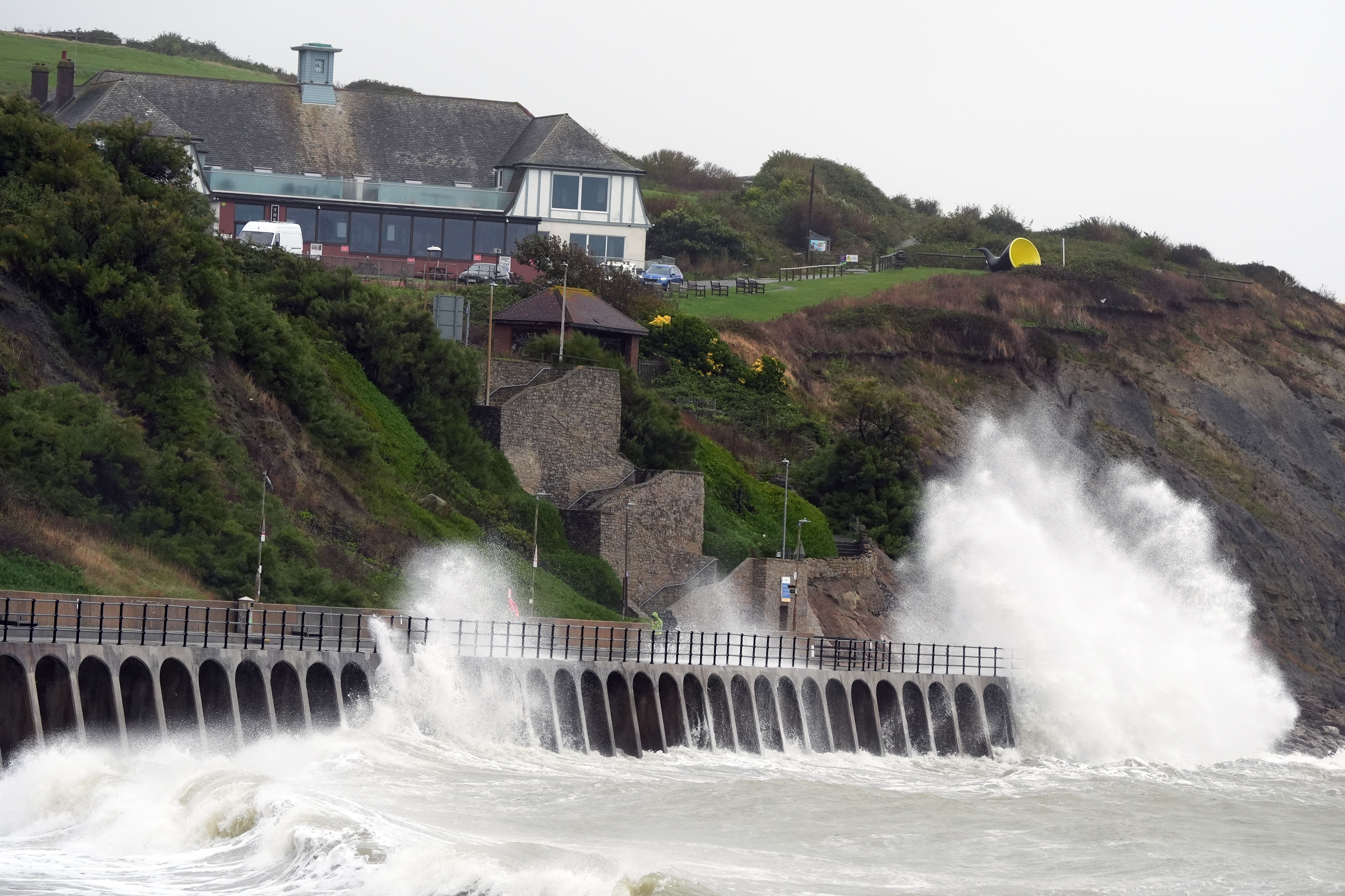
More flooding possible as two fresh warnings for heavy rain come into force
Two new yellow rain warnings will come into force on Monday.

Heavy rain is set to continue as two fresh weather warnings come into force on Monday, potentially bringing more flooding and travel disruption.
Yellow rain warnings have been issued by the Met Office – meaning there is a chance of flooding and travel disruption – one covering eastern England between 8am on Monday and 3am on Tuesday, and the other across North Wales and north-west England between 00.30am and 8pm on Monday.
Both new warnings forecast 20-40mm of rainfall widely, with 60mm also possible in a few places across North Wales and north-west England and 60-80mm in some areas in eastern England, the Met Office said.
Met Office meteorologist Liam Eslick said they are expecting some “pretty heavy persistent rain” across North Wales and north-west England and North Wales will get the brunt of the rain.
The higher grounds in eastern England will see the most rainfall, with areas including Northamptonshire and Bedfordshire seeing less but already being saturated by recent heavy rain, he added.
It comes after a wet and windy Sunday with over an inch of rain falling – 26.1mm – in Bastreet, Cornwall, and winds of 69mph recorded in Berry Head, South Devon, the Met Office said.
Two yellow warnings, for wind and rain, came into force on Sunday and hit areas already saturated by downpours earlier in the week.
Sunday’s rain warning is covering much of southern England and South Wales and continues until 9am on Monday.
The Environment Agency had 32 flood warnings, indicating flooding is expected, and 98 flood alerts, where flooding is possible, in place across England on Sunday evening.
Mark Garratt, flood risk manager at the Environment Agency, said rain expected will bring a risk of surface water flooding in large parts of the South West and southern England, spreading up into the Midlands, and later, flooding in parts of Leicestershire is also possible.
He said: “It is especially important that people not to drive though flood water – it is often deeper than it looks and just 30cm of flowing water is enough to float your car.
“Across the country, Environment Agency teams have been out checking flood defences and clearing any debris from storm drains and are also supporting local authorities in responding to surface water flooding. “The advice to the public is to keep checking their flood risk, and search ‘check for flooding’ and to sign up for free flood warnings on the latest situation or follow @EnvAgency on X for the latest flood updates.”
Meanwhile, a yellow warning for wind which was issued across south-west England and Wales ended at midnight on Sunday.
It comes after areas across England suffered heavy rain and localised flooding in recent days, with commuters facing widespread disruption on road and rail services.
According to the Met Office, some counties in southern and central England have already had more than 250% of their average September rainfall.
About 650 properties were flooded in Bedfordshire, Northamptonshire and the home counties, according to the Environment Agency, which estimated about 8,200 properties had been protected.
By Tuesday night, higher pressure will move in, meaning a drier, sunnier spell, the forecaster said.
Mr Eslick added: “Come Tuesday night, into Wednesday, we’re starting to see higher pressure, so turning a lot drier and plenty of sunny spells.
“But the following weekend, it does look like there’s a further low pressure coming in, but we’re still keeping an eye on that.”
Bookmark popover
Removed from bookmarks