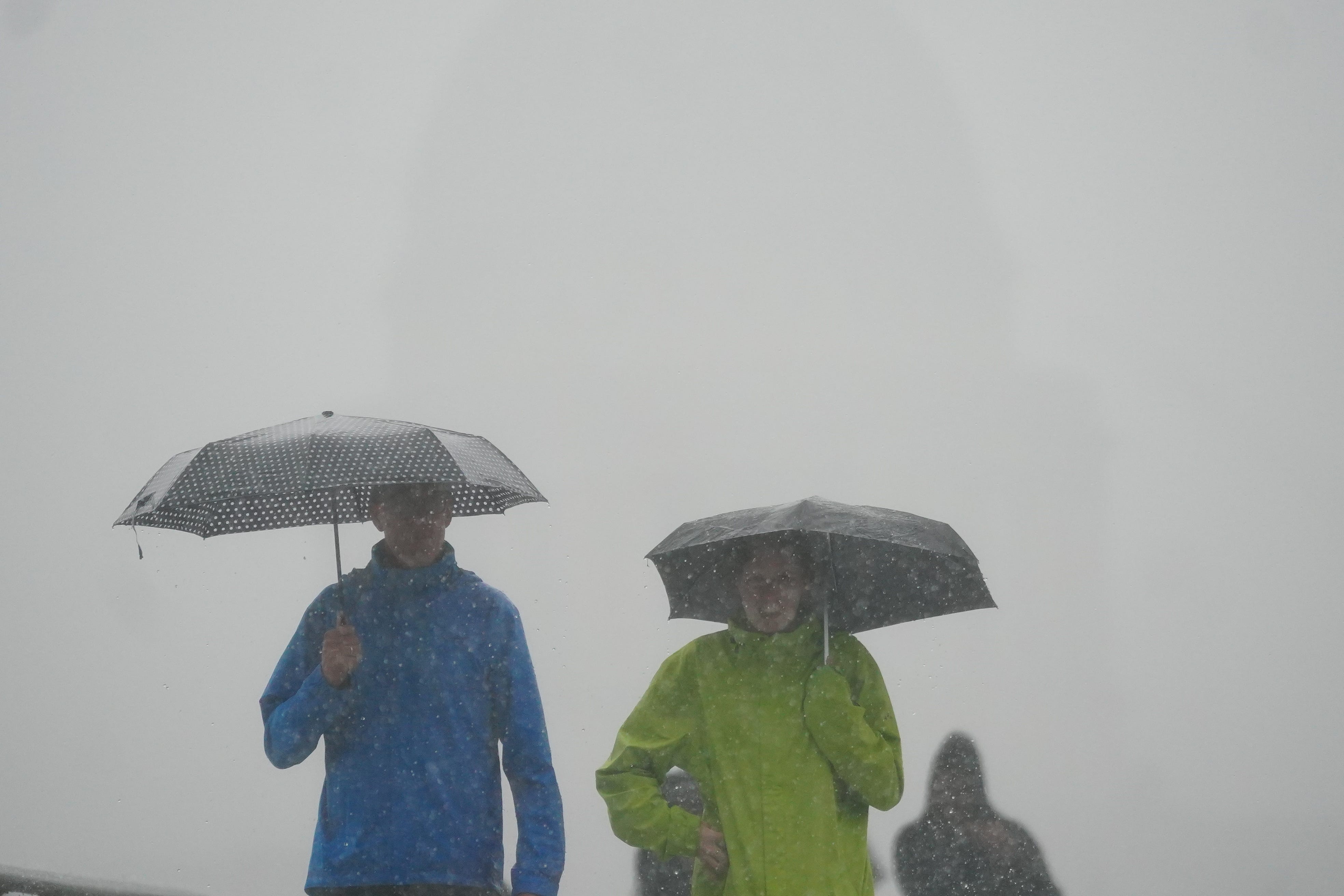
Wet and windy start to November for parts of UK
Yellow weather warnings for wind and rain are in place until 8am on Tuesday.

Your support helps us to tell the story
From reproductive rights to climate change to Big Tech, The Independent is on the ground when the story is developing. Whether it's investigating the financials of Elon Musk's pro-Trump PAC or producing our latest documentary, 'The A Word', which shines a light on the American women fighting for reproductive rights, we know how important it is to parse out the facts from the messaging.
At such a critical moment in US history, we need reporters on the ground. Your donation allows us to keep sending journalists to speak to both sides of the story.
The Independent is trusted by Americans across the entire political spectrum. And unlike many other quality news outlets, we choose not to lock Americans out of our reporting and analysis with paywalls. We believe quality journalism should be available to everyone, paid for by those who can afford it.
Your support makes all the difference.November got off to a wet and windy start as parts of the UK felt the effects of a storm in France.
Gusts of more than 70 miles per hour were expected in some coastal areas of England as strong winds hit southern coasts on Tuesday morning with the fallout of Storm Claudio.
Southern and western areas of the country were forecast to face blustery winds and frequent heavy rain showers.
The Met Office has a yellow weather warning in place for wind for the south until 8am on Tuesday, warning the weather could risk causing disruption.
Storm Claudio’s move eastwards on Tuesday is expected to leave in its wake a showery day for much of the UK, with Wales and areas in southern and central England predicted to see the most frequent rainfall, the Met Office added.
A yellow warning for rain is in place until 8am across much of England and parts of Wales.
Neil Armstrong, chief meteorologist, said: “The biggest impacts from Storm Claudio are expected in northern France, which is why it has been named as a system by Meteo-France.
“What it means for us in the UK is for some high winds to be possible along much of the southern coast of England.
“Some isolated and especially exposed coastal areas could see gusts in excess of 70mph, while much of the warning area will see gusts of between 50 and 60mph.”
Conditions are unlikely to improve by midweek as low pressure moving in from the west is forecast to bring wet and windy weather.
The Met Office said winds are likely to be strongest along Irish Sea coastal areas, including western Wales, north-west England and south-west Scotland, as well as the east coast of Northern Ireland.
It has issued a yellow weather warning for wind on Wednesday from the morning until the early evening.
Deputy chief meteorologist Steven Keates said: “Within the warning area, gusts are expected of between 55 and 65mph.
“This is associated with low pressure moving towards the north-west of the UK, which is bringing with it some heavy rain on Wednesday, especially across parts of south-west Scotland, Cumbria and western Wales, although much of the UK will see some rain through the day.
“In addition to high winds in the warning area, many parts of the UK will experience strong and gusty winds, at least for a time, during Wednesday.”
The windy weather comes after the UK enjoyed above-average temperatures as October came to an end, with the mercury reaching the low 20s in some parts resulting in balmy conditions for this time of year.