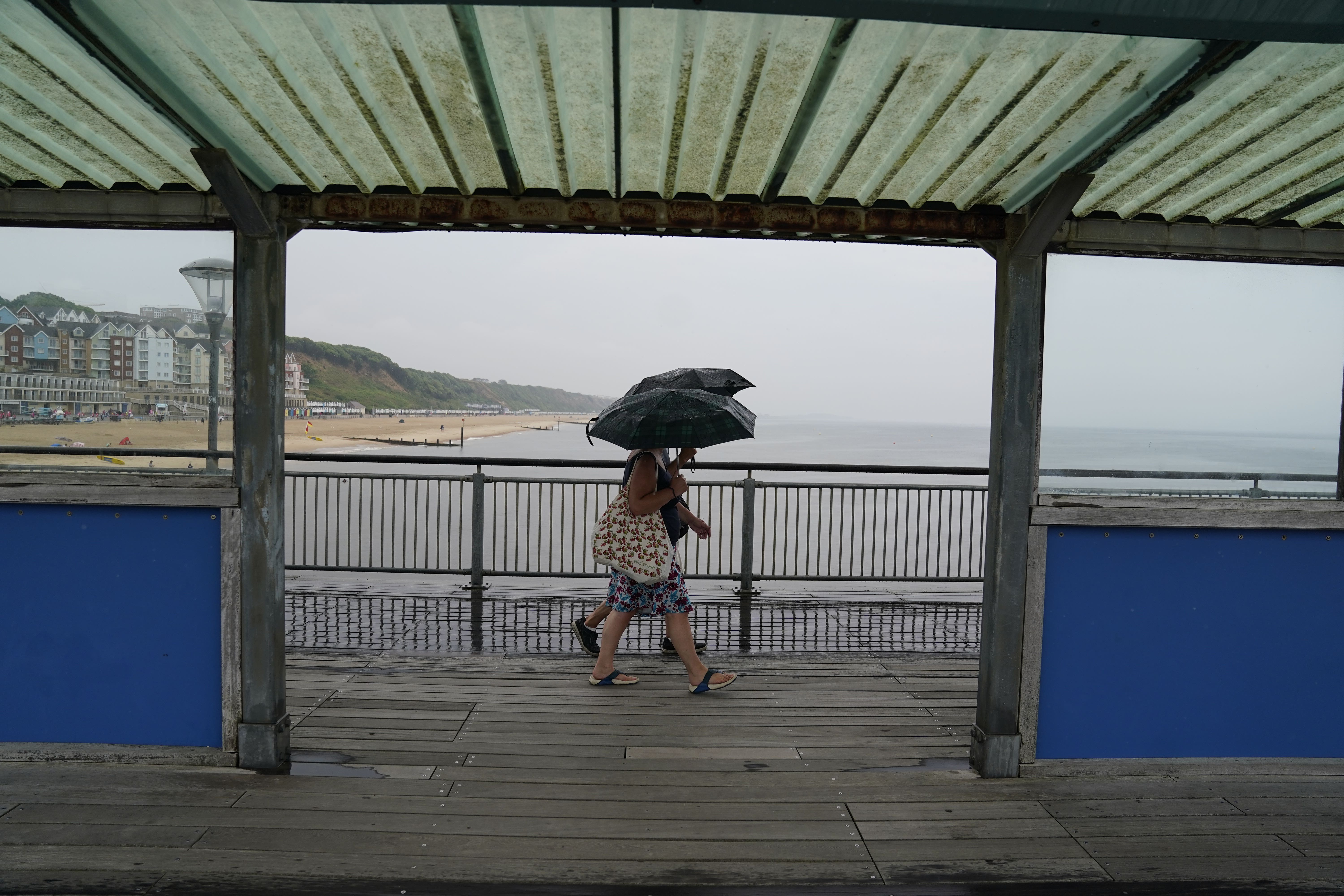
Amber thunderstorm warning for rain, lightning and hail
The Met Office issued the warning on Monday and it will stay in force until 7pm.

Your support helps us to tell the story
From reproductive rights to climate change to Big Tech, The Independent is on the ground when the story is developing. Whether it's investigating the financials of Elon Musk's pro-Trump PAC or producing our latest documentary, 'The A Word', which shines a light on the American women fighting for reproductive rights, we know how important it is to parse out the facts from the messaging.
At such a critical moment in US history, we need reporters on the ground. Your donation allows us to keep sending journalists to speak to both sides of the story.
The Independent is trusted by Americans across the entire political spectrum. And unlike many other quality news outlets, we choose not to lock Americans out of our reporting and analysis with paywalls. We believe quality journalism should be available to everyone, paid for by those who can afford it.
Your support makes all the difference.The Met Office has issued an amber thunderstorm warning as parts of the UK are set to be battered by heavy rain, lightning, hail and strong winds.
The warning came into force on Monday as the forecaster said power cuts and flooding of homes, businesses and roads, as well as delays and cancellations to train and bus services, are “likely”.
Driving conditions could also become difficult and some communities could be temporarily cut off if roads flood, the Met Office added.
The warning, which covers parts of Leicester, Birmingham, Worcester, Gloucester and Oxford, will be in place until 7pm on Monday.
Met Office meteorologist Alex Deakin said the Midlands, Wales and parts of northern England are most likely to see thunderstorms.
He added that parts of northern and western Scotland and Northern Ireland could also have “torrential downpours”.
The Environment Agency has issued 14 flood alerts across the Midlands, saying heavy, thundery showers could produce large amounts of surface water.
Meanwhile, a yellow weather warning is still in place for thunderstorms and rain from 12pm to 9pm on Monday, covering parts of Scotland, Northern Ireland, much of southern England, Wales, and the Midlands and including London, Manchester and Bristol.
Meteorologist Grahame Madge urged people in warning areas to prepare themselves.
He said: “Within the area we are advising that people might want to think about how suddenly they can be subjected to flash flooding or a power cut. Are people prepared? Make sure mobile phones are charged and that sort of thing.
“Because when you get these storms they can change your circumstances quite dramatically within almost a matter of minutes.”
Mr Madge said that heat rising from freshly ploughed fields or over a city area could trigger thunderstorms even when nearby areas remain dry.
Flash flooding can occur in a few minutes.
Urban areas can be vulnerable to flash flooding as the rain hits surfaces such as pavements which cannot absorb heavy downpours, leaving it to flow into drains or roads.
Underpasses can also fill quickly and drivers could face flood water on roads.
Higher temperatures are concentrated in the North, with Manchester, Leeds, and Keswick, Cumbria, between 30C and 31C, while south-central England remains in the high 20s, with London and Cambridge both reaching between 27C and 28C.
Further thunderstorms may be possible in the first half of the week, with fresher conditions and temperatures slightly decreasing towards Thursday and Friday.
However, the sunny weather is staying with most parts of the country and forecast to remain above 24C and 25C throughout the week, and potentially reaching 29C in Bristol and Birmingham over Wednesday and Thursday.
Cooler air from the North Sea will reach parts of the UK on Thursday and Friday, particularly areas along the North Sea coast and the East of England.