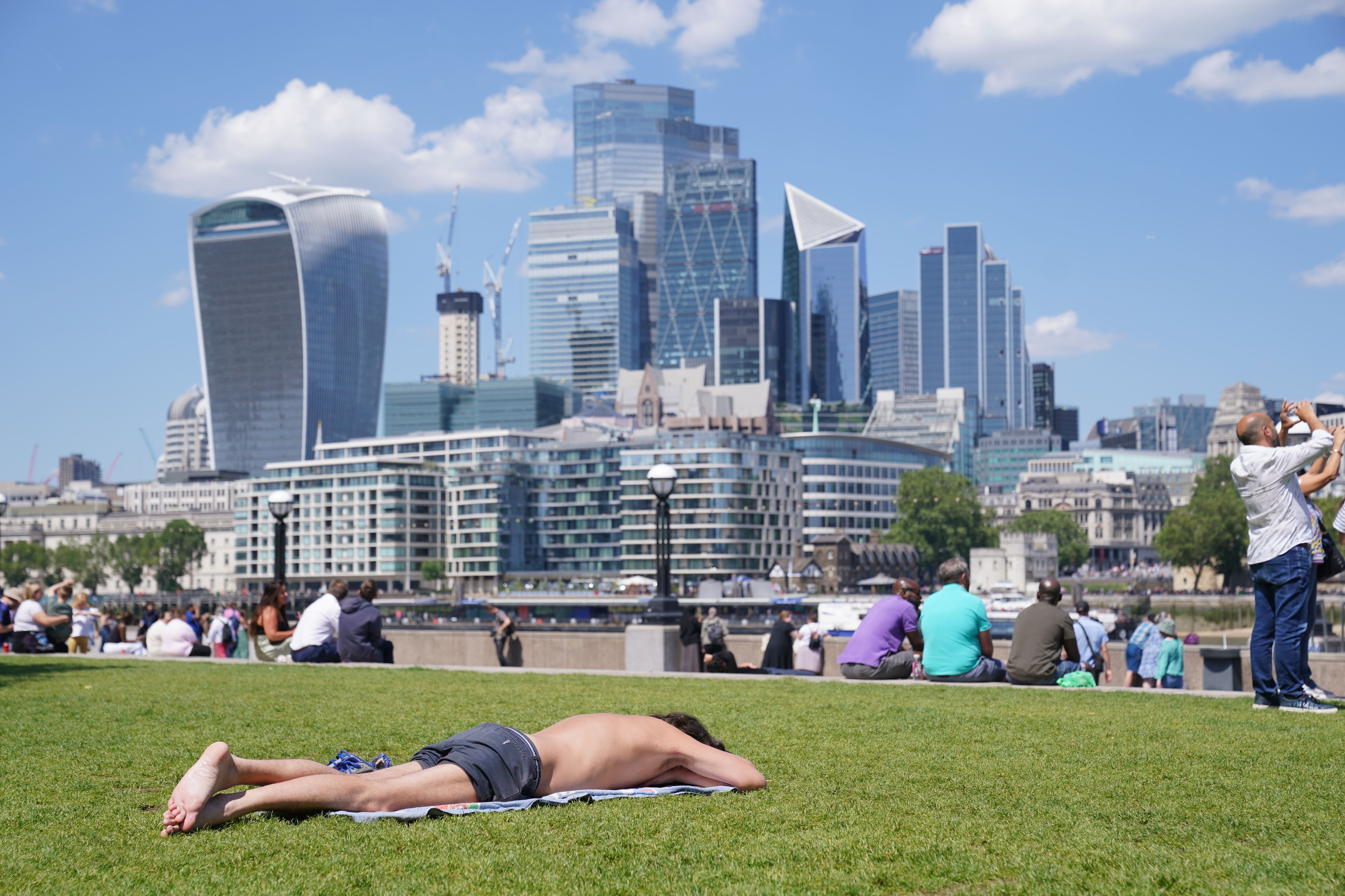
Parts of UK may be hotter than Los Angeles next week as 30C temperatures move in
High pressure is set to build from the middle of the week, meaning south-east England could reach 32C on Friday.

Your support helps us to tell the story
From reproductive rights to climate change to Big Tech, The Independent is on the ground when the story is developing. Whether it's investigating the financials of Elon Musk's pro-Trump PAC or producing our latest documentary, 'The A Word', which shines a light on the American women fighting for reproductive rights, we know how important it is to parse out the facts from the messaging.
At such a critical moment in US history, we need reporters on the ground. Your donation allows us to keep sending journalists to speak to both sides of the story.
The Independent is trusted by Americans across the entire political spectrum. And unlike many other quality news outlets, we choose not to lock Americans out of our reporting and analysis with paywalls. We believe quality journalism should be available to everyone, paid for by those who can afford it.
Your support makes all the difference.Tropical air could make parts of the UK hotter than California at the end of next week with temperatures possibly soaring past 30C, after heavy rain lashes the country.
High pressure set to build from the middle of the week means south-east England could reach 32C on Friday, according to the Met Office – higher than the 26C predicted for Los Angeles.
However, it will come after most of the country sees heavy and persistent rain from Sunday evening and into Monday.
A weather warning could be imposed for parts of North Wales, with two inches of rain set to fall on Monday, which is about half a month’s worth for the area.
Met Office forecaster Dan Stroud told the PA news agency: “We are looking at the possibility of reaching the low 30s later in the week, most likely on Friday, probably in and around London, running into East Anglia and other parts of the South and East.
“We’ve got low pressure dominating at the moment, that will eventually give way to another area of heavy rain and cloud which will move up from the South and West into Monday, which will be a miserable and wet day across England and Wales.
“Beyond that, there are tentative signs of an improvement, gradually losing that showery signal during Tuesday and Wednesday, and temperatures will start to climb.
“We’ve got high pressure building from the middle of the week and that will tap into some tropical continental air, which will draw up some very warm, locally hot air that will allow temperatures to climb steadily.
“By the time we get into Friday and maybe into Saturday we stand a chance of breaking into the 30s.”
Temperatures may also climb in other parts of the country on Friday, with much of England and Wales to surpass 25C, while Scotland and Northern Ireland could reach the low-to-mid 20s.
Many areas will be dry with sunny spells during the warm period, according to the Met Office, but there may be outbreaks of thundery showers.
Mr Stroud said the heat will be short-lived as low pressure will move back in, making next weekend more unsettled.