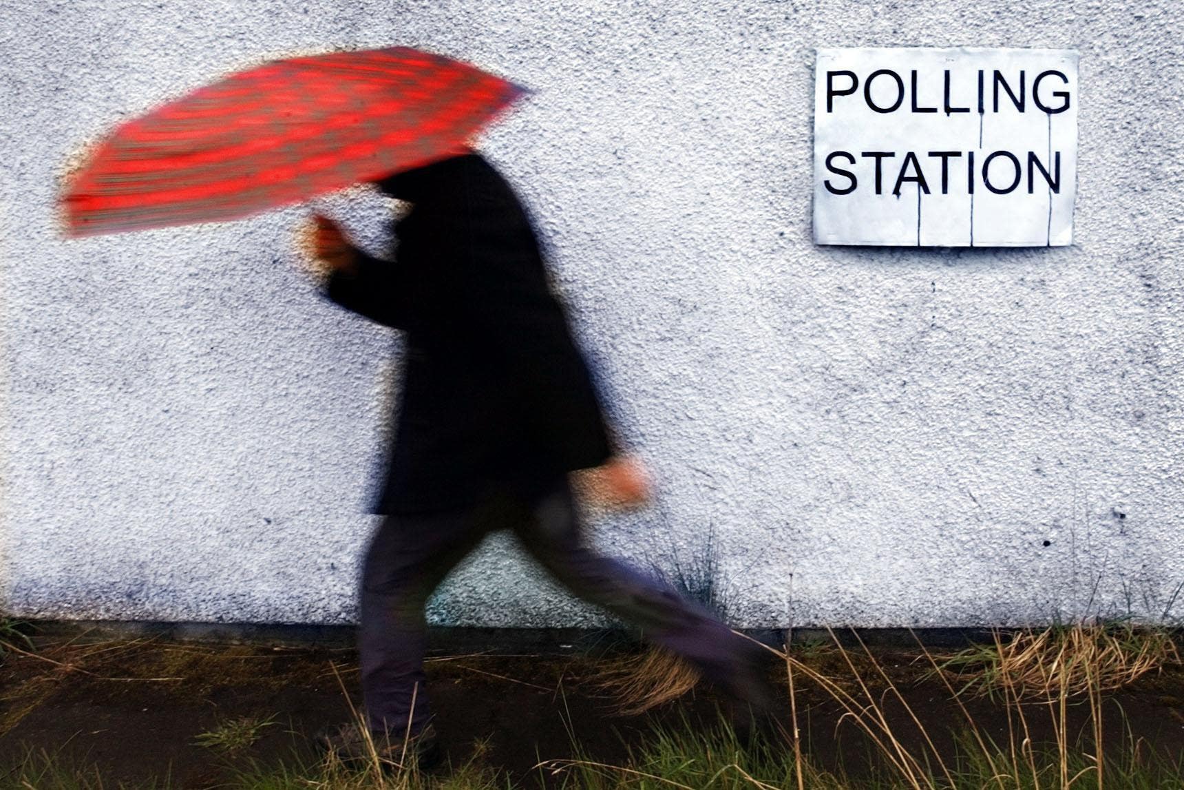
UK weather: Met Office says more rain to come as Britain awaits the return of summer
Outbreaks of rain expected across the country this week as summer heatwave continues to elude UK

Your support helps us to tell the story
From reproductive rights to climate change to Big Tech, The Independent is on the ground when the story is developing. Whether it's investigating the financials of Elon Musk's pro-Trump PAC or producing our latest documentary, 'The A Word', which shines a light on the American women fighting for reproductive rights, we know how important it is to parse out the facts from the messaging.
At such a critical moment in US history, we need reporters on the ground. Your donation allows us to keep sending journalists to speak to both sides of the story.
The Independent is trusted by Americans across the entire political spectrum. And unlike many other quality news outlets, we choose not to lock Americans out of our reporting and analysis with paywalls. We believe quality journalism should be available to everyone, paid for by those who can afford it.
Your support makes all the difference.Britons have been told to expect more wet and cold weather as they continue to yearn for the long-awaited return of summer.
Despite a brief appearance of sun at the end of June, temperatures last month were still around 2C below average, according to the Met Office. Many had hoped the heatwave conditions, which lasted around three days, would return quickly - but that does not appear to be likely any time soon.
Over the weekend, heavy rain and thundery conditions swept across the country leaving music fans at festivals and sporting fans at Wimbledon and Silverstone soaked.
Several weather alerts were also put in place across Scotland and England.

Similar weather is expected to continue into next week with temperatures staying below the seasonal average and “isolated thunder” expected at times.
The Met Office said thickening cloud and outbreaks of rain are likely to arrive across the southwest of the UK on Monday, heralding a spell of more widely unsettled conditions for most parts of the country.
Towards the end of the week, temperatures are likely to still be a little below average for the time of year, although some warmer conditions are possible in the southeast at times.

Experts have attributed the blustery weather over the past five weeks to northerly and northwesterly winds bringing cold Arctic air.
“With the jet stream firmly to the south of the UK and low pressure in charge, this weekend will be changeable and cooler than average,” the Met Office said.

Jet streams are caused by different areas of heat, with warm air to the southern side and cold air on the north, encompassing the UK.
A low-pressure centre developed over Scandinavia in the second week of June, pushing further cold air from the north across the UK, the forecasters said.
An active jet stream running fast for the time of year has also been driving unsettled weather, said forecaster Alex Burkill.
Met Offices five day outlook
Sunday:
Showers in the west will become more widespread through the day. Locally heavy and thundery in southern Scotland, northern England and east Wales. Sunny spells in between and light winds. Temperatures stay below the seasonal average.
Sunday night:
Showers fade for most, although a few continuing in the far north. Clear spells developing for many with light winds leading to some fog patches. Rain in the southwest later.
Monday:
Sunshine and showers across the northern half of the UK with isolated thunder during the afternoon. Drier further south with cloud and rain moving into the southwest. Breezy here.
Outlook for Tuesday to Thursday:
Remaining unsettled as low pressure tracks northwards through Tuesday and Wednesday. Turing more settled on Thursday but remaining cool for many, but a little warmer in the south.
Join our commenting forum
Join thought-provoking conversations, follow other Independent readers and see their replies
Comments