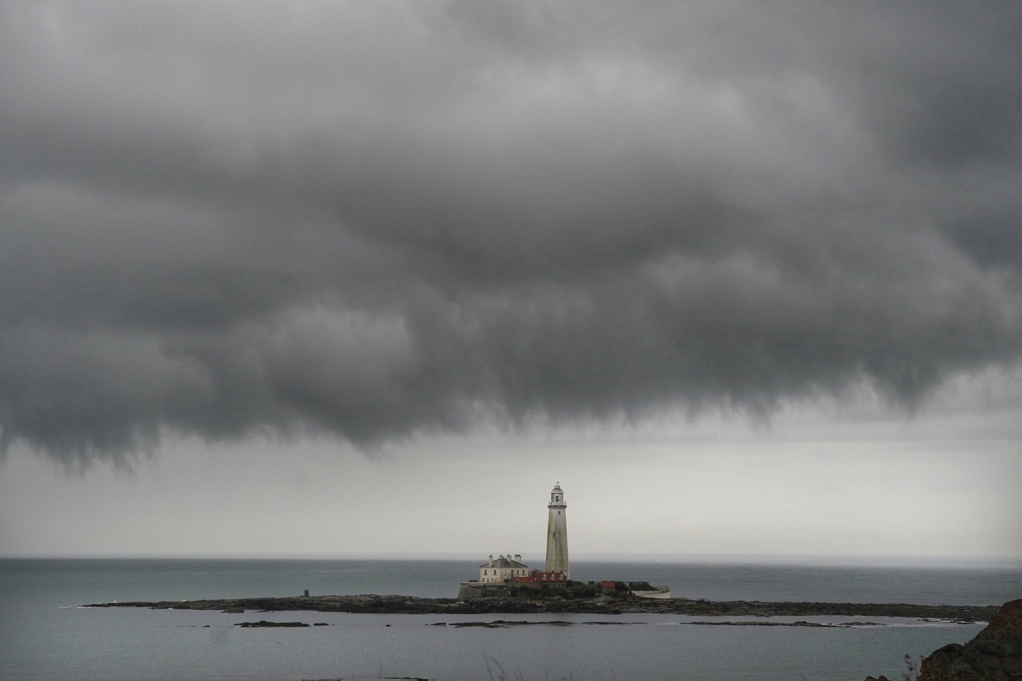
UK braced for 50mph winds and torrential rain as temperatures plunge in Arctic chill
Gloomy week could give way to bright Sunday – but not before heavy downpours
Your support helps us to tell the story
From reproductive rights to climate change to Big Tech, The Independent is on the ground when the story is developing. Whether it's investigating the financials of Elon Musk's pro-Trump PAC or producing our latest documentary, 'The A Word', which shines a light on the American women fighting for reproductive rights, we know how important it is to parse out the facts from the messaging.
At such a critical moment in US history, we need reporters on the ground. Your donation allows us to keep sending journalists to speak to both sides of the story.
The Independent is trusted by Americans across the entire political spectrum. And unlike many other quality news outlets, we choose not to lock Americans out of our reporting and analysis with paywalls. We believe quality journalism should be available to everyone, paid for by those who can afford it.
Your support makes all the difference.Heavy rain and high winds are headed for Britain later this week as an Arctic chill brings days of unseasonably cold weather.
Northerly winds have caused temperatures across the UK to plunge, with lows of 6C in many areas expected at night, several degrees below the early autumn average.
Met Office forecasters said the tail end of Hurricane Fiona, which made landfall in Canada last week, has also contributed to Britain’s cool start to the week.
Come Friday, commuters face a testing journey as heavy rain and high winds are expected to hit at morning and evening rush hours.
“Everywhere will see a few hours of heavy rainfall,” Becky Mitchell from the Met Office told The Independent.
Flooding is not forecast but “there will be a lot of surface water on the road, so take care if you're heading out”, Ms Mitchell said.
The rain will sweep in from the northwest and will be accompanied by strong wind gusts that will reach up to 50mph in coastal parts.

“We’ll get a spell of heavy rain across the whole country and that’s going to bring some strong winds ... it will be the windiest spell we've had so far this month,” Ms Mitchell said.
Due to the path of the weather front, northern and western areas will be most affected around the morning rush hour, while commuters in the south and east will suffer on the way home.
Another spell of rain is forecast across the country for Saturday, though it is expected to be brief and without high winds.
Sunday should be dry all over with temperatures pushing back up towards the seasonal average.


Join our commenting forum
Join thought-provoking conversations, follow other Independent readers and see their replies
Comments