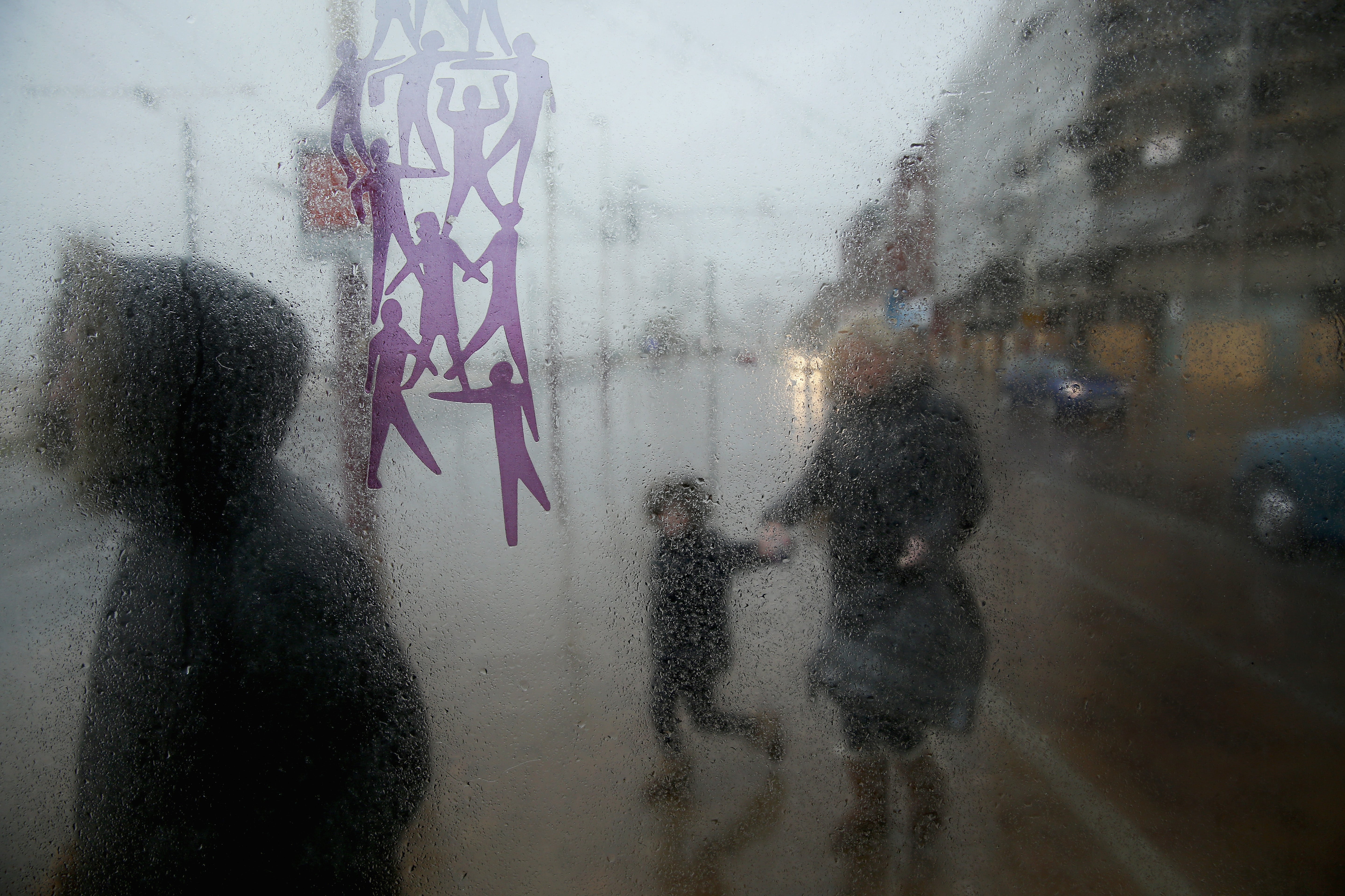
Met Office warnings issued for whole of England and Wales over gale force winds
Power cuts are also possible and delays on the roads are ‘likely’

A yellow wind warning was issued for England and Wales from Wednesday night as heavy winds and showers were expected to bring significant “disruption”, the Met Office said.
The yellow weather warning means strong winds are expected to cause travel delays and short-term power cuts across much of the country.
The warning is in place from 9pm on Wednesday night until at least 3pm on Thursday.
Some powerful wind gusts are expected during the “very unsettled” conditions. According to the Met office, gusts of 50-55 mph are possible inland, with 60-70 mph gusts over hills and on some exposed coasts, especially in the west.
Heavy and blustery showers may bring disruption to England and Wales, the Met Office warned. The east of England may feel colder due to the winds.
“After the recent settled spell the weather will turn more unsettled this week with strong winds and rain,” the Met Office’s chief meteorologist Andy Page said. “Yellow weather warnings for wind are in force.”
“The second of two areas of low pressure is likely to bring the most widespread strong winds, with gusts of 55mph widely across England and Wales later on Wednesday and Thursday, with gusts up to 70mph in exposed western locations,” he said.
The warning says that power cuts are also possible and delays on the roads are "likely" even after the strong wind eases by Thursday afternoon.
"The weather patterns have shifted, much more wet and windy weather sweeping across the country and that is set to last for the next several days,” Met Office forecaster Alex Deakin said. “It really will be quite chilly when the wind is blowing, and it will be blowing pretty strong, especially on Thursday."
The bad weather began in the northwest of Scotland on Tuesday, with a yellow wind warning issued earlier for the Highlands and Eilean Siar.
Looking ahead to later in the week, the Met Office said that as the winds ease, “the rain will turn more showery with spells of sunshine”. “Blustery showers will continue through the weekend with the driest conditions in the east. There are early signs that the weather will settle down again by the middle of next week with the chance of high pressure once again becoming dominant,” it said.
Join our commenting forum
Join thought-provoking conversations, follow other Independent readers and see their replies
Comments


Bookmark popover
Removed from bookmarks