UK weather: Warnings issued for snow, ice, gales and flooding as 'Storm Rachel' hits Britain
Warnings have been issued for power cuts, flooding and travel disruption

Snow could sweep across the UK today as temperatures plummet at the start of days of extreme weather including gales, ice and possible flooding.
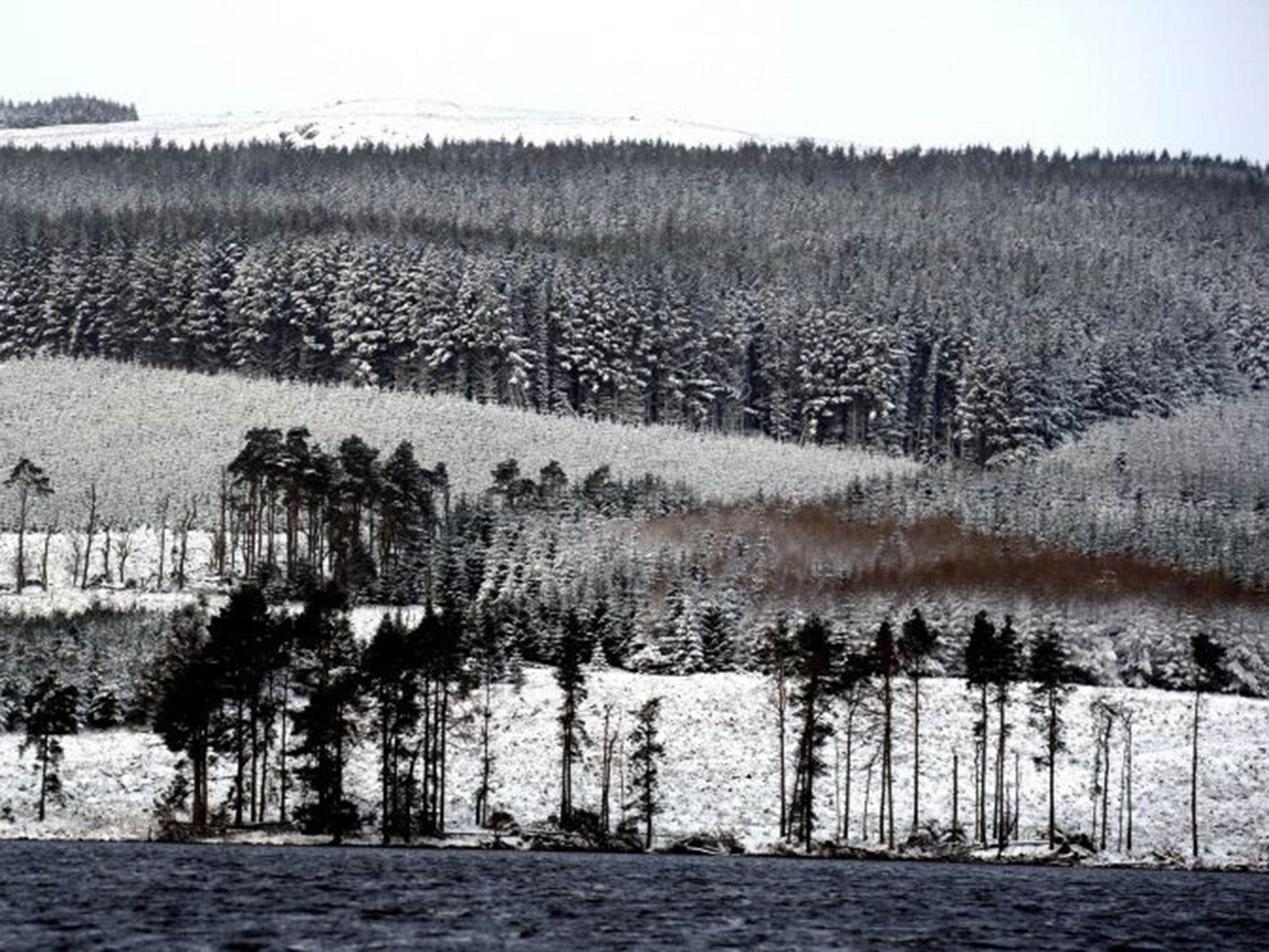
A yellow warning in place today for snow in western England, Wales and Scotland is expanding to cover the whole of the country tomorrow as a powerful weather system moves in from the Atlantic, bringing potentially damaging winds.
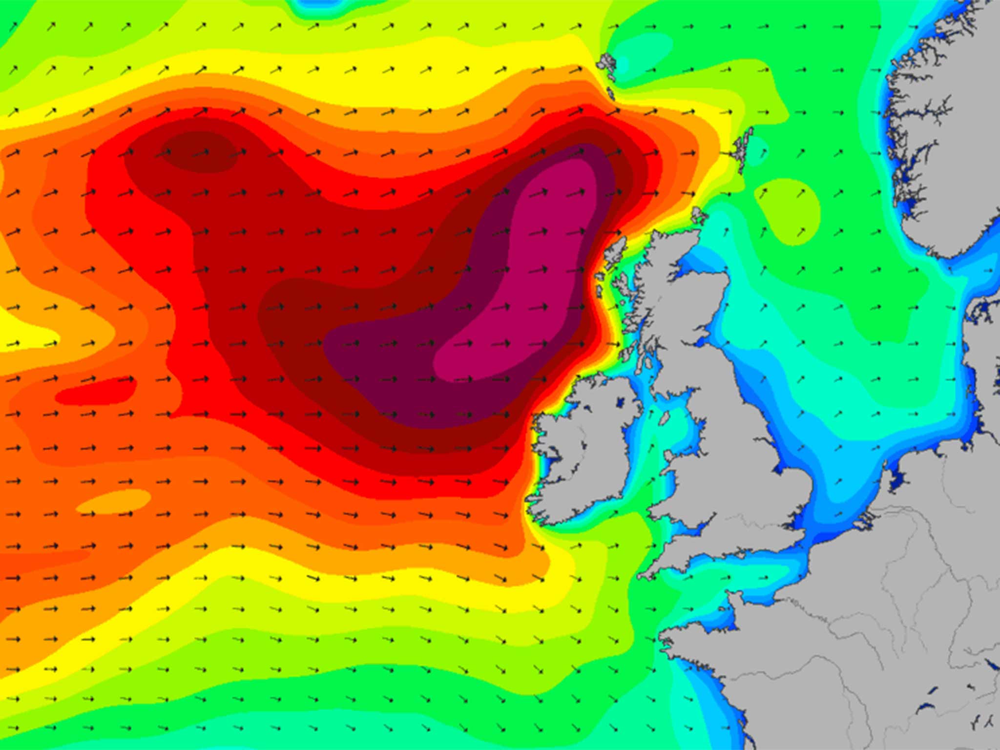
It has been dubbed "Storm Rachel", despite not yet reaching technical storm strength, and has been increasing in intensity while travelling from the US.
On Thursday, the snow is set to be replaced by heavy rain in all parts of Britain apart from northernmost Scotland.
The Met Office has issued a level two warning for “alert and readiness” in advance of the severe conditions.

A spokesperson said there was a 70 per cent likelihood of severe cold weather and icy conditions this week, which could increase health risks to children, the elderly and people with existing health conditions.
“At low levels any snowfall accumulations will be slight, compared to more significant accumulations over higher ground,” he added.
“The colder conditions with wintry showers will persist through to Sunday, apart for a milder period Wednesday night when very wet and very windy conditions move east across England.
“There is some uncertainty for the weekend, but less cold conditions may spread to southern parts for Saturday and Sunday.”
During Tuesday the risk of snow extends into northern England, especially across the Pennines and higher parts of Cumbria. A more persistent spell of sleet and snow may settle at low levels across Scotland on Tuesday night and into Wednesday morning.
A deepening Atlantic low pressure system is responsible for the extreme conditions, which could see up to 80mm of rain cause rivers to burst their banks and surface water flooding.

Last night the Environment Agency had more than 60 flood alerts in place, mainly in the South East and South West.
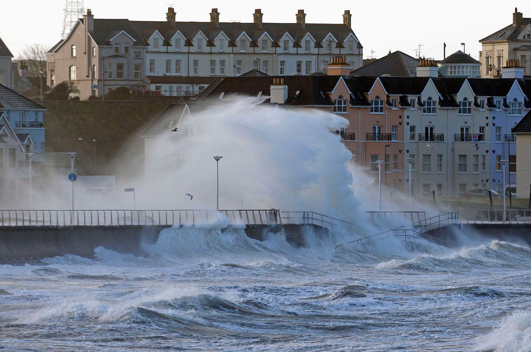
The strongest winds will initially be across England and Wales during the second half of Wednesday into Thursday morning, causing large waves along the coast of Wales and southern England.
A separate swathe of very strong winds will probably affect more northern parts of the UK including central Scotland during Thursday.
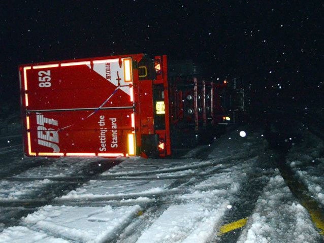
Gusts of up to 65mph are deemed likely in most places but exposed areas could see 75mph – strong enough to bring down fences, trees, power lines and blow lorries over.
The Met Office is warning people to prepare for disruption to transport and widespread power cuts.
British Gas is expecting to receive almost 214,726 calls for help from customers this week as conditions deteriorate - 7,800 more calls compared to last week when the weather was milder.

The warnings come as areas hit by last week’s storms continue to recover and have their electricity supplies restored.
At the height of the bad weather, a total of 120,000 homes in Scotland lost power and a number of lorries overturned on motorways.
Engineers battled with extreme weather to reconnect homes in the north of the country, which remained cut off over the weekend.
Scottish Hydro Electric Power Distribution said that all customers were reconnected by 10pm last night.
In Brighton, two men were swept out to sea in gale-force conditions at the weekend and three people had to be rescued after being stranded in a blizzard in the Cairngorms.
Join our commenting forum
Join thought-provoking conversations, follow other Independent readers and see their replies
Comments