Mapped: Where snow will fall in next 72 hours as cold snap to return
Large swathes of the UK set to experience more snow
Your support helps us to tell the story
From reproductive rights to climate change to Big Tech, The Independent is on the ground when the story is developing. Whether it's investigating the financials of Elon Musk's pro-Trump PAC or producing our latest documentary, 'The A Word', which shines a light on the American women fighting for reproductive rights, we know how important it is to parse out the facts from the messaging.
At such a critical moment in US history, we need reporters on the ground. Your donation allows us to keep sending journalists to speak to both sides of the story.
The Independent is trusted by Americans across the entire political spectrum. And unlike many other quality news outlets, we choose not to lock Americans out of our reporting and analysis with paywalls. We believe quality journalism should be available to everyone, paid for by those who can afford it.
Your support makes all the difference.The Met Office has issued a new flurry of weather warnings as the UK braces for another Arctic blast bringing yet more snow and ice.
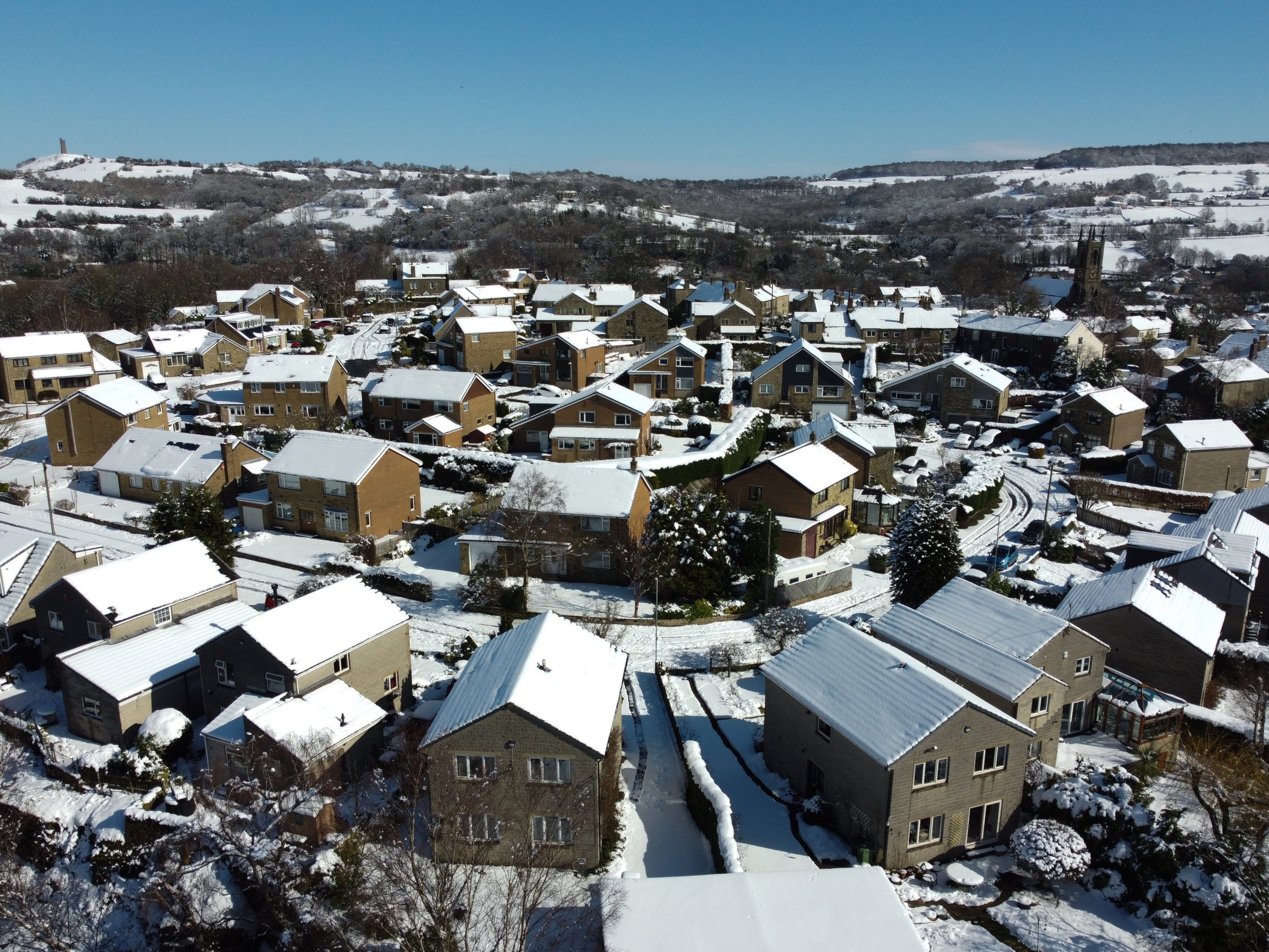
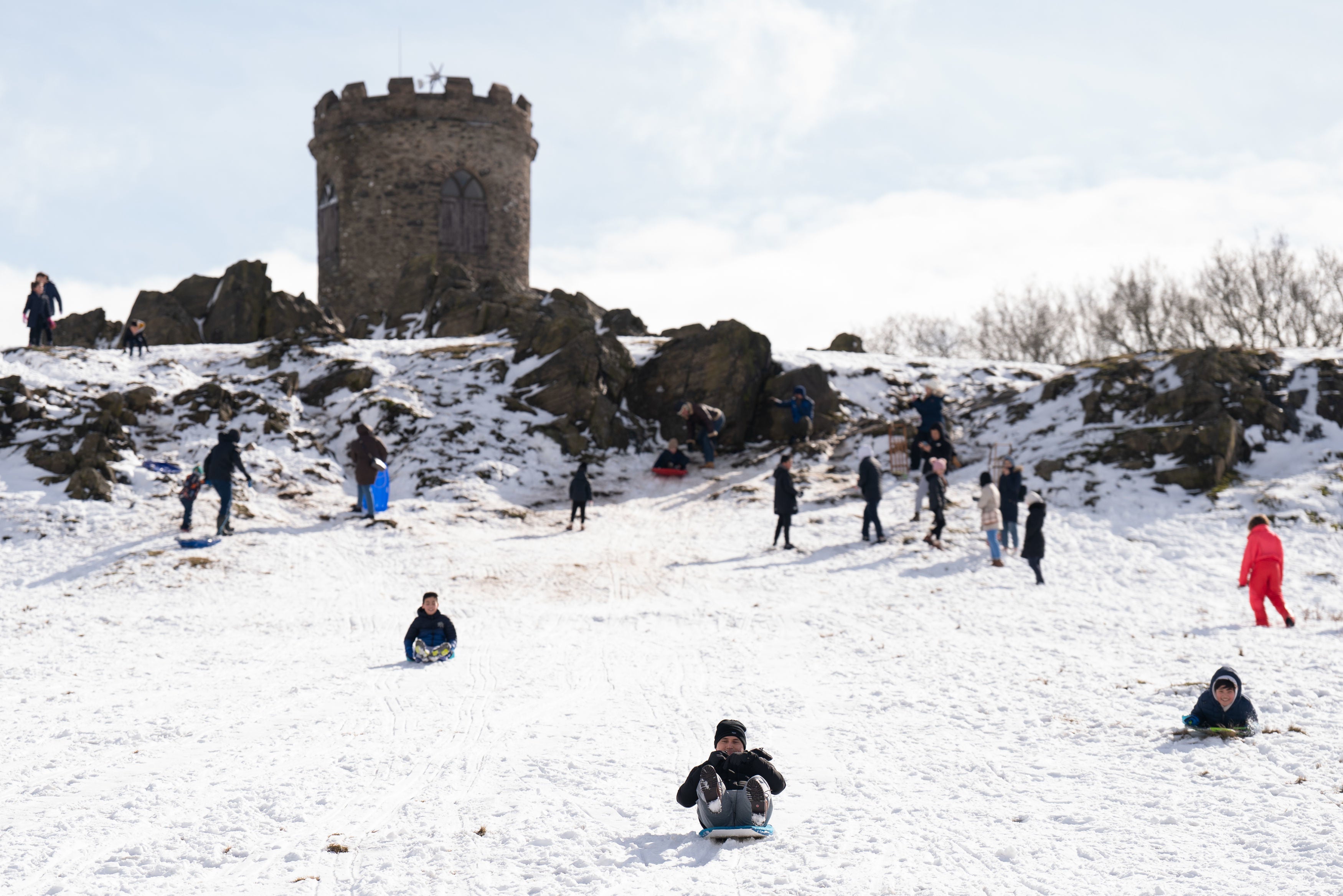
Following a week which brought the coldest March nights since 2010 and wintry conditions which forced hundreds of school closures, much of the country was given a brief respite of double-digit temperatures on Sunday.
But meteorologists warned that the country was facing “a real rollercoaster in our weather over the next few days” – with snow and icy conditions set to return this week.

The UK Health Security Agency has issued its second-most severe cold weather alert in the north of England, warning that the icy weather could “increase the health risks to vulnerable patients and disrupt the delivery of services” between Monday afternoon and Thursday morning.
It comes on top of a wave of new weather alerts that the Met Office has put in force across the country, with meteorologists warning that further warnings are likely as the week progresses.
The Met Office’s chief forecaster, Dan Suri, said: “An area of low pressure moving eastward has brought a mild, and blustery start to the week for much of England and Wales, with showers and some coastal gales.
“However, an Arctic maritime air mass will reassert itself from the north later today bringing with it another dose of snow and frosty nights for some.
“As we head through the second half of the week conditions turn milder, wetter and windier from the west. This change to milder conditions will be proceeded by some snow over parts of northern England and Scotland later on Wednesday, mainly over higher ground.”
The map below shows where weather warnings for snow - as well as those for ice and strong winds - have been issued in the UK:
On Monday, much of southern England and the Midlands are subject to a yellow warning for wind, potentially bringing delays to road, rail, air and ferry transport, short term losses of power and damage to trees. Gusts of up to 55mph are forecast across many areas, rising to 65mph in coastal and hilly areas.
Yellow warnings for snow and ice across are also in force across Scotland until Tuesday morning, where residents will have to deal with rain, sleet and snow followed by ice, which is likely to have some impact on travel, according to the forecasters.
The Met Office said that snow and ice across “much of Scotland” on Monday morning and that “outbreaks” of rain and strong winds are set for England, Wales and Northern Ireland.
By the Monday morning rush hour there were more than 60 flood alerts along with five warnings that flooding was expected.
The prospect of wintry showers and partially melted snow freezing on untreated surfaces and turning them into icy stretches was also raised for people in Scotland, Northern Ireland, northern England and north Wales, where a yellow warning for snow and ice is set to run until Tuesday morning.
The Met Office said: “Cold air spreading southwards across the UK, following a band of rain, sleet and snow, will bring frequent snow showers to northern, western, and eastern Scotland, as well as parts of Northern Ireland.

“Overnight, these will accumulate on some roads and pavements, with anywhere between a light dusting and several cm of snow possible.
“Between the showers, partially melted snow is likely to freeze on untreated surfaces leading to icy stretches.
“Wintry showers will continue through Tuesday, although by mid-morning the temperature on most roads will likely have risen sufficiently to reduce the risk of further accumulating snow or ice.”
Additional reporting by PA


Join our commenting forum
Join thought-provoking conversations, follow other Independent readers and see their replies
Comments