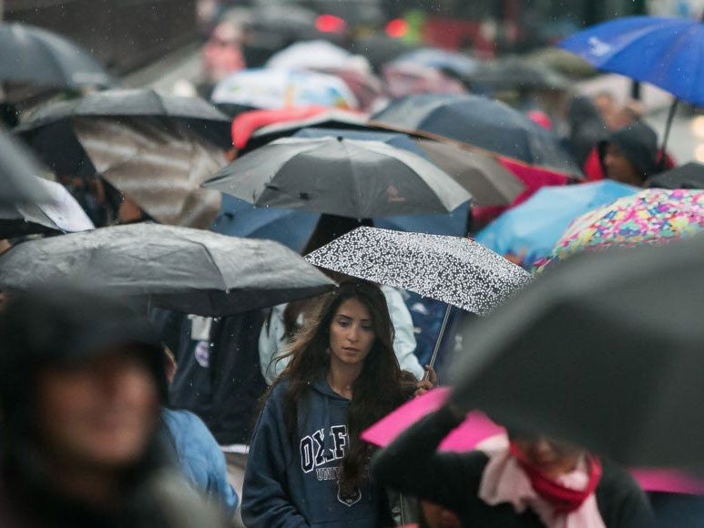
UK weather: Met Office issues weather warning and warns 20mm of rain to fall in an hour
Enjoy this weekend's sunshine whilst you can

Britain has been warned to brace itself for thunderstorms, floods and lightning in the coming days.
The baking hot temperatures of Saturday afternoon are likely end abruptly with flash floods and lightning hitting Manchester and Liverpool.
The Met Office warns that the poor weather will continue for much of this week, issuing a warning for conditions.
Saturday morning and early afternoon are expected to be dry, bright and pleasant, with temperatures of up to 24C.
However, light winds and rain will appear from around 2pm before thickening later in the night. This will bring an outbreak of heavy rain and thundery showers.
The Met Office warns that some parts of the UK could receive as much as 30-60mm of rain during this time, with some areas of localised downpours producing 15-20mm in an hour. Thunder and lightning is expected throughout much of the country, especially in northern regions.
The wet and windy weather is expected to continue throughout Monday, before easing again by Tuesday morning.
From Tuesday, patches of sunshine will return intermittently, but temperatures will remain much cooler than recent times, with heavy showers persisting.
The sharp contrast to yesterday afternoon’s sunny weather is due to a phenomenon known as the ‘Spanish Plume’. The ‘plume’ is hot air moving up from the Spanish plateau towards the UK which, when it meets cooler air from the Atlantic, is forced rapidly upwards. It is this movement which is expected to produce the heavy rain, thick clouds and strong winds.
Join our commenting forum
Join thought-provoking conversations, follow other Independent readers and see their replies
Comments
Bookmark popover
Removed from bookmarks