New Year’s Eve: Weather map shows how you’ll be affected as Met Office issues wind and rain warnings
Severe weather is set to dampen New Year’s celebrations across the UK
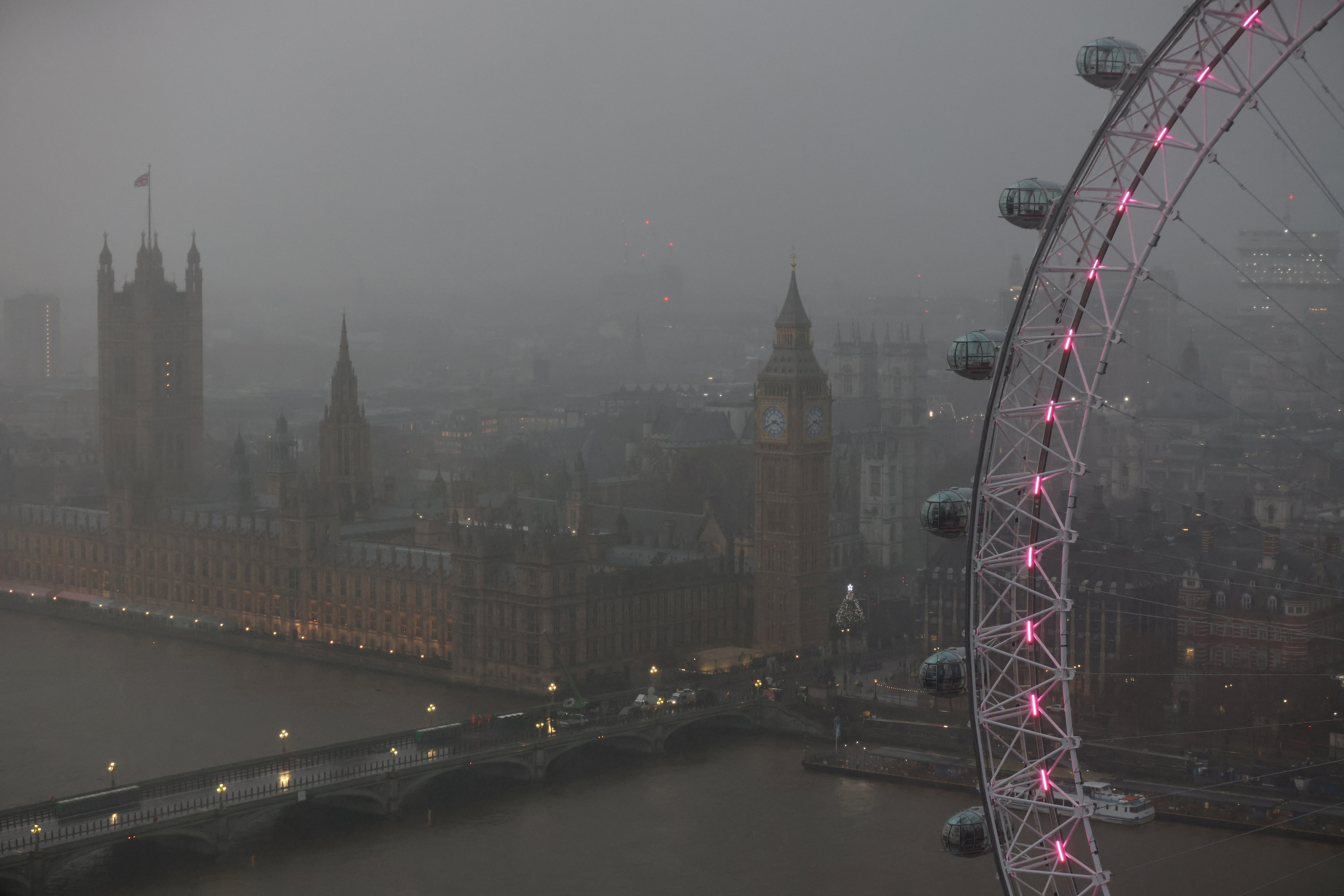
The UK is set to be hit by snow, rain and heavy winds over the New Year with several weather warnings being issued by the Met Office.
Covering Monday 30 December to Thursday 2 January, the warnings see all parts of the UK affected at some point in the week. The wet and windy weather will begin in Scotland and northern regions before moving downwards overnight on New Year’s Eve and into New Year’s Day.
Warnings have been issued for heavy rain, winds, snow and ice. Most are yellow warnings, where extra precaution should be taken, but one amber warning has been issued on Tuesday which poses a flood threat.
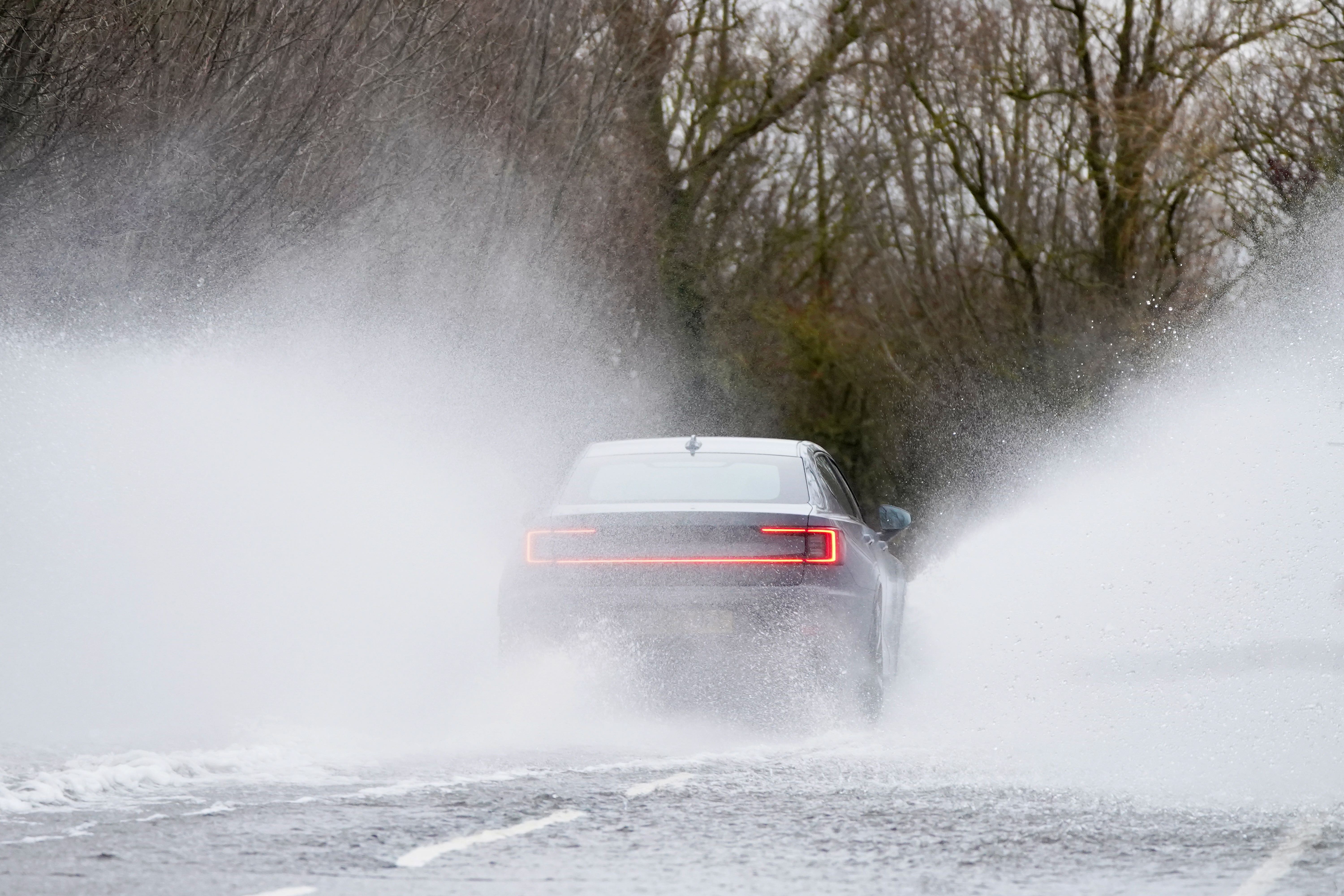
Senior Met Office forecaster Craig Snell said: “Moving into New Year’s Eve, another system moves in from the Atlantic, again, Scotland bearing the brunt of this one with some further heavy rain and snow and strong winds.”
He added: “The main bit of advice from the Met Office over the coming days is, with the celebrations and people on the move throughout the new year and Hogmanay period, is the keep checking the forecast and to stay up to date with that.”
Here’s how your region is set to be affected by the bad weather:
England
North East England
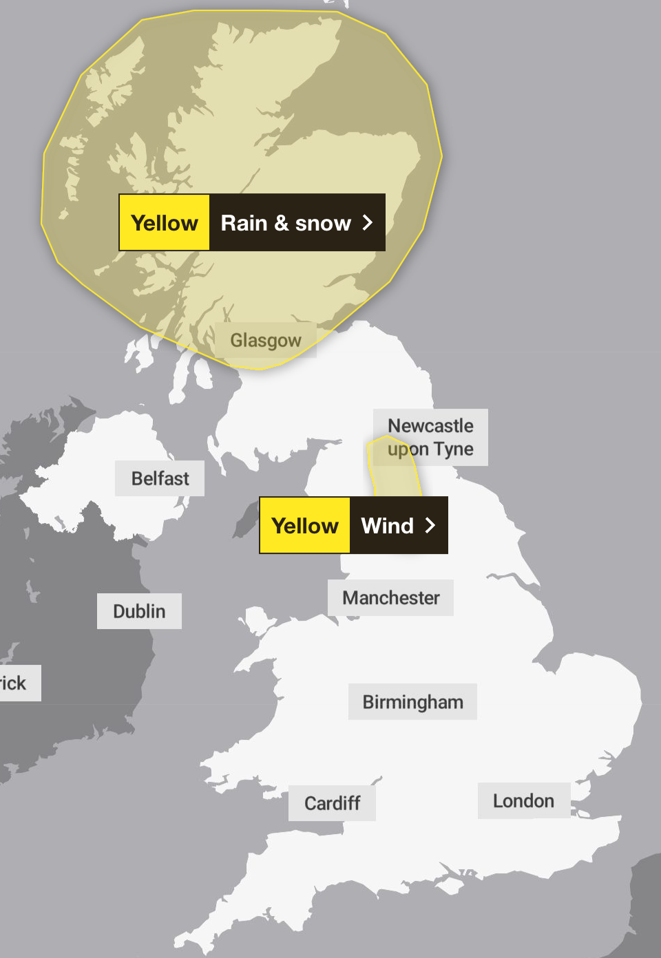
For those in the North East, the worst weather will come on New Years’ Eve, with yellow wind warnings in place across the day. The Met Office says that gusts of 50 to 60mph can be expected in the morning, possibly reaching 70mph is exposed areas.
North West England
Like in the North East, Tuesday will be the worst day for bad weather in the North West, with a yellow wind warning covering the region. However, the strong winds will begin in to the north and east in the morning, before make their way west and then into the North West closer to evening time.
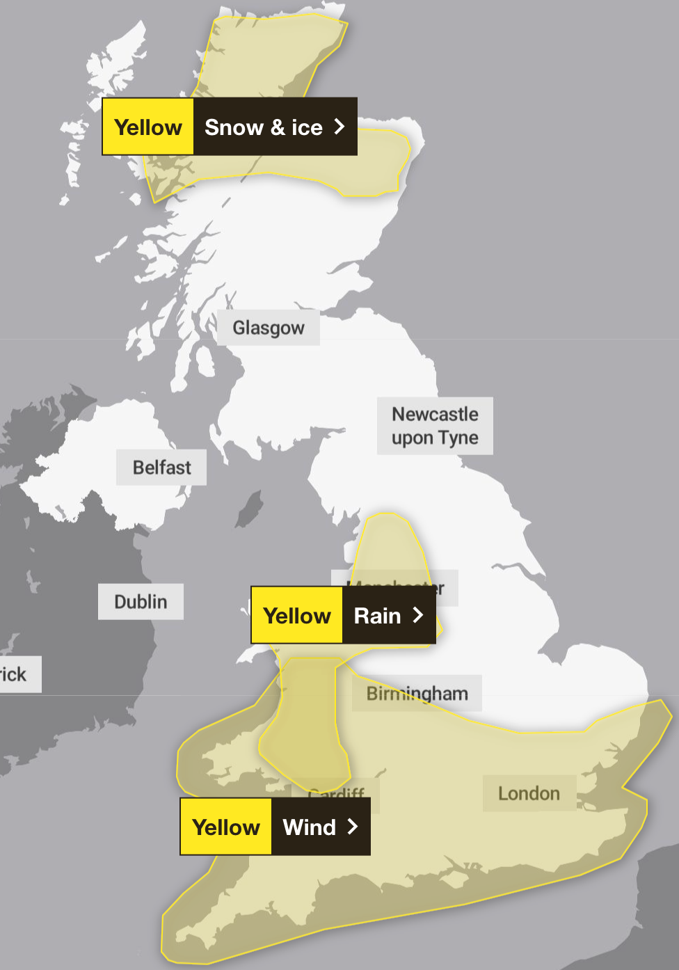
A yellow rain warning is also in place for the parts of the region stretching from Lancashire to Cheshire, which lasts both 30 December and 1 January.
West Midlands
It’s set to be a wet new year for parts of the West Midlands as yellow warning for rain is in place on both December 31 and January 1. This will cover Stoke-on-Trent and other northern-most portions of the region.
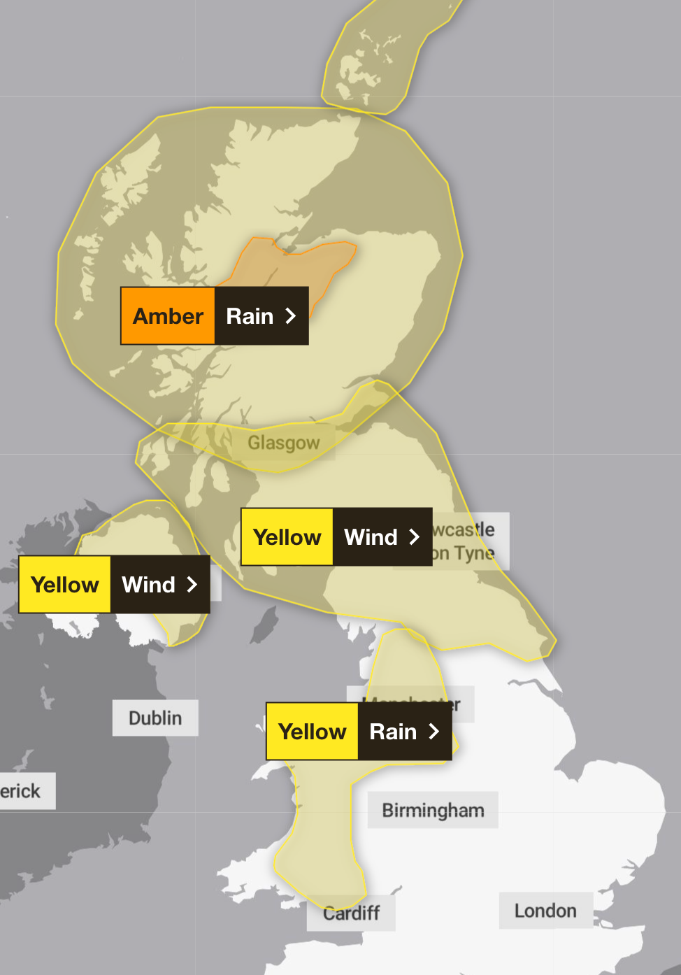
Other parts of the region will be spared from the most adverse weather on New Year’s Eve, but will will hit by a yellow wind warning on New Year’s Day, covering the southern parts of Birmingham downwards.
Yorkshire and the Humber
In Yorkshire, a yellow wind warning is set to affect northern parts of the region on 31 December. Most southern parts of the region can expect lighter conditions.
London
In the capital, the worst weather will come on New Years’ Day. Wind warnings are in place for 1 January as the adverse conditions make their way southwards. Forecasts show that the worst will come in the early hours, with wind gusts predicted to reach as fast as 52mph around 6am.
South East England
In the South East, a yellow weather warning for wind is in place on New Year’s Day. Inland gusts are expected to be in the 40 to 50mph range, but residents are warned that coastal areas, especially to the south, could see much more severe conditions.
South West England
A yellow weather warning is also in place in the South West for all of New Year’s Day. Like the South East and London, inland gusts are expected to be in the 40 to 50mph range, but in the south and west regions this could reach 65 to 75mph, the Met Office has warned.
East Midlands
Residents of the East Midlands can expect only light weather conditions going into the new year, as Met Office warnings largely skirt around eastern regions of the UK.
East of England
Like the East Midlands, the East of England is also set to be spared from the worst of the bad weather. Expect some rain and wind, but none as severe as other parts of the country will be seeing.
Rest of UK
Scotland
The worst of the new year weather will be seen in Scotland, where yellow weather warnings remain in place from Monday to Thursday, alongside a more severe amber warning on Tuesday.
Heavy rain and snow is set to come to the mainland on Monday, which will extend to the northern islands by Tuesday. Also on this day, an amber warning for rain will be in place in central Scotland, stretching from Inverness to Fort William. Residents should be wary of possible flooding.
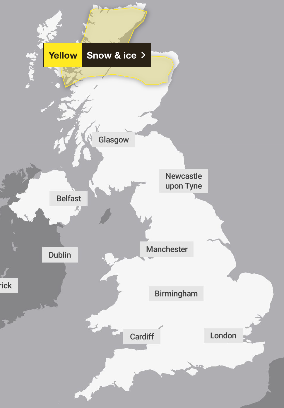
On Wednesday and Thursday, yellow weather warnings for snow and ice will remain in the north of the country, from Aviemore upwards.
Wales
Most of Wales will see heavy rain on Tuesday and Wednesday, as a yellow weather warning is in place for both days. This will hit the bulk of the mainland, but will not be felt as strongly in western areas such as Holyhead or St Davids.
On Wednesday, the yellow wind warning affecting most of the south of the UK will extend to most of Wales, with just the north of the country seeing lesser effects.
Northern Ireland
Northern Ireland will only be affected by strong winds on 31 December, when a yellow weather warning has been issued for most of the country. This extends to all of the north – from Donegal to Belfast – but won’t reach souther regions like Armagh.
Join our commenting forum
Join thought-provoking conversations, follow other Independent readers and see their replies
Comments
Bookmark popover
Removed from bookmarks