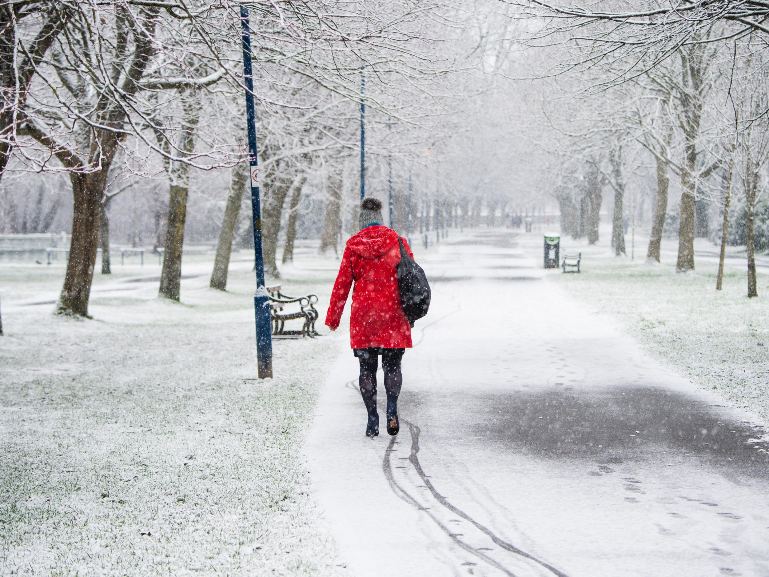
UK weather latest: Britain braced for more freezing conditions as snow and ice warnings issued across country
Forecasters warn some roads and railways likely to be affected

Your support helps us to tell the story
From reproductive rights to climate change to Big Tech, The Independent is on the ground when the story is developing. Whether it's investigating the financials of Elon Musk's pro-Trump PAC or producing our latest documentary, 'The A Word', which shines a light on the American women fighting for reproductive rights, we know how important it is to parse out the facts from the messaging.
At such a critical moment in US history, we need reporters on the ground. Your donation allows us to keep sending journalists to speak to both sides of the story.
The Independent is trusted by Americans across the entire political spectrum. And unlike many other quality news outlets, we choose not to lock Americans out of our reporting and analysis with paywalls. We believe quality journalism should be available to everyone, paid for by those who can afford it.
Your support makes all the difference.Britain remains braced for more wintry conditions after snow and ice warnings were issued for many parts of the country.
Temperatures throughout Thursday are set to linger in the single figures across the UK, but higher winds will make it feel only slightly warmer than Wednesday.
Heavy snow showers are expected to follow going into Friday as temperatures plummet after a spell of rain, sleet and hill snow, forecasters warned.
The Met Office has issued yellow "be prepared" warnings over snow and ice for most of Scotland, northern England, the West Midlands, Yorkshire and Humber, Wales and Northern Ireland.
The warnings come into force from 10pm on Thursday and will last until midday on Friday.
Forecasters said some roads and railways were likely to be affected, with longer journey times by road, bus and train services, while some injuries from slips and accidents on icy surfaces are possible.
The Met Office said: "Rain, sleet and hill snow is expected to clear northwestern Scotland late on Thursday evening, and these clearer conditions will spread to all parts by early Friday morning.
"Ice is expected to form as skies clear. Heavy snow showers will follow, and these will be most frequent across Northern Ireland and western Scotland, where 2-5 cm may accumulate above 100 metres with some snow to low levels too. Ice will be the main hazard across Northern England and Wales."
The Met Office has warned the cold snap could last into March.
Alex Burkill, chief forecaster at the weather agency, said: “Really much of February and perhaps even into March it is going to stay on the cold side, so temperatures generally below average, with further frosts and also the risk of rain, sleet and snow as well.”
Additional reporting by PA
Join our commenting forum
Join thought-provoking conversations, follow other Independent readers and see their replies
Comments