UK weather forecast: Britain set for thundery rain before North Sea winds bring bitter cold snap
Easterly winds ‘going to feel pretty chilly,’ Met Office says
Your support helps us to tell the story
From reproductive rights to climate change to Big Tech, The Independent is on the ground when the story is developing. Whether it's investigating the financials of Elon Musk's pro-Trump PAC or producing our latest documentary, 'The A Word', which shines a light on the American women fighting for reproductive rights, we know how important it is to parse out the facts from the messaging.
At such a critical moment in US history, we need reporters on the ground. Your donation allows us to keep sending journalists to speak to both sides of the story.
The Independent is trusted by Americans across the entire political spectrum. And unlike many other quality news outlets, we choose not to lock Americans out of our reporting and analysis with paywalls. We believe quality journalism should be available to everyone, paid for by those who can afford it.
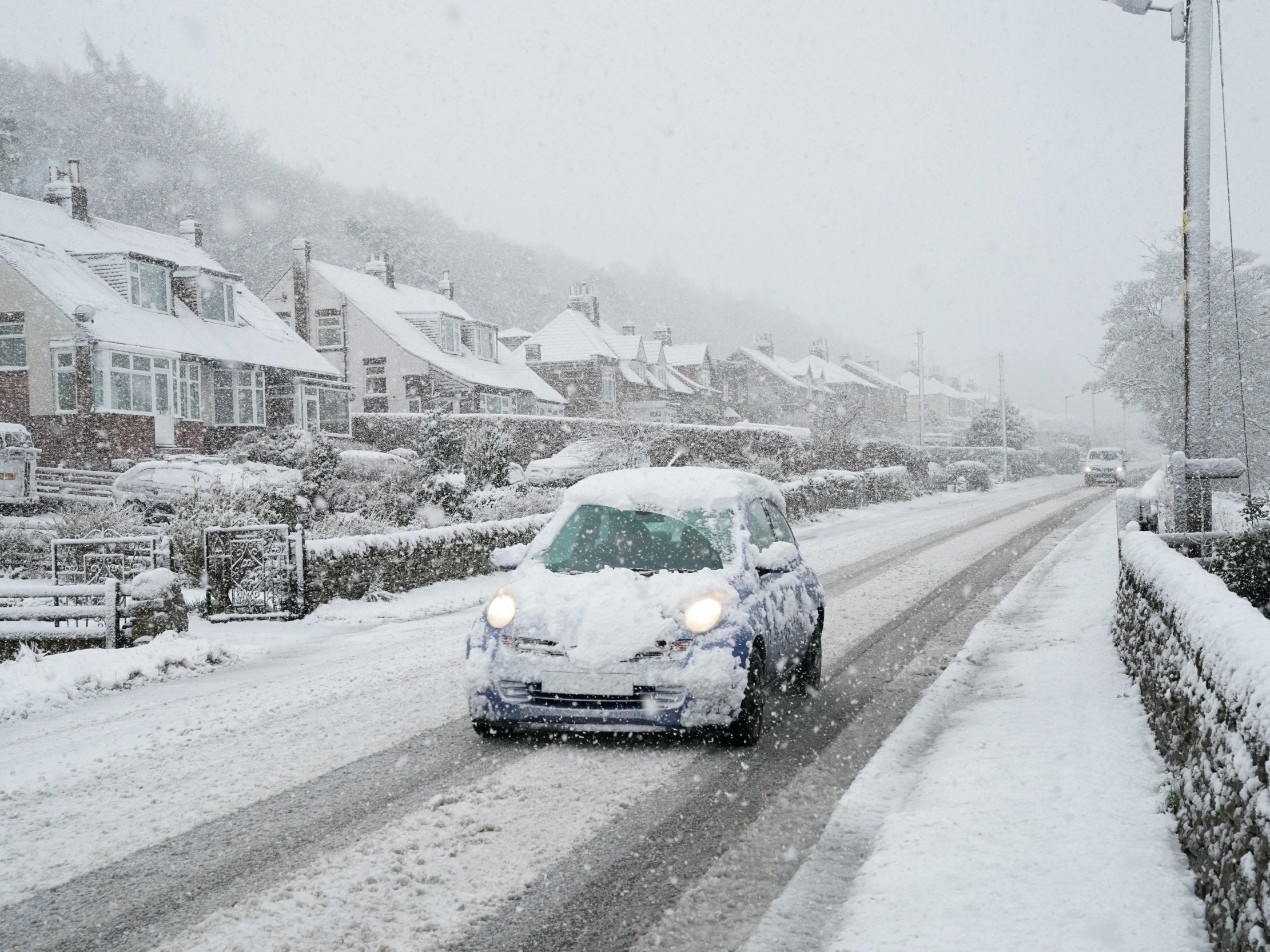
Your support makes all the difference.Britain is set for more thundery rain showers, hail and sleet on Thursday, as drivers were warned to take care in the wild conditions.
Forecasters have predicted the spell of wet, wintry weather will continue over the next few days, before biting easterly winds cause an icy cold snap at the beginning of next week.
The arrival of the “chilly” blast blowing in from the North Sea will divide the country in two – plunging temperatures in the east coast as low as 6C, while the west coast enjoys sunshine and highs of 16C.
Aidan McGivern, meteorologist at the Met Office, said: “It’s not going to warm up everywhere, because we’re going to start to find ourselves with easterly winds next week – and they’re going to feel pretty chilly coming in from the North Sea.
“Because of the cold air moving in the showers could well be sleet or snow over the hills,” the forecaster added.
Commuters faced severe delays on Thursday morning after rail companies blamed icy conditions for cancelled services.
Southeastern halted some trains completely and warned of disruption to others but commuters were scornful of journeys being affected by a “tiny bit of ice”.
Snow fell in parts of South Wales overnight amid a yellow warning for the region from the Met Office, which remained in place until 11am Thursday morning.
Rain and sleet were expected to affect driving conditions today, including in the West Midlands. The Met Office urged drivers to take care on icy stretches of road.
Some police forces in England and Wales said there had been several accidents and road closures caused by the weather conditions in the past 24 hours.
Central and southern parts of England could also see heavy thundery downpours throughout the day, while the best of the weather is likely to be across eastern England.
Temperatures are predicted to struggle to get above 10C or 11C, but could feel as low as 7C because of the wind and rain.
Friday could see more rain in the west and far north of the country, although conditions are set to brighten up elsewhere.
“Showers will become less potent and less widespread,” said Mr McGivern. “Nevertheless it will still be a showery day for Northern Ireland, for Wales and the southwest of England. However, many places will be drier and brighter.”
The weekend will feature rain showers in the east, with some dry and sunny spells in other parts of the country and conditions becoming warmer in the west coast.
Join our commenting forum
Join thought-provoking conversations, follow other Independent readers and see their replies
Comments